We are excited to announce a new way to explore and visualize the latest 5-year estimate American Community Survey data (2019-2023) from the U.S. Census Bureau in a collection of curated Atlas Instant Apps.
What is the American Community Survey?
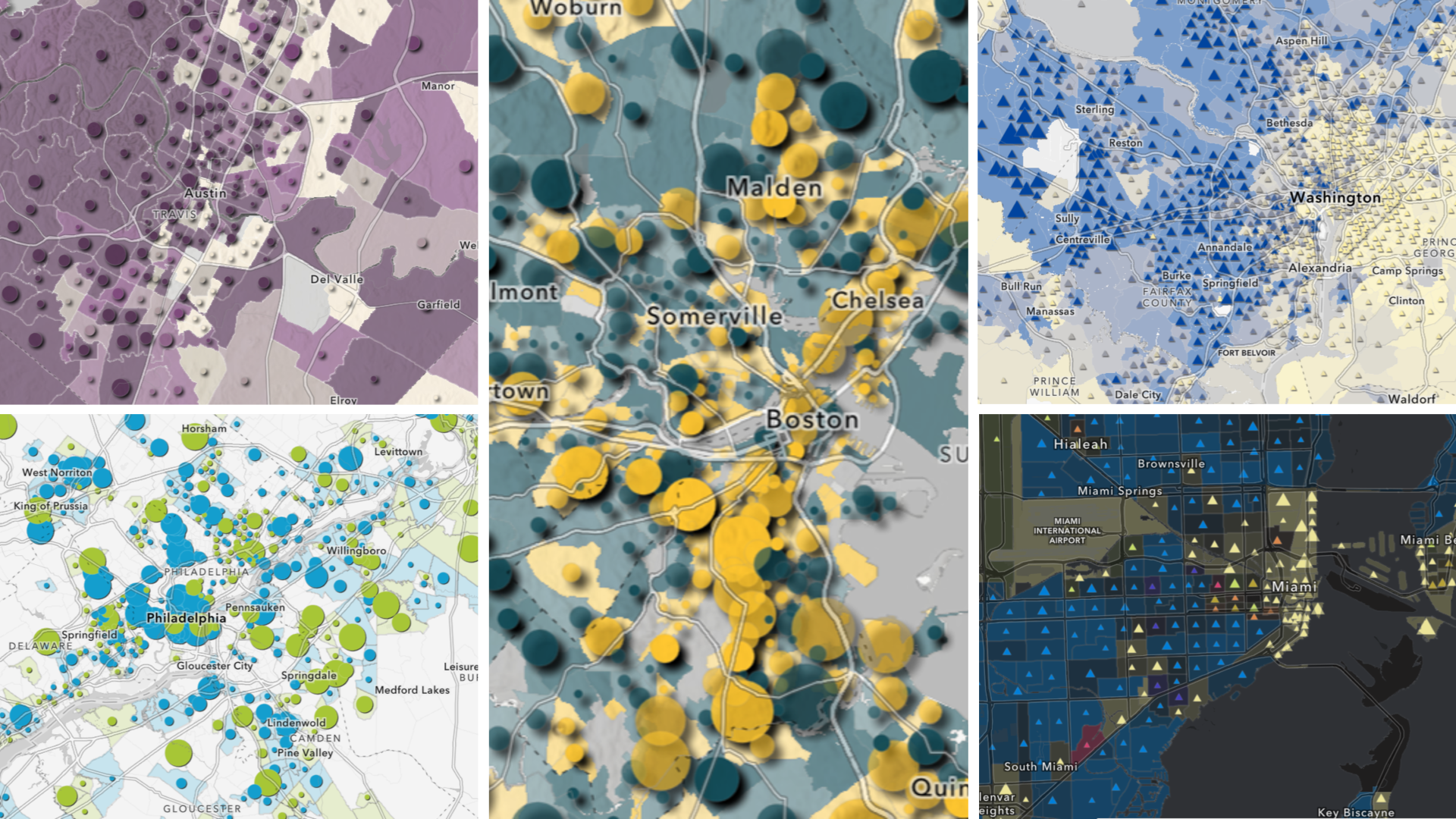
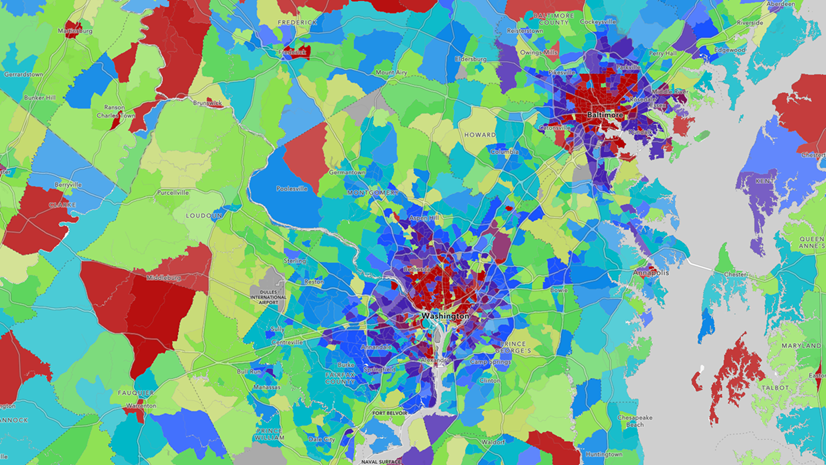
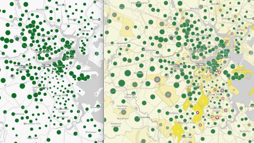
The American Community Survey (ACS) is conducted yearly by the U.S. Census Bureau and provides data on a variety of topics including age, race, income, education, employment, and housing characteristics. The ArcGIS Living Atlas Policy Mapping team updates this collection of free layers that contain the latest 5-year estimates of ACS data. In addition to the layers, there are over 200 maps and apps that have been created highlighting the current-year data. The growing collection of maps and apps can be found in the group: Current-Year ACS Map and App Examples.
ACS Atlas Collection
With the ever growing collection of maps being made with the ACS data, the Living Atlas team wanted to leverage the ArcGIS Atlas Instant App template to provide users with a more interactive and engaging way to discover content. The GIS community can now explore over 175 web maps using the latest data that address a variety of topics defined by Census.

The ACS Atlas Collection is a group of five Atlas Instant Apps that have been curated by the following thematic areas: Demographics, Social Characteristics, Economic Characteristics, and Housing. All the content in the individual Atlas apps are also grouped in a general ACS Atlas to view all maps in one application, with categories including children & youth, seniors, and racial disaggregation.
Explore the Atlases
The ArcGIS Atlas Instant app showcases different collections of web maps with other tools to interact with the data. Users can browse and filter using different categories, navigate using bookmarks, and save screenshots with the legend and pop-up included.


Users also have the option to sign into their ArcGIS Online account and save their own copies of maps, ArcGIS StoryMaps or other Instant App directly from the Atlas interface.

The ACS Atlas collection is intended to supply all levels of the GIS community with an intuitive tool to help users explore and discover new trends or topics with curated collections of maps. Start exploring now and discover the variety of topics that are generated through the American Community Survey.


Article Discussion: