Are you ready for the world’s largest GIS event of the year? The 2023 Esri User Conference will be held in San Diego, California from July 10-14, 2023. The conference is a great opportunity to connect with like-minded GIS enthusiasts, get insights into cutting-edge GIS technology, and explore an array of sessions featuring the latest product updates.
Discover the latest and greatest indoor GIS has to offer while learning, connecting, and exploring the limitless potential of GIS technology. Be sure to bookmark this blog as we have curated the highly anticipated activities around ArcGIS Indoors and ArcGIS IPS. Explore our wealth of sessions, check if your data is ready for an indoor GIS deployment, and join us in the showcase area to have a 1:1 conversation with subject matter experts.
Agenda
- Showcase
- Tuesday, July 11
- Wednesday, July 12
- Thursday, July 13
- Special Interest Group Meeting
- Indoors Data Readiness Check Appointments
Showcase
Stop by the ArcGIS Indoors and ArcGIS IPS kiosks located in the Indoor GIS Showcase area to connect with experts, get a demo, learn about the products’ capabilities and features, and answer any questions. You’ll have the exclusive opportunity to test ArcGIS Indoors on your own mobile device and experience real-time indoor wayfinding powered by ArcGIS IPS live in action.
Be sure to check out the UC Event Maps supported by ArcGIS Indoors to familiarize yourself with the conference venue and plan your visit ahead of time or get directions once you’re on-site. A web map is now available at uc2023.esri.com
Check out the Esri Events mobile app to get the most out of your 2023 UC attendance and easily find your way to the indoor GIS showcase and sessions. Alternatively, there will also be directory kiosks throughout the conference venue to help attendees with orientation.
For more information on the UC Maps and how they were created, read this blogpost dedicated to mapping the Esri UC.
Showcase hours
Tue, July 11: 09:00 a.m. — 06:00 p.m.
Wed, July 12: 09:00 a.m. — 06:00 p.m.
Thu, July 13: 09:00 a.m. — 04:00 p.m.
Sessions
Tuesday, July 11

ArcGIS IPS: An Introduction and the Road Ahead
Tuesday, July 11, 8:30 AM – 9:30 AM
Room 14 B
TECHNICAL WORKSHOP
In this session, you will learn about ArcGIS IPS, an indoor positioning system that enables you to locate yourself and others inside a building or facility in real time. The session will include a product overview, technology background, use-cases, trends, and roadmap.

ArcGIS Indoors: An Introduction
Tuesday, July 11, 10:00 AM – 11:00 AM
Room 14 A
TECHNICAL WORKSHOP
In this session, learn how to transform CAD and BIM floor plans into an information model in the Geodatabase for authoring and sharing floor-aware maps of your building interiors. Also, learn how to leverage these indoor maps to power Indoors apps for space planning and offering employees, building occupants, and visitors a web and mobile experience for way-finding, workspace reservation, location sharing, building incident reporting, and more.

ArcGIS IPS: Building Your Own Indoor Positioning App
Tuesday, Jul 11, 11:30 AM – 12:15 PM
Expo Demo Theater 2
DEMO THEATER PRESENTATION
Learn how to use ArcGIS Maps SDKs for Kotlin and Swift to add indoor positioning to your native mobile applications (iOS and Android).
Wednesday, July 12

Indoor GIS: Mapping Indoor Assets
Wednesday, Jul 12, 10:00 AM – 10:45 AM
Expo Demo Theater 5
DEMO THEATER PRESENTATION
Want to map the location of your indoor assets? In this session, you will learn how to use indoor maps created with ArcGIS Indoors with ArcGIS Field Maps to do field data collection indoors.

ArcGIS IPS: An Introduction and the Road Ahead
Wednesday, July 12, 10:00 AM – 11:00 AM
Room 2
TECHNICAL WORKSHOP
In this session, you will learn about ArcGIS IPS, an indoor positioning system that enables you to locate yourself and others inside a building or facility in real time. The session will include a product overview, technology background, use-cases, trends, and roadmap.
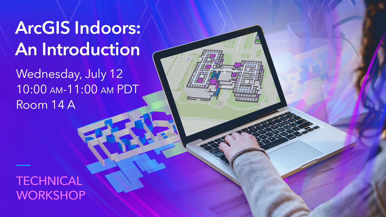
ArcGIS Indoors: An Introduction
Wednesday, July 12, 10:00 AM – 11:00 AM
Room 14 A
TECHNICAL WORKSHOP
In this session, learn how to transform CAD and BIM floor plans into an information model in the Geodatabase for authoring and sharing floor-aware maps of your building interiors. Also learn how to leverage these indoor maps to power Indoors apps for space planning and offering employees, building occupants, and visitors a web and mobile experience for wayfinding, workspace reservation, location sharing, building incident reporting, and more.

ArcGIS IPS: Best Practices
Wednesday, Jul 12, 1:00 PM – 1:45 PM
Expo Demo Theater 5
DEMO THEATER PRESENTATION
In this session you will learn how to assure the quality of your ArcGIS IPS deployment. The presentation will cover a product overview and demonstration of how to use ArcGIS IPS tools in ArcGIS Pro to analyze, assure and control the quality of your ArcGIS IPS deployment.
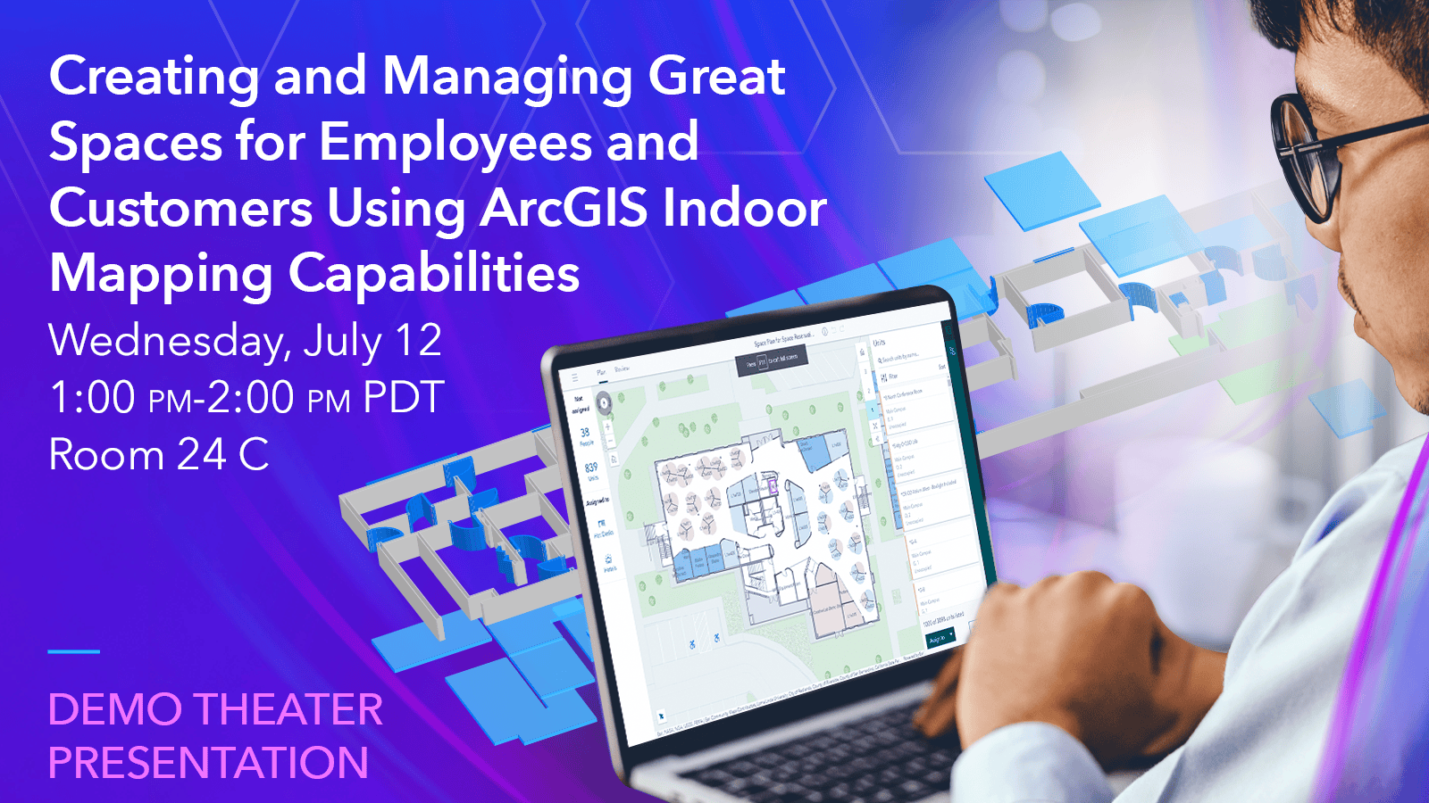
Creating and Managing Great Spaces for Employees and Customers Using ArcGIS Indoor Mapping Capabilities
Wednesday, Jul 12, 1:00 PM – 2:00 PM
Room 24 C
USER PRESENTATION
ArcGIS provides a robust platform to build a digital twin of a facility. This enables service providers, contractors and building managers to see and understand critical infrastructure, essential for their tenants and customers. This session will highlight how contractors are using ArcGIS indoor mapping capabilities to create support for their customers and help them build the spaces where employees and customers want to be.

Innovations in GIS Use in Campus Administration and Navigation
Wednesday, Jul 12, 1:00 PM – 2:00 PM
Pacific Ballroom 14
USER PRESENTATION
Join us for an innovative investigation into how GIS is being used for interior navigation and administration on university campuses. Applying GIS in this area helps campus administrators and the entire campus community attract new students, saves time, saves energy and water, and improves safety in these dynamic landscapes.
Gain insights from our customer ETH Zürich on how they are using ArcGIS IPS to improve indoor wayfinding and accessibility across their university campus encompassing 55 buildings.

ArcGIS Indoors: Floor Plan Editing
Wednesday, Jul 12, 2:30 PM – 3:15 PM
Expo Demo Theater 2
DEMO THEATER PRESENTATION
Want to build an indoor GIS and put your facilities team in the driver seat of editing the data and do what-if scenario planning? In this session, learn how to use ArcGIS Indoors web-based floor plan editor to manage and maintain your floor plan maps.
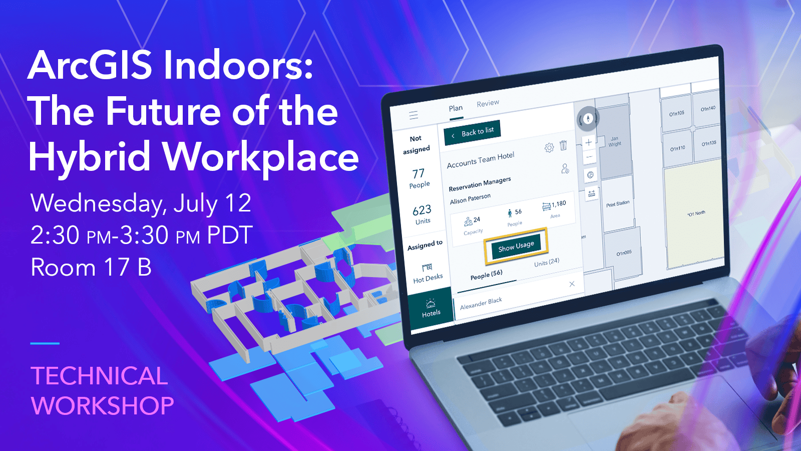
ArcGIS Indoors: The Future of the Hybrid Workplace
Wednesday, Jul 12, 2:30 PM – 3:30 PM
Room 17 B
TECHNICAL WORKSHOP
The hybrid workplace enables the reopening of facilities through better workplace experiences, easier trips on-site, and faster internal services. In this session, attendees can discover more about ArcGIS Indoors applications for space planning, workspace reservation, indoor navigation, and incident management. Please join our session to learn more about ArcGIS Indoors for hybrid workplaces.

ArcGIS IPS: Technology and Deployment
Wednesday, Jul 12, 4:00 PM – 4:45 PM
Expo Demo Theater 5
DEMO THEATER PRESENTATION
ArcGIS IPS is Esri’s new indoor positioning product. In this session you will learn about the indoor positioning technology that powers ArcGIS IPS. We will help you to understand how the underlying technology works, how to best set up indoor positioning and which factors improve your indoor positioning quality.

Managing Lease Space and Work Orders at Airports Using ArcGIS Indoors
Wednesday, Jul 12, 4:00 PM – 4:45 PM
Expo Demo Theater 6
DEMO THEATER PRESENTATION
In this session we will discuss the capabilities ArcGIS provides to improve the management and advertisement of your real estate holdings.
Thursday, July 13

ArcGIS Indoors: Floor Plan Editing
Thursday, Jul 13, 11:30 AM – 12:15 PM
Expo Demo Theater 6
DEMO THEATER PRESENTATION
Want to build an indoor GIS and put your facilities team in the driver seat of editing the data and do what-if scenario planning? In this session, learn how to use ArcGIS Indoors web-based floor plan editor to manage and maintain your floor plan maps.

Indoor GIS SIG: Successful Patterns to Bring the Science of Where Indoors
Thursday, Jul 13, 11:30 AM – 12:30 PM
Room 5B
SPECIAL INTEREST GROUP MEETING
The Indoor GIS Special Interest Group is formed to engage in critical discussions that advance the technology supporting, cultivate the practice of indoor GIS, and share ideas to develop community among practitioners.
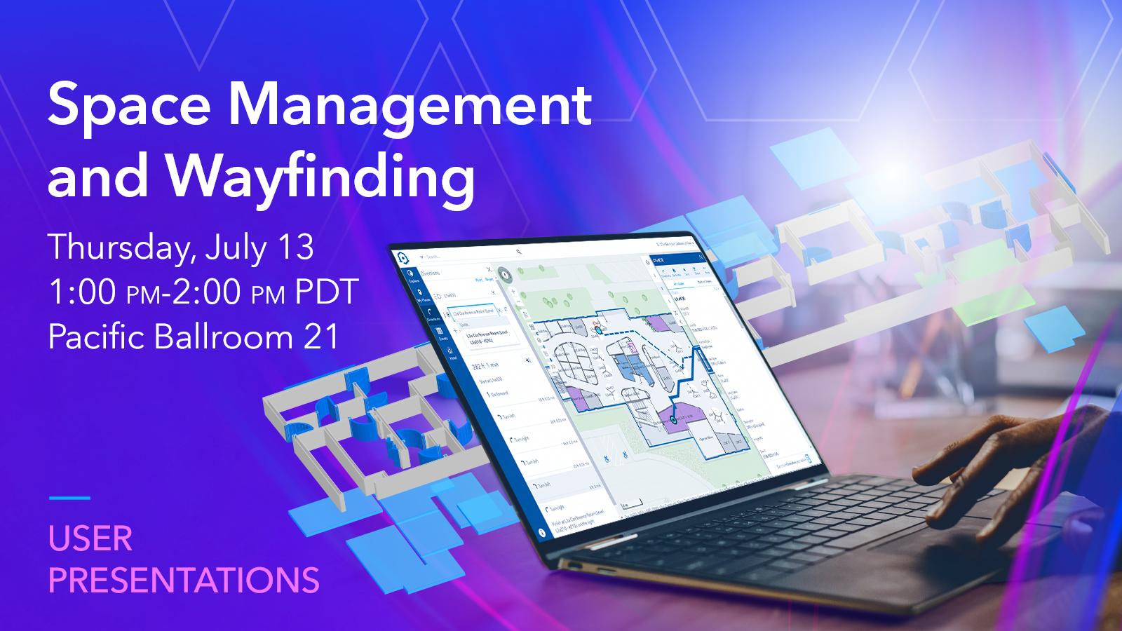
Space Management and Wayfinding
Thursday, Jul 13, 1:00 PM – 2:00 PM
Pacific Ballroom 21
USER PRESENTATION
Presenters will discuss how they are using GIS to support space and wayfinding in their organization. Don’t miss this opportunity to learn how architects are implementing ArcGIS technology to develop solutions.
Listen to our customer Takenaka Co. Talk about how they evaluate office environments with locational and biometric data of occupants and learn from our customer Centralny Port Komunikacyjny Sp. Zoo about their journey to create a digital twin of the biggest transportation hub in Central and Eastern Europe.

Indoor GIS: Mapping Indoor Assets
Thursday, Jul 13, 2:30 PM – 3:15 PM
Expo Demo Theater 1
DEMO THEATER PRESENTATION
Want to map the location of your indoor assets? In this session, you will learn how to use indoor maps created with ArcGIS Indoors with ArcGIS Field Maps to do field data collection indoors.

Indoor GIS: Best Practices
Thursday, Jul 13, 2:30 PM – 3:30 PM
Room 3
TECHNICAL WORKSHOP
Take building floor plans from CAD and BIM and transform them into a Geodatabase information model of your building’s interior to create and share 2D and 3D indoor maps. Learn best practices for the updated data lifecycle between CAD/BIM and your Indoor GIS modeled in the Geodatabase.
Esri Services Appointments: Indoors Data Readiness
When leveraging the geographic approach in your organization’s day-to-day operations, data errors can introduce unacceptable risks and unplanned costs. To ensure our users are well-prepared, we are offering one-on-one appointments with an Esri expert to get insights into the overall health of your data’s quality. This is an excellent opportunity to receive specific feedback and advice from our knowledgeable team.
Are you interested in getting your floorplan data into ArcGIS Indoors? During your appointment, our Indoors subject matter experts can review your CAD floorplan data to check the quality of the file for conversion to the ArcGIS Indoors Information Model. Some of the conditions we look for are standard layer definitions, closed polylines, and proper annotation placement. You can get answers to questions such as, does my CAD file meet minimum requirements to convert immediately or does it require some updating?
Be sure to sign up to secure your spot at the event by choosing “data health check” appointment type and submitting the form. An Esri representative will then reach out with details.

Commenting is not enabled for this article.