It is exciting to start a new hydro project, from floodplain delineation to planning green infrastructure. During the inception phase, it is essential to gather as much information as possible: what is the terrain elevation? where are the local streams and how are they connected? what is the dominant soil type? Layers in ArcGIS Living Atlas of the World facilitate the process of setting up a new project and provide a quick glance of the fundamental local characteristics of the project.
Elevation
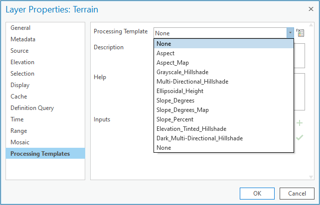
Elevation is cornerstone in any hydro project. Living Atlas provides elevation layers as image services.
- Terrain: dynamic world elevation model.
- Aspect: representation of downslope direction.
- Slope: in degrees: angle of downward inclination.
Note: Each elevation variable is implemented as a server raster function. You can quickly change the displayed variable by selecting a different processing template in the layer’s properties.
Hydrography
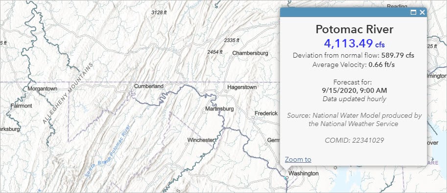
The representation of drainage network features such as rivers, creeks, or canals show how water flows in the landscape. Living Atlas includes USA data from the USGS and Global data from GEOGloWS.
- USA National Hydrography Dataset – High Resolution
- USA National Hydrography Dataset Plus Version 2.1
- USA Watershed Boundary Dataset (WBD)
- GEOGloWS ECMWF Streamflow System (6 Day Forecast)
Discharge Stations, Streamflow Forecast, and Flood Hazard
- Live Stream Gauges: Global streamflow information from our Community Maps Program.
- National Water Model (NWM) data from the NOAA Office of Water Prediction (OWP):
- Short term (hourly forecast)
- Short term (hourly anomaly forecast)
- Medium term (10 day forecast)
- Medium term (10 day anomaly forecast)
- USA Flood Hazard Areas by the Federal Emergency Management Agency (FEMA)
- GEOGloWS ECMWF Streamflow System (6 Day Forecast) global river data
Hydraulic Structures
- National Inventory of Dams: Dams in the United States, Puerto Rico, and Guam by the U.S. Army Corps of Engineers.
Land-Surface Models
Monthly gridded variables from the Global Land Data Assimilation System (GLDAS 2.1).
- GLDAS Precipitation
- GLDAS Evapotranspiration
- GLDAS Soil Moisture
- GLDAS Runoff
- GLDAS Snowpack
- GLDAS Change in Storage
Land Use, Land Cover, and Soils
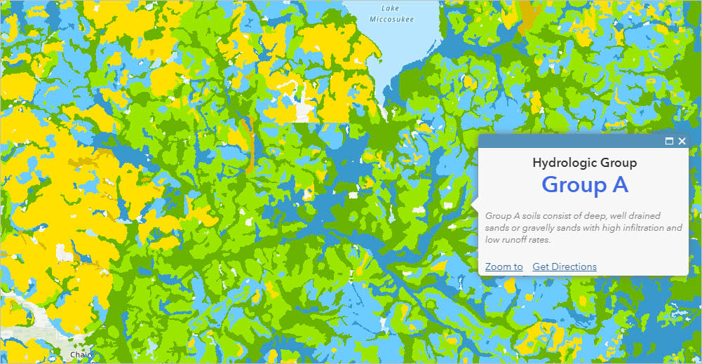
Land cover information from the National Land Cover Database (NLCD) and soil characteristics from the Soil survey Geographic Database (SSURGO).
- USA NLCD Land Cover
- USA NLCD Impervious Surface
- USA Soils Drainage Class
- USA Soils Hydrologic Group
- USA Soils Hydric Class
Weather
Weather data from radar, remote sensing, or in-situ stations and weather warnings from the National Weather Service (NWS).
- Surface Meteorological and Hydrologic Analyses – Quantitative Precipitation Estimates
- Recent Weather Radar Imagery
- Gridded Surface Weather and Marine Weather Forecasts – Multiple Variables
- Near-Real-Time Surface In-Situ Observations
- Active Hurricanes, Cyclones and Typhoons
- Current Weather and Wind Station Data
- USA Weather Watches and Warnings
- USA Short-Term Weather Warnings

Water Quality
Impaired waters by the Environmental Protection Agency (EPA).
Analysis tools in ArcGIS Online
Online tools especially useful for preliminary analysis of a study area.
- Create Watersheds: delineate the catchment area of a point or a set of points.
- Trace Downstream: determine the downstream path of discrete locations.

Basemaps
A basemap is a useful reference and brings context to a map. ArcGIS Online has dozens of basemaps, here is a short list of ones that can be relevant for hydro projects.
- Esri Hydro Reference Overlay
- USGS National Map
- Imagery (WGS84)
- Topographic
- Light Gray Canvas
- OpenStreetMap
Summary
Living Atlas includes a collection of water resources layers suitable for hydro projects. These layers support any stage of your project: from preliminary assessment of a study area to hydraulic modelling. Moreover, project results can be easily shared in ArcGIS Online as hosted layers, web maps, and web apps.
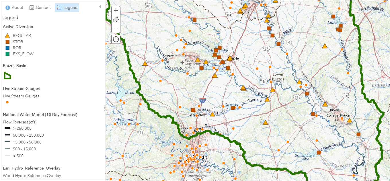
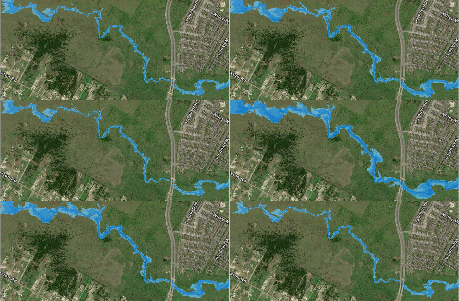
Image by Tim Whiteaker, The University of Texas at Austin, Brazos Water Operations Model
More Information?
Join GeoNet and ask questions to the Living Atlas community of experts.
Article Discussion: