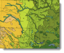
Because we love the colors used on the vegetation map in the The National Atlas of the United States of America, one of our cartographers put together a style with these colors so you can use them on your maps, too. You can download the style from here on Mapping Center’s ArcGIS Resources > Styles page.
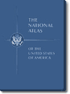
The National Atlas of the United States of America was published by the US Geological Survey (USGS) in 1970 and edited by Arch C. Gerlach (figure 1).

Figure 1. The cover of The National Atlas of the United States of America
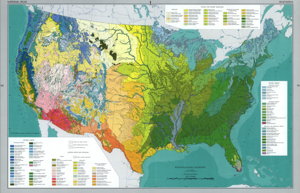
The map of vegetation (figure 2) was compiled by A. W. Kuchler, of the University of Kansas, in 1966.

Figure 2. The vegetation map in the atlas
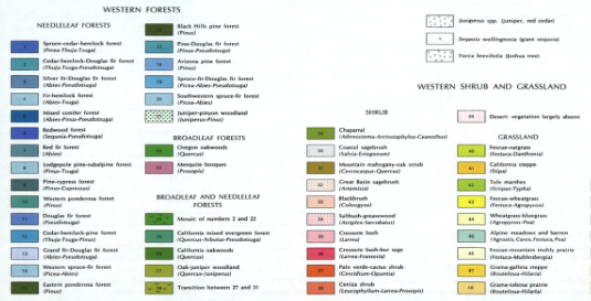
This 1:7,500,000-scale map, in the Albers equal area projection, has 119 vegetation classes for needleleaf, broadleaf, and combined broadleaf/needleleaf forests; shrubs; grasslands; and shrub/grasslands combinations; and grassland/forest combinations. Vegetation areas were symbolized using the colors in this style along with, for some classes, overlaid pattern fills (figure 3).

Figure 3. A portion of the legend showing the colors and pattern fills used to symbolize the vegetation classes
The 1970 edition of the The National Atlas of the United States of America is out of print; however, the Library of Congress (LOC) has digitized (at very high quality and in full color) and republished online the entire contents of the atlas. Follow this link to see the atlas contents and download the images. Click the atlas image at the right of the page, and on the new page that appears, click the atlas image at the left. In the viewer, you will be able to view all the pages in the atlas. The vegetation map is image 69. Note that image 70 is the vegetation map for the state of Alaska.
This atlas is one of more than 4.5 million items held by the Geography and Map Division of the Library of Congress. The LOC combines its content with that of other libraries and archives from around the globe to make over 5 million historical items available online.
Citation:
United States Department of the Interior Geological Survey. 1970. The National Atlas of the United States of America. Washington D.C.: USGS.
Thanks to Michael Dangermond, Cartographic Product Engineer, for his work in compiling this style.
Commenting is not enabled for this article.