Layer packages are an excellent way to combine ArcGIS cartography with data to be shared with ArcGIS Explorer users, but how about using Explorer maps and layers in ArcGIS Desktop? We’re working on an integrated capability that will be delivered in a future release, but in the meanwhile we discovered a couple of solutions recently posted by the ESRI user community on the ArcScripts and Resource Center sites.
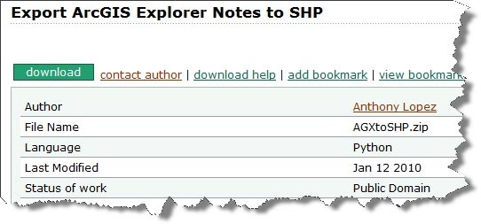
Here’s one contributed by Anthony Lopez via ArcScripts. The description states: This script converts ArcGIS Explorer Notes to a single Shapefile and stores the note title and comments as attributes.
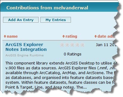
And here’s another by melvanderwal that’s been shared on the .NET community resource center. The description reads: This component library extends ArcGIS Desktop to utilise ArcGIS Explorer v.900 files as data sources. ArcGIS Explorer files (.nmf, .nmc) will be available through ArcCatalog, ArcMap, and ArcScene. The files are displayed as databases, and organised into feature datasets based on coordinate system. Within feature datasets, feature classes can be found representing Point & Target, Line, and Area notes.
Remember that ArcScripts and other community shared solutions are not supported by ESRI, but there’s a lot of useful tools that are available, many of which include the source code so you can add your own tweaks. You can visit the ArcGIS Explorer Gallery to find more, and of course we encourage and welcome other additions from the Explorer user community.


Commenting is not enabled for this article.