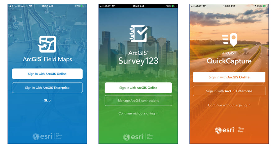
GIS data and maps can be accessed outside the office to support many different field operations. Field personnel can work with the same authoritative datasets on their mobile devices, helping collect new data (or edit existing data) that can be shared back to the office and monitored in real-time by dispatchers and managers. Recordings of the technical workshops from the Esri 2021 Developer Summit are now available online.

ArcGIS Field Maps
Introduction to ArcGIS Field Maps
ArcGIS Field Maps is a new mobile app that brings together map viewing, data collection, asset inspection, and location tracking workflows into one application. Join this session to learn the basics of how Field Maps can improve your field workflows. The team will discuss what’s on the horizon for Field Maps and answer your questions.
ArcGIS Field Maps: Taking Your Maps Offline
ArcGIS Field Maps can work in both connected and disconnected environments. In this session, we will discuss various ways you can take your work offline. Join us to learn tips, tricks, and best practices for taking data offline and ensuring mobile staff always have access to the maps and data they need.
ArcGIS Field Maps: Markup and Map Viewing
ArcGIS Field Maps provides simple map viewing capabilities that allow your field workforce to take fully interactive, searchable reference maps with them – wherever they go, even when disconnected. Field Maps also allows users to take notes on their maps and share them from the field. Learn how to create interactive, non-editable maps and deploy them to your mobile workforce. We will also show how to create and share markup from the mobile app.
ArcGIS Field Maps: Creating and Using Smart Forms
ArcGIS smart forms improve the way that you collect and update data in the field. Using the ArcGIS Field Maps web application, you can organization fields into groups, qualify input types, mark fields as required or read-only, and set conditional visibility using the Arcade expression language. In this session, you will learn how to get started with ArcGIS smart forms.
ArcGIS Field Maps: Enabling Inspection Workflows
ArcGIS Field Maps extends the capabilities of ArcGIS to the field and supports inspection and maintenance workflows within your organization. In this session, you’ll learn how to create smart forms, leverage relationship classes and varying transaction models to bring inspections to life with ArcGIS.
ArcGIS Field Maps: Enabling Asset Collection Workflows
ArcGIS Field Maps enables your mobile workforce to capture data in the field using maps. With support for external GPS receivers, ArcGIS Field Maps can improve the accuracy as well as the currency of the data you manage in ArcGIS. In this session, we will discuss how to get started with data collection workflows, how to leverage high-accuracy GPS receivers, and discover how capabilities in ArcGIS Field Maps can be used for rapid and accurate data capture.
Using Arcade with ArcGIS Field Apps
Arcade is a flexible expression language for ArcGIS that lets you style and visualize your data across the ArcGIS platform. Arcade expressions allow you to break free of your data model and derive new information from your data on the fly, whether that’s visualizing new attributes through the popup, applying conditional visibility on your forms, labeling your features, or visualizing them on the map. Learn how you can leverage Arcade within the ArcGIS Field Maps to take your mobile maps to the next level.
ArcGIS Field Maps: Location Tracking Basics
ArcGIS Field Maps enables organizations to monitor the last known locations of field staff, capture historical tracks of mobile workers, and analyze patterns of where they have been. Field Maps utilizes the location tracking service to provide highly performant, scalable results. Learn how to enable the location tracking service within your organization as well as review privacy and security details your CIO will want to know. Join us to see how the location tracking capability can be used to enhance operational efficiency.
ArcGIS Field Apps: Working with Mobile Device Management Systems
MDM technology, or Mobile Device Management software, is used by many organizations today to manage their mobile devices. Many Esri apps integrate with MDMs, and in this session we will be taking a vendor agnostic approach to exploring the different ways MDMs can be configured to explicitly deploy and configure Esri’s apps for the field like Field Maps, Navigator, and Workforce.
Automating Workflows for Field Data Collection
Using the ArcGIS API for Python, you can automate field-to-office workflows. The Python API includes support for ArcGIS apps and in this session, you will learn how you can use Python and other 3rd party tools to integrate business workflows, automate common deployment workflows, and simplify repetitive deployment tasks.
ArcGIS Survey123
What’s New in ArcGIS Survey123
Learn what is new in ArcGIS Survey123 and what is coming next.
Advanced XLSForm Techniques
Join this session to learn how to build Survey123 smart forms like a Ninja, using XLSForms and Survey123 Connect.
Extending ArcGIS Survey123
Join this session to learn how you can extend the Survey123 field app through add-ins. We will also explore how to embed, style, and interact with online surveys within your own web applications using the Survey123 web app API.
Understanding the ArcGIS Survey123 REST API
Join this session to learn how you can leverage your Python skills to manage surveys and generate reports using the REST API.
ArcGIS QuickCapture
What’s New in ArcGIS QuickCapture
Learn what is new in ArcGIS QuickCapture and what is coming next.
Article Discussion: