The much awaited 2021 Esri Developer Summit (DevSummit) is finally here! It’s our opportunity to share what we’ve been working on, with developers worldwide and enable them to take their work to the next level. You will see demonstrations of the latest technology and capabilities in ArcGIS in the Plenary, as well as live and on-demand technical sessions. This year, the conference is completely virtual, and while we’ll all miss sunny Palm Springs, you need not miss out on any of the rich content that we’ve put together for you!
What has us most excited this year, is the opportunity to show you the leaps Esri has made in the area of Geospatial AI. There’s just so much, that we couldn’t pack it all into a single technical session! In addition to the Geospatial AI capabilities that are being highlighted today at the Plenary, we have put together a number of sessions on the topic to ensure everyone walks away with valuable information. These sessions cover deep learning on multiple data types and cater to a wide variety of personas ranging from Data Scientists to Developers to GIS Analysts.
The live sessions give you the opportunity to directly ask questions to the presenters. The on-demand sessions can be watched at your own pace, and if you have any questions, bring them to the Ask Our Experts area and hear directly from the developers of these capabilities! The following links to the sessions will only work if you’re registered for the conference but will be updated once they become available for everyone.
Deep Dive into Deep Learning
Whether you are new to deep learning or already a deep learning ninja, you are sure to enjoy this demo packed tour of what’s possible with geospatial deep learning in ArcGIS. This session will take you through a journey of the tools in ArcGIS Pro via demos, talk through scenarios for scaling your processing using ArcGIS Image Server, introduce you to the ArcGIS API for Python via scenario-based demos, and finally, cover access points of the deep learning tools in ArcGIS. This will be your one-stop-shop to understand where deep learning fits in ArcGIS.
Deep Learning with Imagery and 3D Data
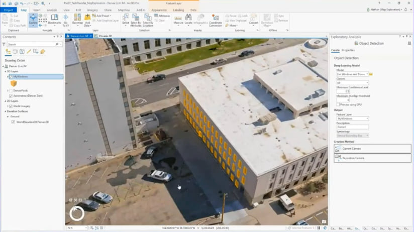
Deep learning has done exceedingly well at computer vision. This is particularly useful for GIS applications because satellite, aerial, and drone imagery is collected at a rate that makes it impossible to analyze using traditional methods. In this demo rich live session, learn about the extensive support for imagery and 3D data in the arcgis.learn module of ArcGIS API for Python. We will show how you can perform object classification & detection, pixel classification, edge detection, image translation, captioning, change detection, road extraction from imagery and point cloud data.
Deep Learning with Unstructured Text
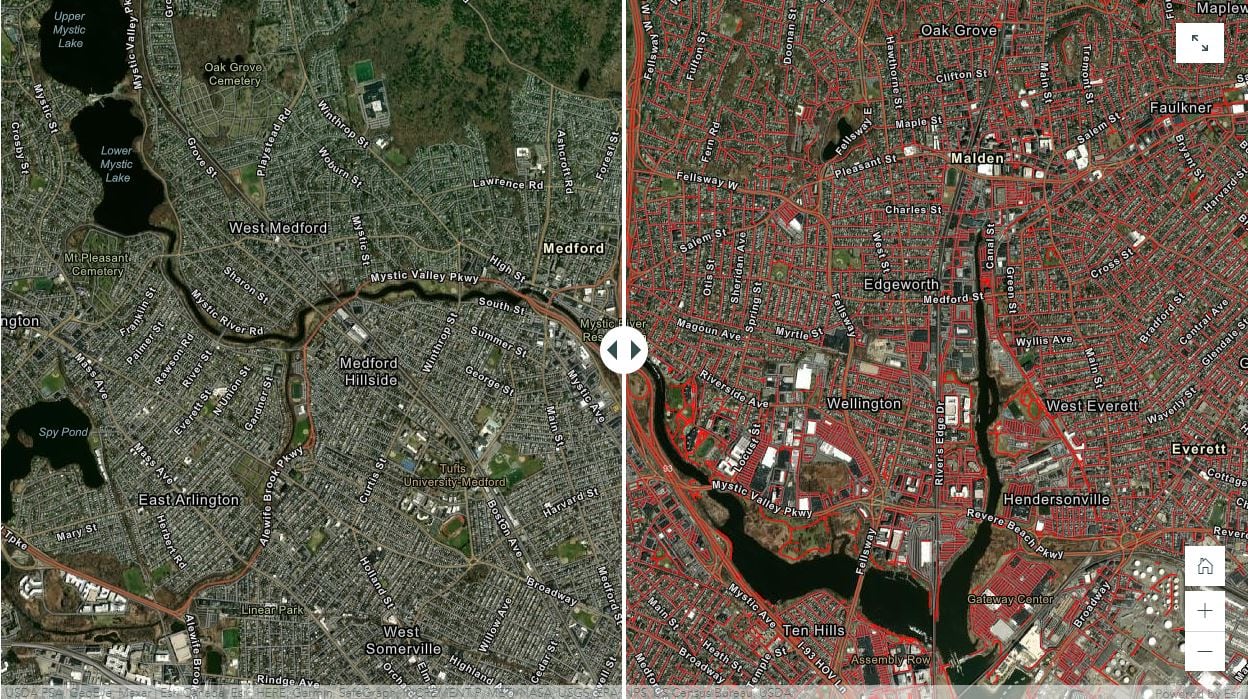
Spatial data is often hidden away in unstructured formats, such as text-based reports. Natural language processing (NLP) is a field of Machine Learning that allows to extract this information from such data. In this on-demand session, learn how GIS and NLP come together through the newly added arcgis.learn.text module in ArcGIS API for Python. We will demonstrate how named entity recognition models can be used and how incomplete and malformed street addresses can be corrected, regularized, and completed using sequence to sequence and text classification models.
Deep Learning with Feature, Tabular, and Time Series Data
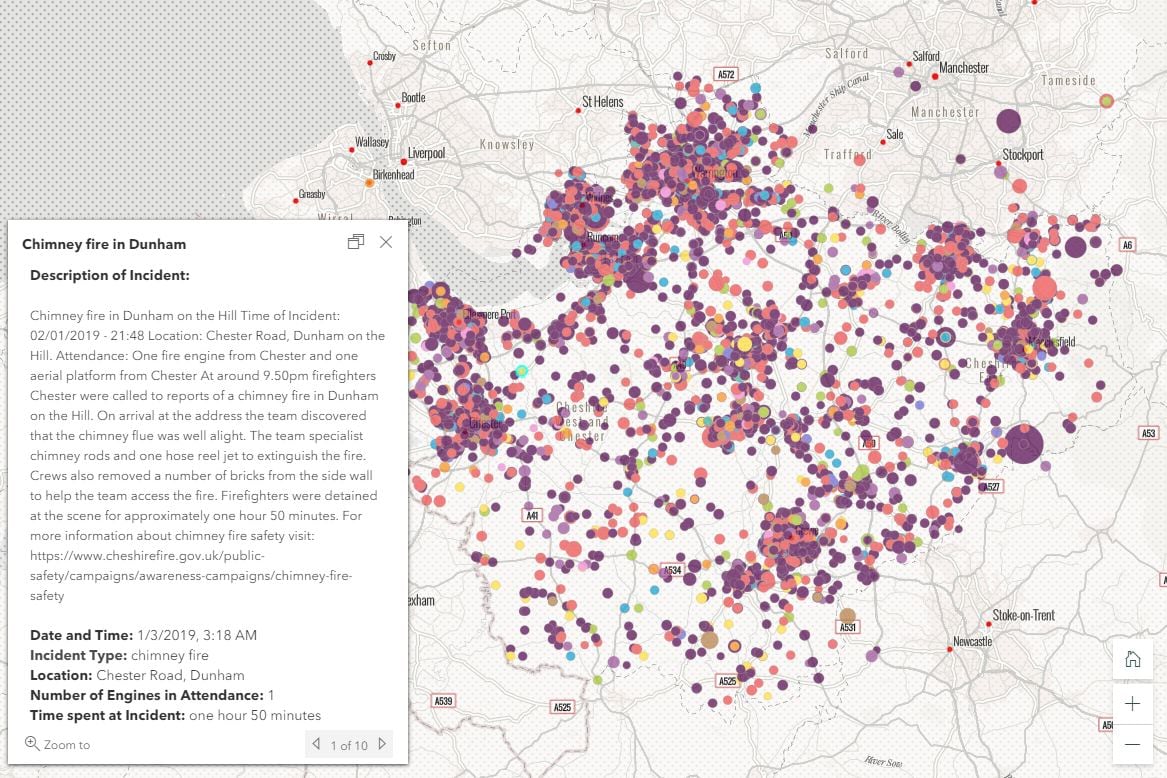
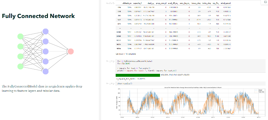
Deep neural networks work just as well on feature, tabular and time series data, as they do on imagery and unstructured text. These models can classify areas susceptible to a disease based on bioclimatic factors or predict the efficiency of solar power plants based on weather factors. In this on-demand session, you will learn how you can integrate ArcGIS with dozens of machine learning models from scikit-learn, as well as, use deep learning models to make predictions. You will also learn about arcgis.learn’s deep learning based TimeSeriesNetwork to predict retail sales based on historical data.
So You’ve Trained a Deep Learning Model – Now What? (The Dev Edition)
With the arcgis.learn module in the Python API, it’s possible to create a variety of Deep Learning models to perform a number of tasks ranging from object detection to creating super resolution imagery. In this session, Maartje and Mark from Esri Nederland aren’t going to show you how to train such a model, but what to do once you’ve trained one, using Esri developer tools. In this session, you can learn how to integrate Deep Learning models in the scripts you run day to day, automate the use of trained models, or automatically apply these models on new datasets.
AppStudio and TensorFlow Lite: Machine Learning on Edge Devices
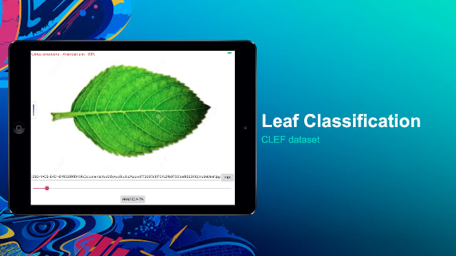
ArcGIS AppStudio now includes the TensorFlow Lite deep learning framework so you can create mobile apps capable of running machine learning models. This demo theater session will give an overview of creating machine learning models capable of running on mobile devices and how to deploy the models to an AppStudio app.
Real-Time Analytics from Video and Image Data Using Deep Learning
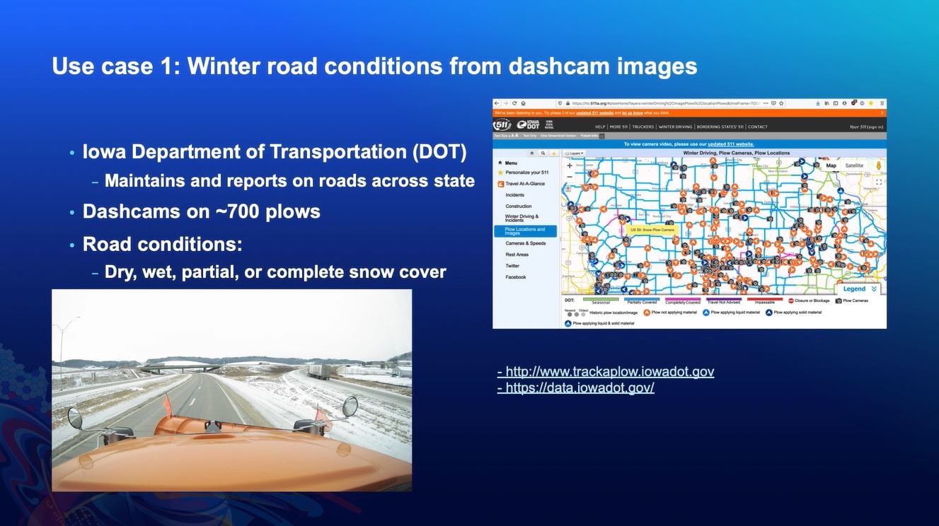
For those who wish to apply deep learning to both streaming and static imagery, don’t miss this demo theater session that provides an in-depth technical overview of how this works. You will leave with an understanding of the requirements for integrating deep learning to perform real-time analytics on video and street-level imagery.
In addition to these sessions where deep learning is the core focus, there are several others where AI, machine learning and deep learning are being covered as part of other broad topics. To know more about them, head over to the online agenda and pick the sessions that pique your interest. Let us know how you feel about the sessions and what to add next year by filling in the session surveys! Feel free to stop by the Python API as well as the Spatial Analysis and Data Science channels of the Ask Our Experts area if you have any questions!

Article Discussion: