So I was making a series of maps to use in a bonkers new Story Map to continue my (apparently) annual contribution to the Geopolitical Curiosities serial (pt 1 | pt 2) and, as often happens to me, I fell down a cartographic rabbit hole…of delights. Life is what happens when you’re busy making other plans. I think a singer in a small musical ensemble from Liverpool said that once.
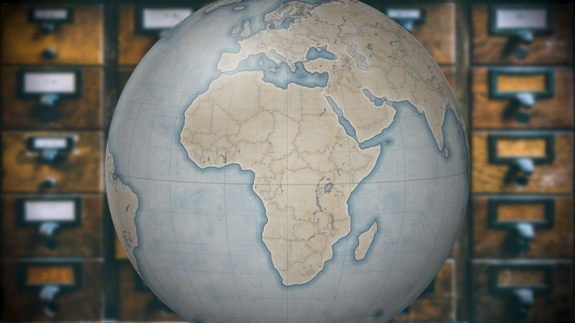
This globe is completely fake:
I thought, wouldn’t it be cool if the story’s maps started out in the hand-drawn style, then faded into a (plausibly) realistic globe? I liked the results, which were both fun, and made me want to reach out and touch the map. Like I’ve said, if a map invites an urge to reach out and touch it, then you might have something special.
Speaking of reaching out and touching, this tutorial is also available as a Cascade story map, flush with much larger pictures. The choice is yours.
Images to Steal
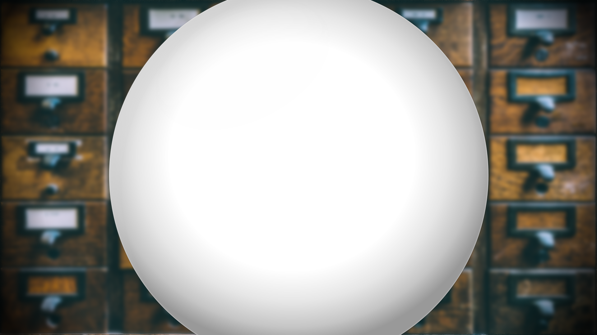
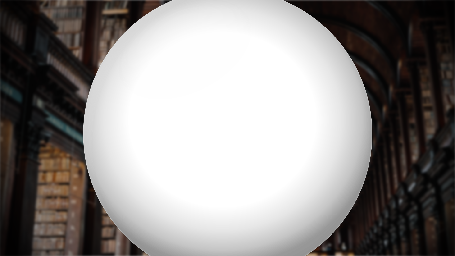
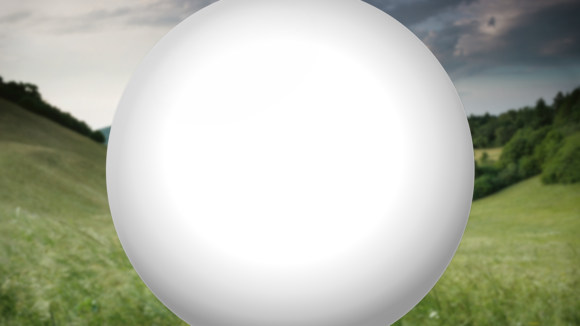
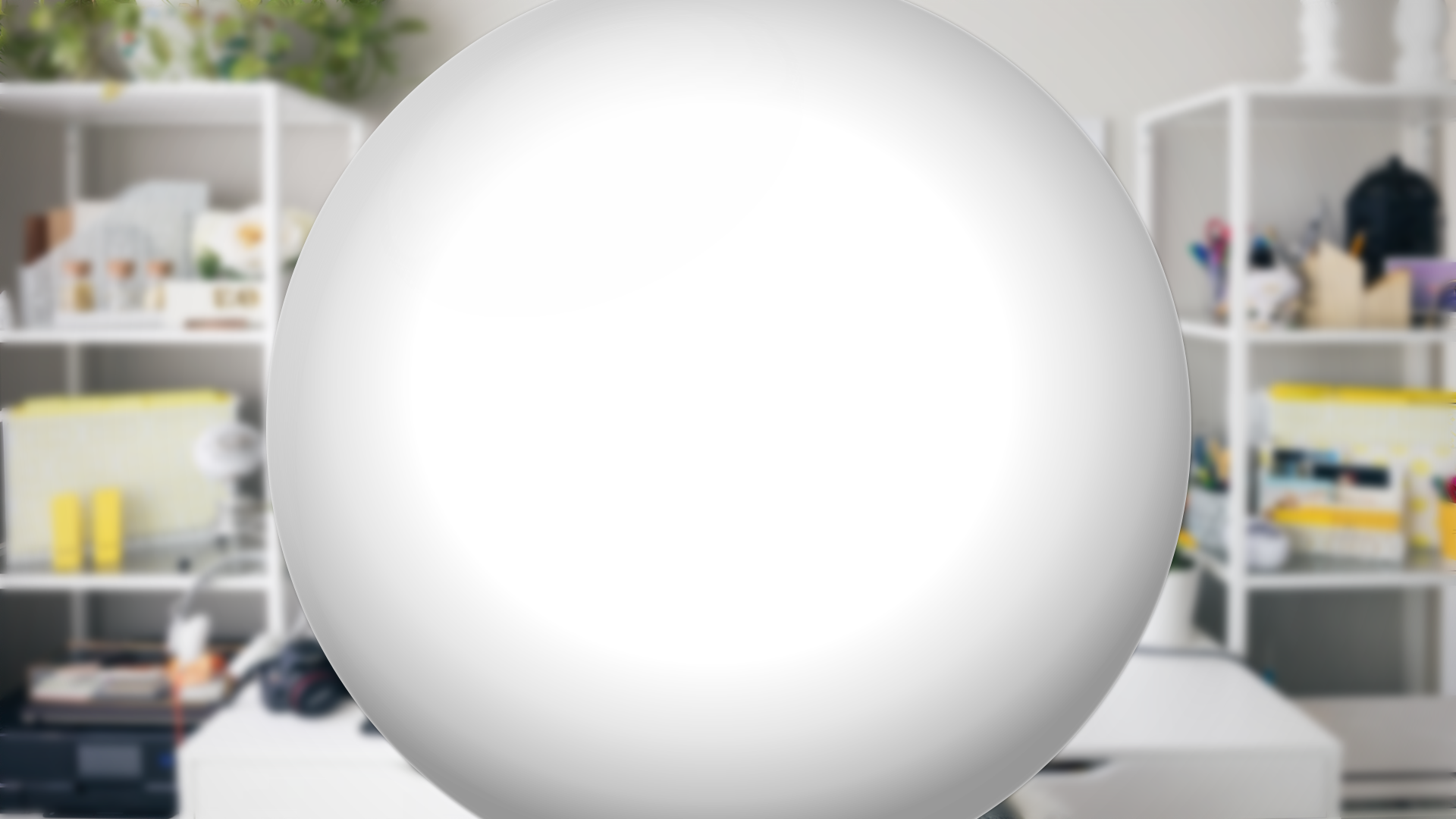
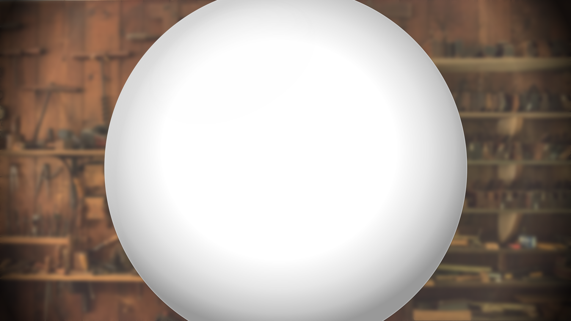
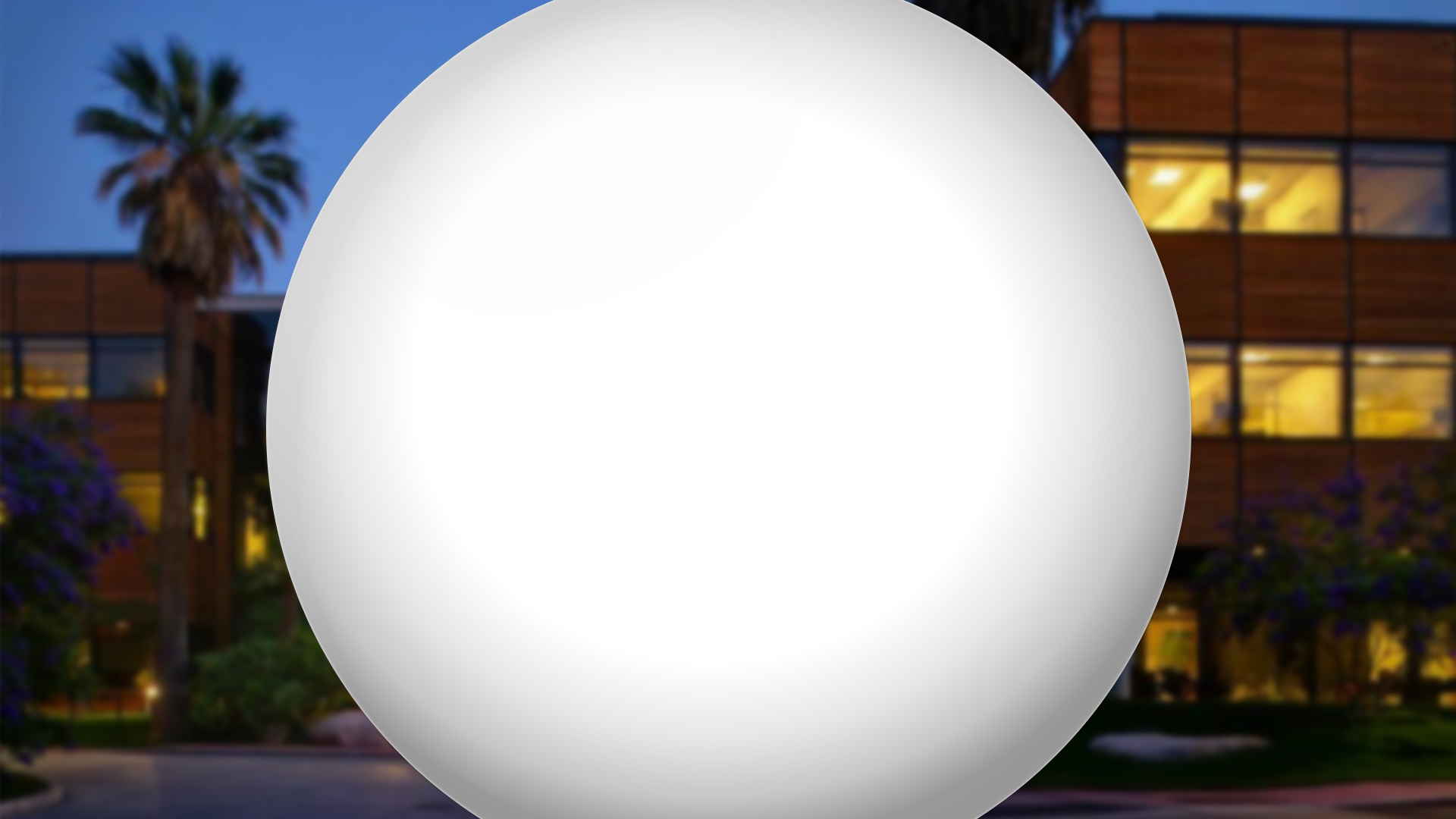
So I quickly cobbled together in Adobe Creative Cloud a handful of images, with suspiciously earth-shaped holes punched out of them, that you all can drop into your ArcGIS Pro layout on top of your 3D Scene, or 2D map (2D map with a “The World From Space” projection, anyway). The result is a surprisingly effective globe-ification. So, please steal them (right/ctrl click, and save) and line them up over your own round maps. But remember, with great globe-ifying powers comes great globe-ifying responsibility.
Globe-ifying
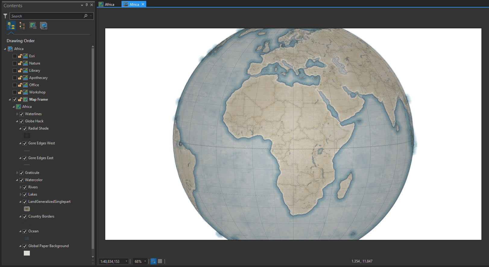
Here’s how to do it. It’s mega easy. In a Pro layout, arrange your map just so…
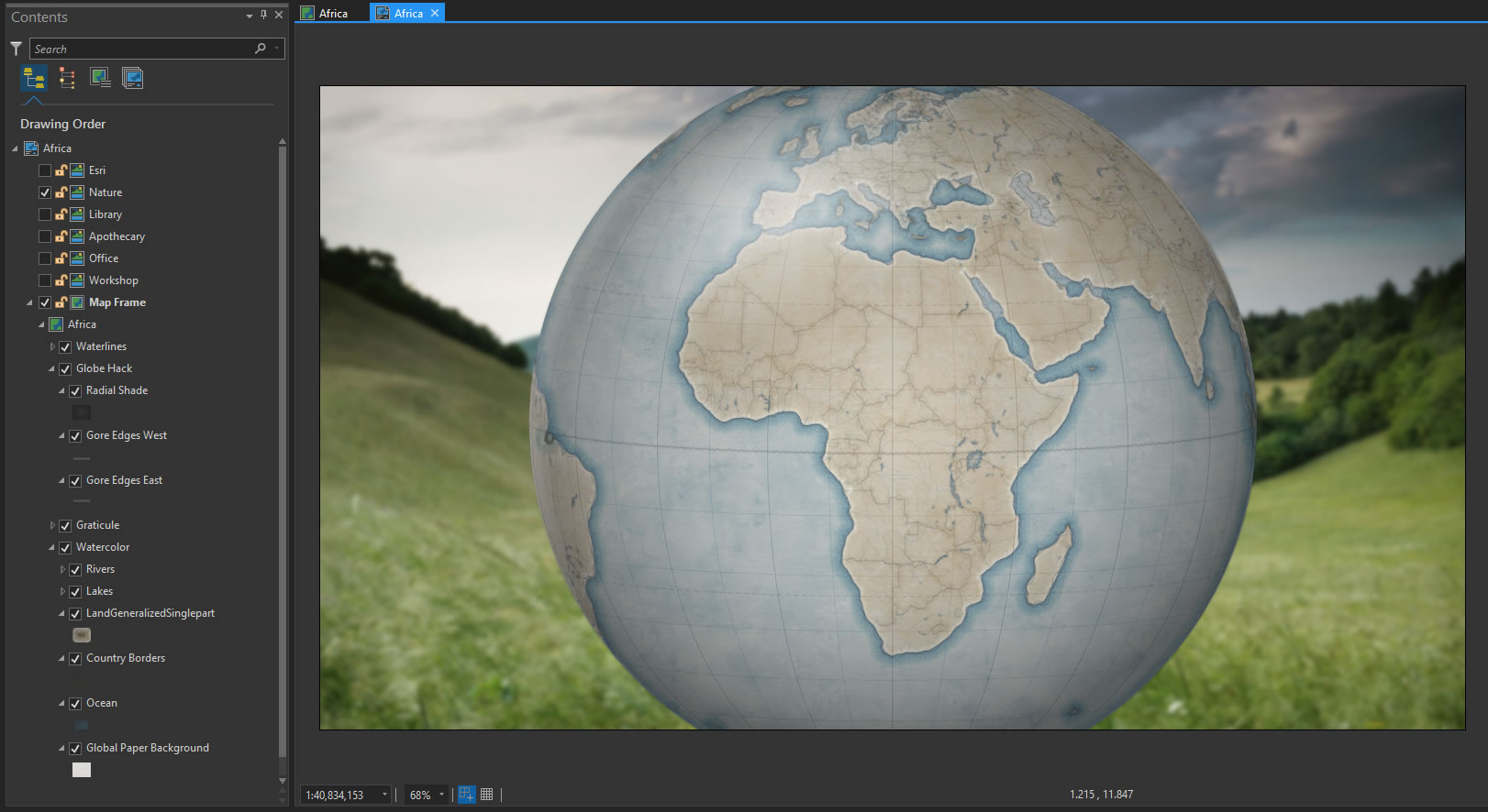
Then insert one of these mischievous globe-ifying images at the top of the layout…
And you’re done! Export your image and take a bow.
How to Make a Plausibly Realistic Globe-Looking Map
A lot of the work went into creating a map that looked reasonable passable as a physical thing. Let’s get one thing straight, right off the bat. If you are looking for inspiration when creating a globe-ish map, I recommend you go straight to Bellerby Globes and check out their artistry. I took inspiration from their Albion series in Prussian Blue.
Consider the following hacks…
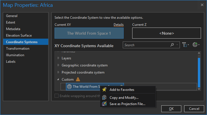
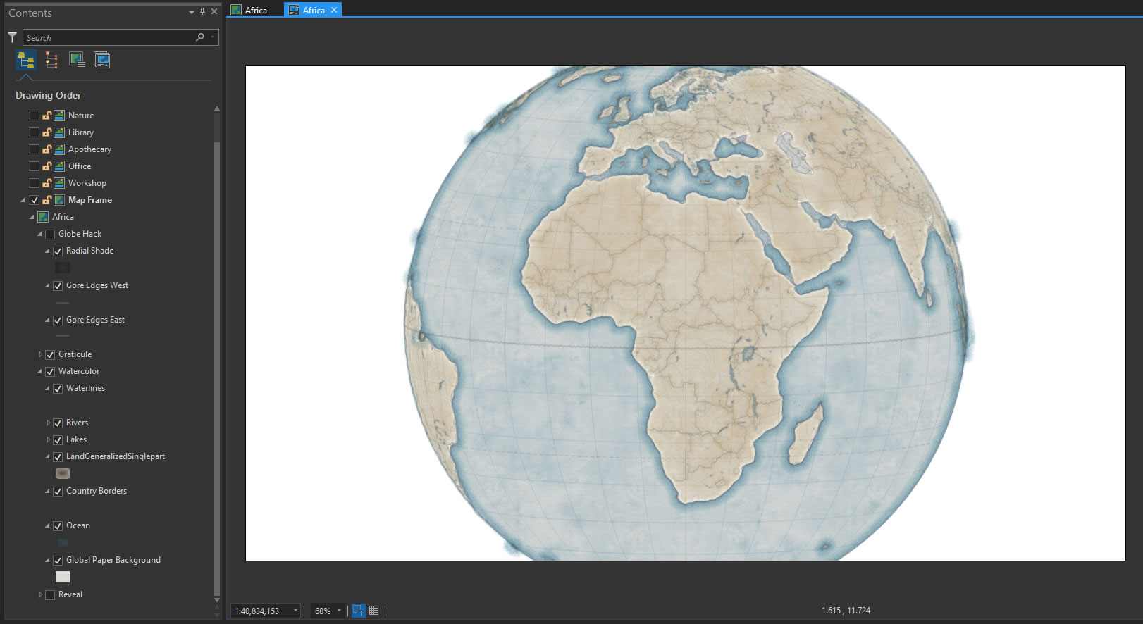
Projection. I used The World From Space projection, which is a pseudo-perspective projection that replicates what the world looks like from…oh, well, you get it. I modified the projection to be centered over the continent of Africa, for the purposes of the story map I’m working on. Or you could just use a 3D Scene.
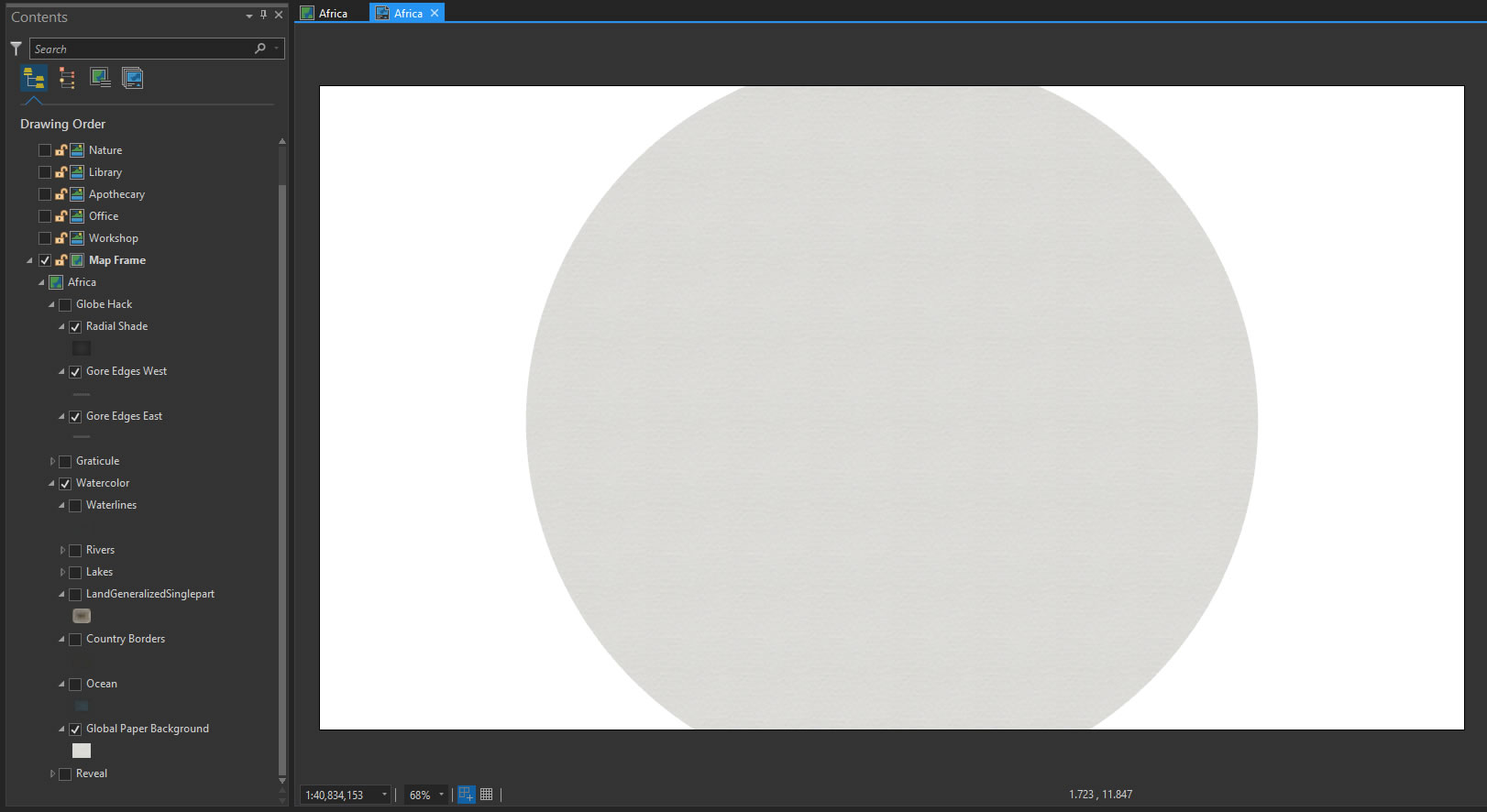
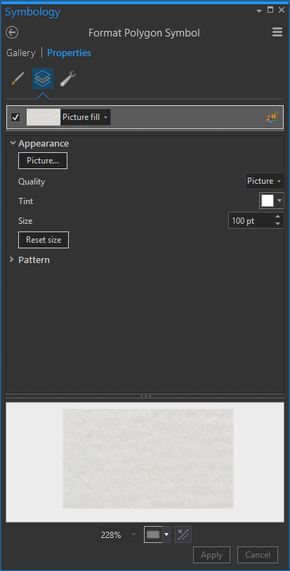
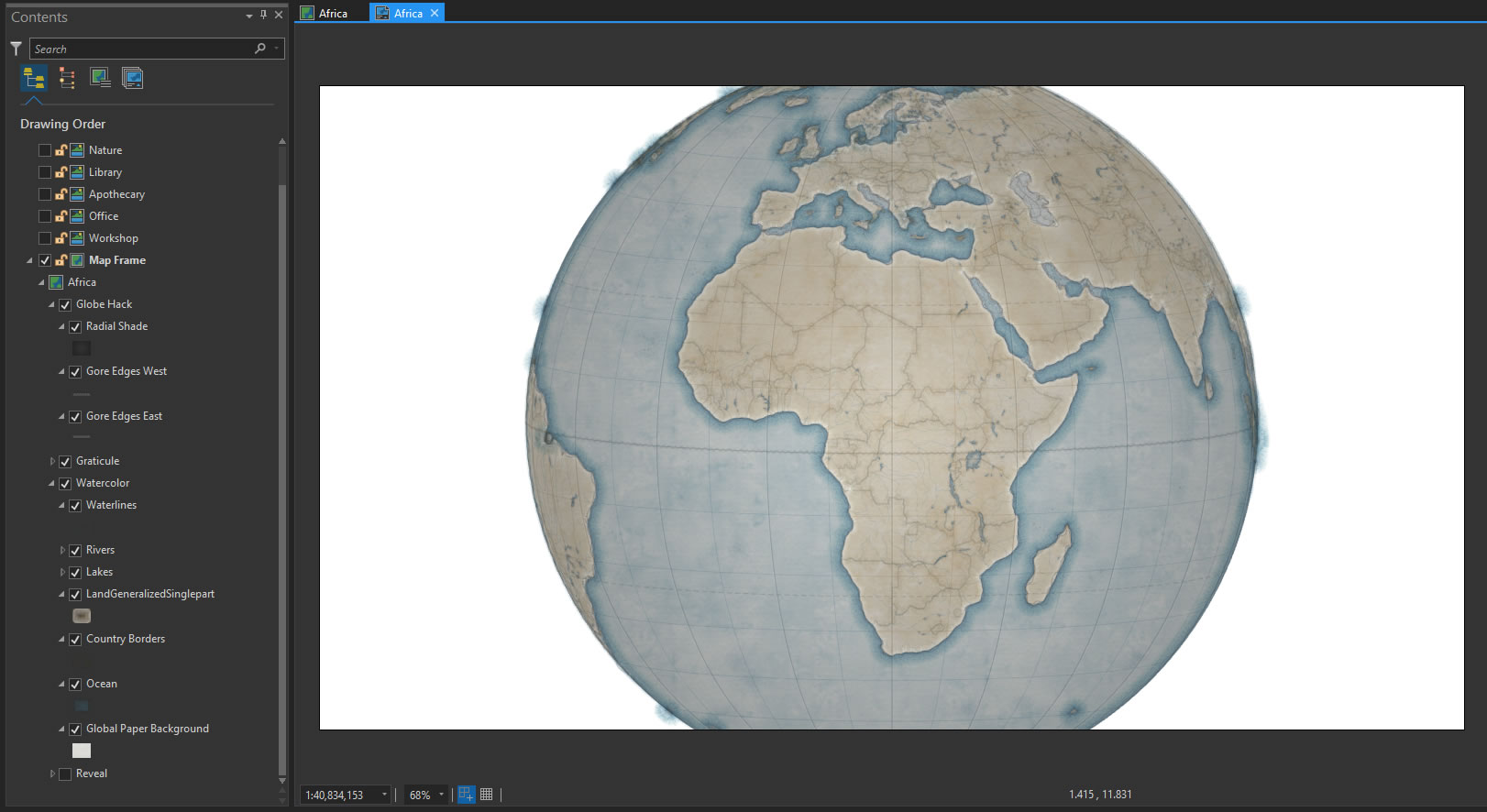
Surface. I draped the earth (I have an oft-used shapefile of a single polygon that covers the earth) in a watercolor paper texture. The polygon fill is a photo I snapped of my watercolor paper pad. Find all the assets, and the process, at this post about creating watercolor maps.
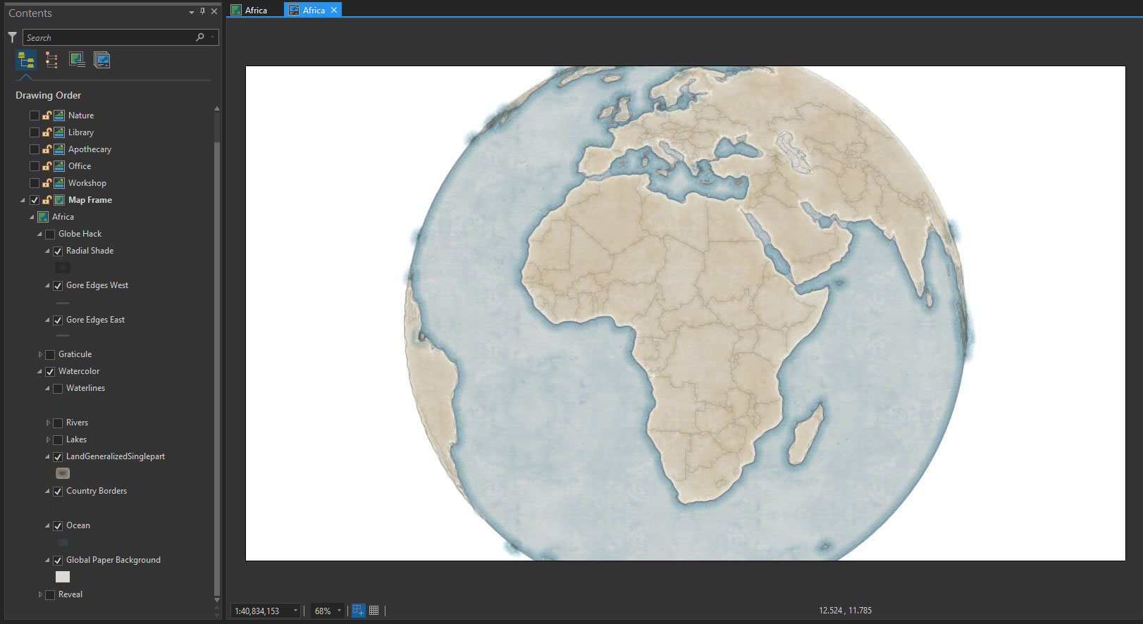
Watercolor. As I said, I took my inspiration from the Bellerby globe. I sampled their ocean and land colors and applied those tints to my trusty watercolor fill texture, available in the aforementioned post.
Graticule. Latitude and Longitude grid lines are a handy visual component for cartographers, for lots of reasons. Here is the map with those lovely parallels added in…
Looks pretty flat though. Neat, but not very convincing.
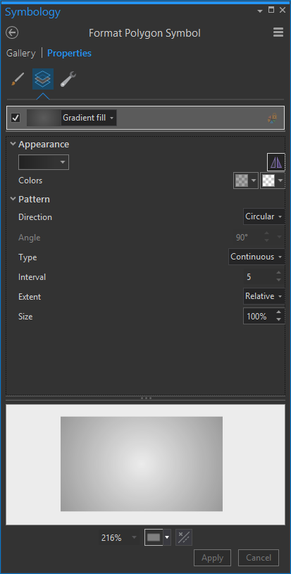
3D-ishness. There are two more layers that add to the fully-faked reality of this map-globe monster. I made a copy of my earth-covering polygon and gave it a radial fill of semi-transparent black at the edges.
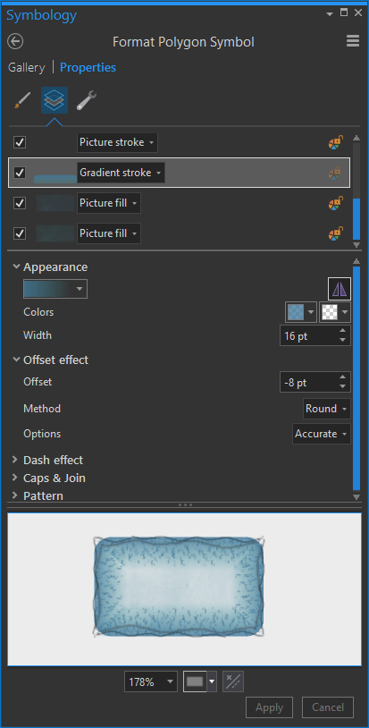
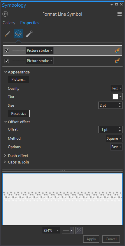
Ok, I’m particularly proud of this next stunt. Every globe, pretty much, is comprised of rounded triangles called gores that wrap up into a sphere. Try as they might, globe makers can never fully erase these seems if you look closely enough. But I like that. It belies something hand-made and wonderful. So I used a definition query to reduce a layer of longitude lines to only every 20 degrees. Then I gave the line a dual stroke. One side is faint white and one side is faint black. I did this for western hemisphere lines and reversed it for eastern hemisphere lines. Together they conspire to replicate the thin paper fault line and lip at the border of the gores.
All together they help sell the roundines/paperiness…
And that’s the end of that chapter. Prepare yourself mentally, and emotionally, for all sorts of globe-ifying fun.
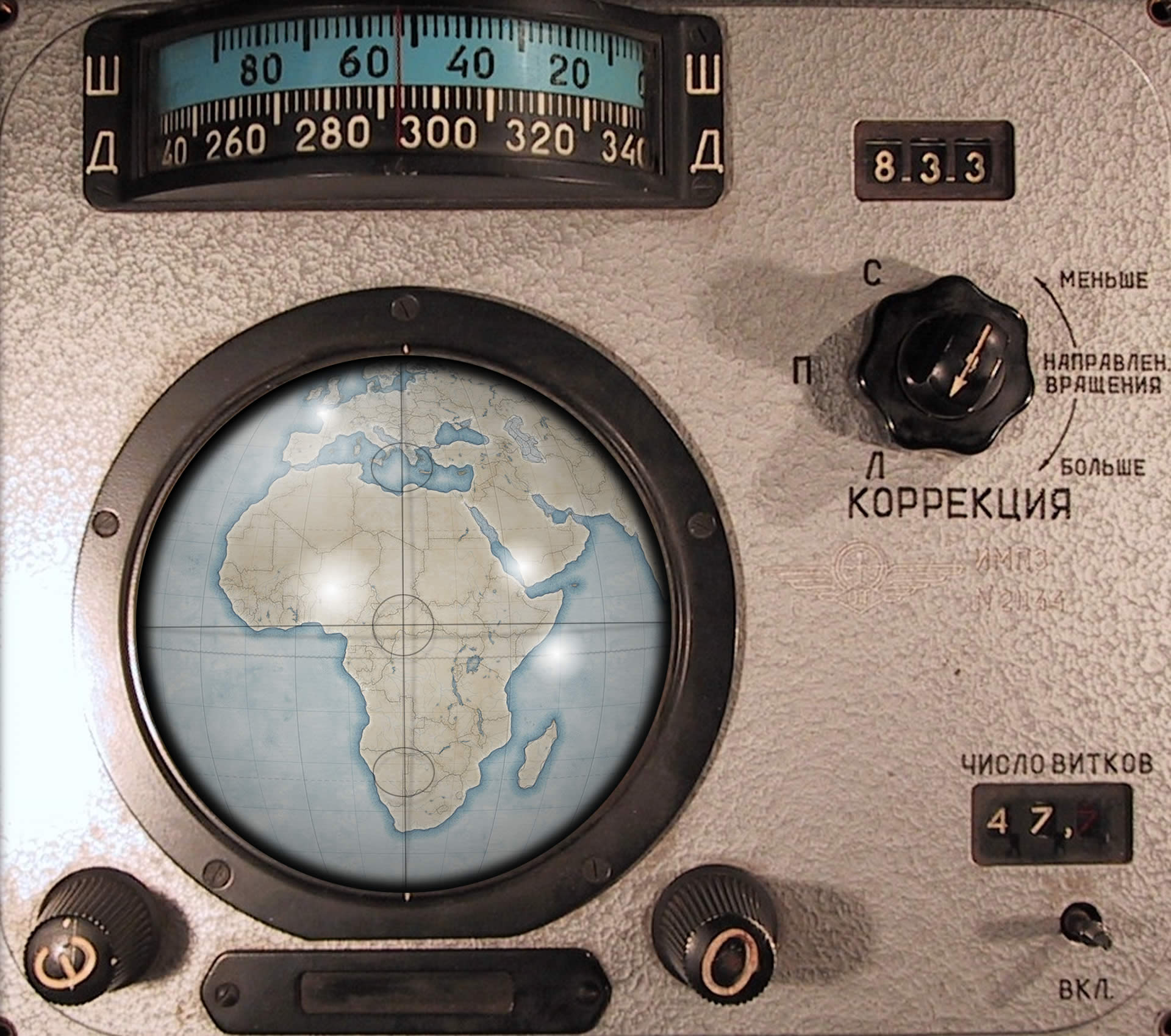
Try on for size this soviet-era Globus IMP Voskhod spacecraft navigation instrument, for instance…
Thanks for following along! I hope you try it out, and share with everyone here in the comments, or on Twitter or Instagram, the various fake globes you devious rascals make.
Here are some shout-outs to the photographers who contributed to these globe-ifying backgrounds…
- Apothecary
- Library
- Office
- Workshop
- Nature
- Esri HQ
- Globus (ok fine, here is the overlay of the Globus if you want to try it)
Happy Globe-ifying! John


Commenting is not enabled for this article.