In ArcGIS Online you can create interactive scenes using the Scene Viewer. A scene is symbolized 3D geospatial content that includes a multiscale basemap, a collection of 2D and 3D layers, and configurations that allow you to visualize and analyze geographic information in an interactive 3D environment.
When using the Scene Viewer, a complete set of tools is available to select basemaps, control the environment, toggle layers, search, and if logged in, edit and modify the scene. The Scene Viewer also includes UI options to navigate within your organization.
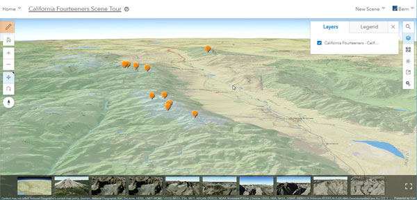
This example shows a scene using the full user interface:
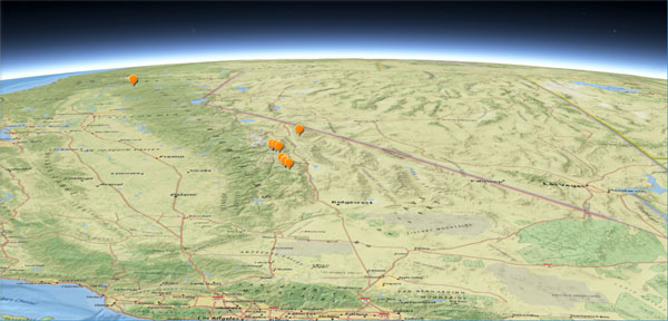
If you want to share a scene using the Scene Viewer, but want to eliminate unneeded tools and menus, add &ui=min to the scene viewer URL. This will hide all but the map and slide navigation tools.
For example, the URL below opens a scene with the default Scene Viewer interface:
http://www.arcgis.com/home/webscene/viewer.html?webscene=3e0a9746178e43688875720f9a9fa4c3
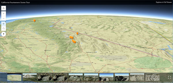
The URL below opens the scene with a minimal user interface:
http://www.arcgis.com/home/webscene/viewer.html?webscene=3e0a9746178e43688875720f9a9fa4c3&ui=min
When you mouse over the scene, additional UI elements will appear, such as the slide gallery and basic navigation tools.
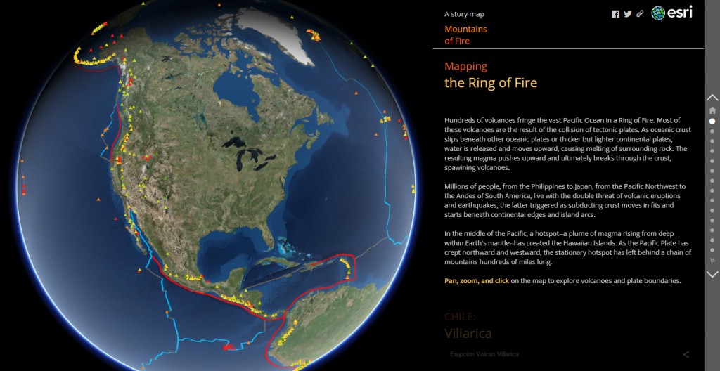
The minimized UI is useful when embedding scenes in web pages, or when using scene URLs in story maps, like the Story Map Journal shown below.
For more information see Get started with scenes and Story Map Journal overview.
This post was originally published on July 29, 2017, and has been udpated.


Article Discussion: