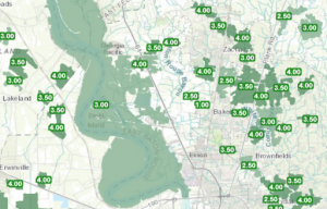
Interested in learning more about GeoPlanner? Interested in green infrastructure planning in GeoPlanner? Esri Training recently released a new course that will introduce you to green infrastructure concepts and how to use GeoPlanner’s analysis tools to discover patterns and phenomena in data.
Exploring the Green Infrastructure in Your Study Area
The course is the first of three and is exploratory. You’ll learn how to create a new GeoPlanner project, use the GeoEnrichment service to add demographic information to a layer, and visualize that layer in 3D to gain a different perspective of risk. You’ll also execute the Create Buffers and Find Existing Locations tools to generate layers that model an impact and flood zone area.
Performing analysis to reveal risk or using visualization techniques like 3D and classification to change your perspective are concepts you can use in any GeoPlanner project.
This course is free to anyone with an Esri account. Learn more about Esri accounts here.
You’ll also need a level 2 publisher account on ArcGIS Online with a GeoPlanner license. If you don’t have these, don’t worry! Sign up for the free trial by following these instructions. Click on the Don’t have an ArcGIS Online subscription link.

Article Discussion: