Mark Gilbert
Connect:

Mark is a Senior GIS Engineer on the Living Atlas Environment team in Redlands, CA. He currently supports projects related to global climate projections and local climate resilience planning and mitigation using online data. He relies heavily on Python and Jupyter Notebooks to process raster datasets in his daily work. Previous experience in aerospace engineering and information technology helps him improve and automate global data processing workflows. Feel free to contact Mark at mgilbert@esri.com with questions or comments.

Posts by this author
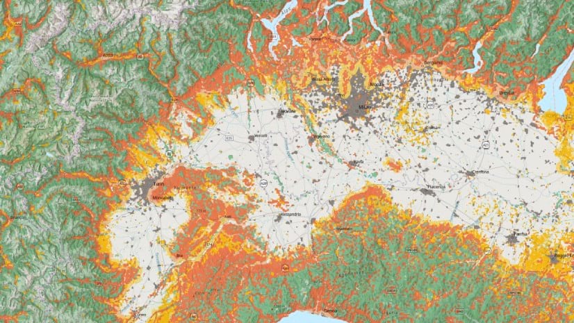
How Wild is the Land?

The Wildland-Urban Interface (WUI) is the area where urban development occurs near wildland vegetation.

Continue Reading

Tools for Building Community Climate Resilience

Announcing 18 new ready-to-use layers to help you build a climate resilient community.

Continue Reading

Build a Heat Risk Index for Local Climate Planning: Part 3 of 3

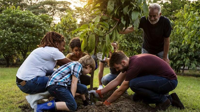
Develop a heat risk index to prioritize areas that would benefit most from tree planting to mitigate against urban heat islands.

Continue Reading

Build a Heat Risk Index for Local Climate Planning: Part 2 of 3

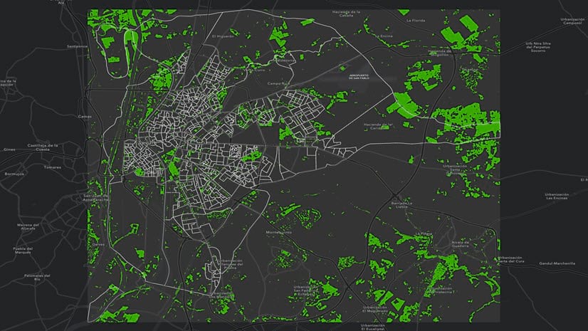
Develop a heat risk index to prioritize areas that would benefit most from tree planting to mitigate against urban heat islands.

Continue Reading

Build A Heat Risk Index for Local Climate Planning: Part 1 of 3

Develop a heat risk index to prioritize areas that would benefit most from tree planting to mitigate against urban heat islands.

Continue Reading