Margaret Crawford
Connect:

Margaret is a Product Engineer on the Geoprocessing team. Her passion for GIS began with her interest in human-environmental relationships, and her graduate studies utilized spatial analysis to study the growing impact of flood-induced cascading disasters caused by sea level rise. Margaret leverages her foundation in research methodologies and spatial analysis techniques in her role at Esri, where she creates written content and demonstrations on technical concepts and functions in ArcGIS Pro. She also contributes to refining and redesigning geoprocessing tools and functions with additional capabilities and improved usability. In her personal life, Margaret is a loving cat parent to three cats, and enjoys swimming and snowboarding.
Posts by this author
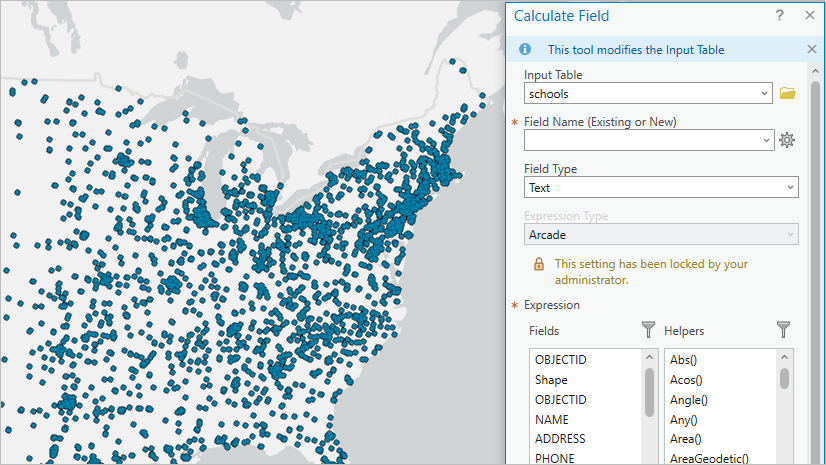
Boost your Productivity with Tool Parameter Overrides in ArcGIS Pro 3.3

Prefer using a different expression language for field calculations? Learn how to change parameter defaults for geoprocessing tools.

Continue Reading

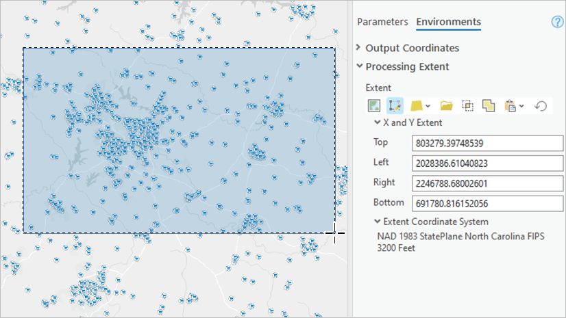
Setting a Geoprocessing Extent Just Got Better in ArcGIS Pro 3.3

Draw an extent on your map and more new options for the Geoprocessing Extent control in ArcGIS Pro 3.3!

Continue Reading

AI-Enhanced User Experiences in ArcGIS Pro 3.3

Learn about the new AI-enhanced user experiences for geoprocessing in ArcGIS Pro 3.3, including semantic search and tool suggestions.

Continue Reading

Geoprocessing enhancements in ArcGIS Pro 3.2 for ArcMap users

Check out this blog to catch up on some enhancements in ArcGIS Pro 3.2 that make it more equivalent with ArcMap.

Continue Reading

Geoprocessing UIUX Enhancements that will boost your productivity in ArcGIS Pro 3.2

Check out this blog to see how we enhanced several geoprocessing controls with additional features and new designs in ArcGIS Pro 3.2.

Continue Reading

Big improvements for field management in Geoprocessing in ArcGIS Pro 3.2

In ArcGIS Pro 3.2, the field map parameter has been redesigned for improved usability and new capabilities.

Continue Reading

Join Enhancements in ArcGIS Pro 3.2

ArcGIS Pro 3.2 includes a number of enhancements to the Spatial Join, Add Spatial Join, Add Join, and Join Field tools.

Continue Reading

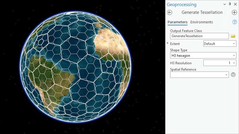
Use H3 to create multiresolution hexagon grids in ArcGIS Pro 3.1

The Generate Tessellation tool now includes H3 Hexagons, a hexagonal hierarchical spatial indexing system.

Continue Reading

Boost your Geoprocessing productivity with these enhancements in ArcGIS Pro 3.1

Check out this blog for a quick overview of some key geoprocessing enhancements in ArcGIS Pro 3.1.

Continue Reading

1 2