John Nelson
Connect:

I have far too much fun looking for ways to understand and present data visually, hopefully driving product strategy and engaging users. I work in the ArcGIS Living Atlas team at Esri, pushing and pulling data in all sorts of absurd ways and then sharing the process. I also design user experiences for maps and apps. When I'm not doing those things, I'm chasing around toddlers and wrangling chickens, and generally getting into other ad-hoc adventures. Life is good. You might also like these Styles for ArcGIS Pro: esriurl.com/nelsonstyles

Posts by this author
5 Ways to Make Your Overview Map Sizzling Hot

Turn that zero overview into a hero overview

Continue Reading

United States of Craigslist, with Demographics

Stuffing an insane array of demographic and economic data into these practical economic zones.

Continue Reading

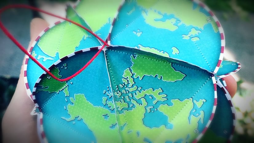
Make This Geodesic Globe Ornament Please

A crafty geodesic globe ornament template so you can rock the tree with little earths. Also, how it was made.

Continue Reading

Gap, Pass, Notch, and Saddle

There are lots of names for the same thing. It's what makes the English language a rich and wonderful dog's dinner.

Continue Reading

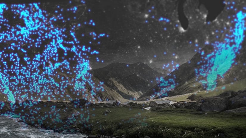
Aurora Illumination

How to overlay an aurora borealis image to mask underlying daytime imagery to create an impressionistic illumination map of the Northern Lights.

Continue Reading

Sunshine On My Shoulders

Smashing data found in the wild into ArcGIS Online geography.

Continue Reading

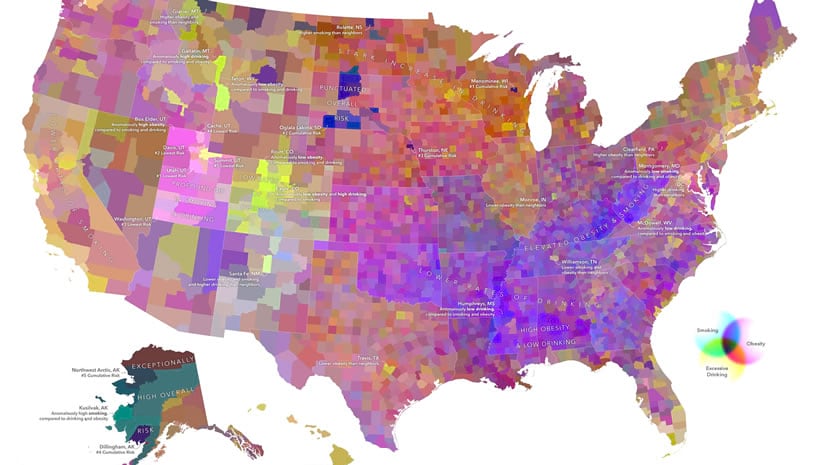
Crazy Expression Symbology and Crazier CMYK Maps

Use expressions to slice and dice attributes into bonkers symbology. Or even tasteful symbology, I guess. Anyway, EXPRESSIONS!

Continue Reading

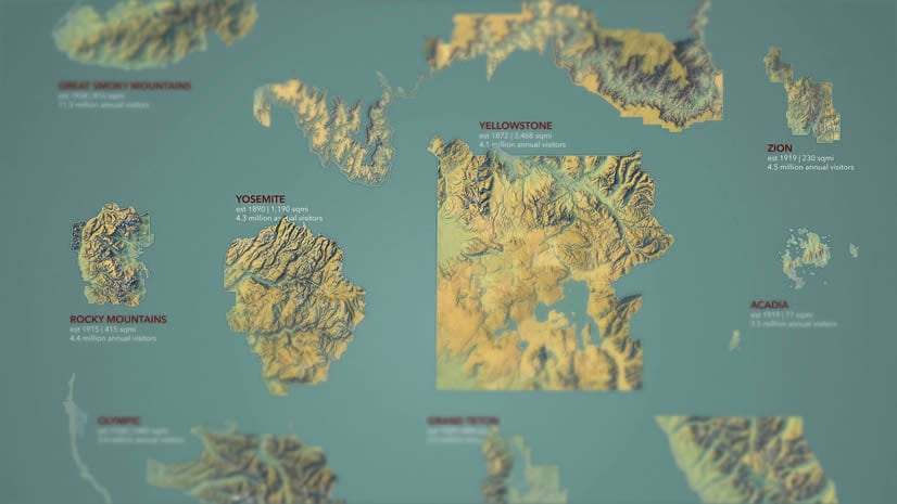
Top 10 Most Visited US National Parks (Imhof style!)

Here is a comparative layout showing the most popular national parks, in that sizzling Imhof style that you can totally steal.

Continue Reading

Chevalier Shade

Imbibe a wonderful vintage style of hachured topography into your maps.

Continue Reading

1 26 27 28 29 30 37