During the March 2017 ArcGIS Solutions Release 9 new Solution Products were added to ArcGIS, 44 Solution Products were updated and 2 moved to the Mature Lifecycle Phase.
New Solution Products
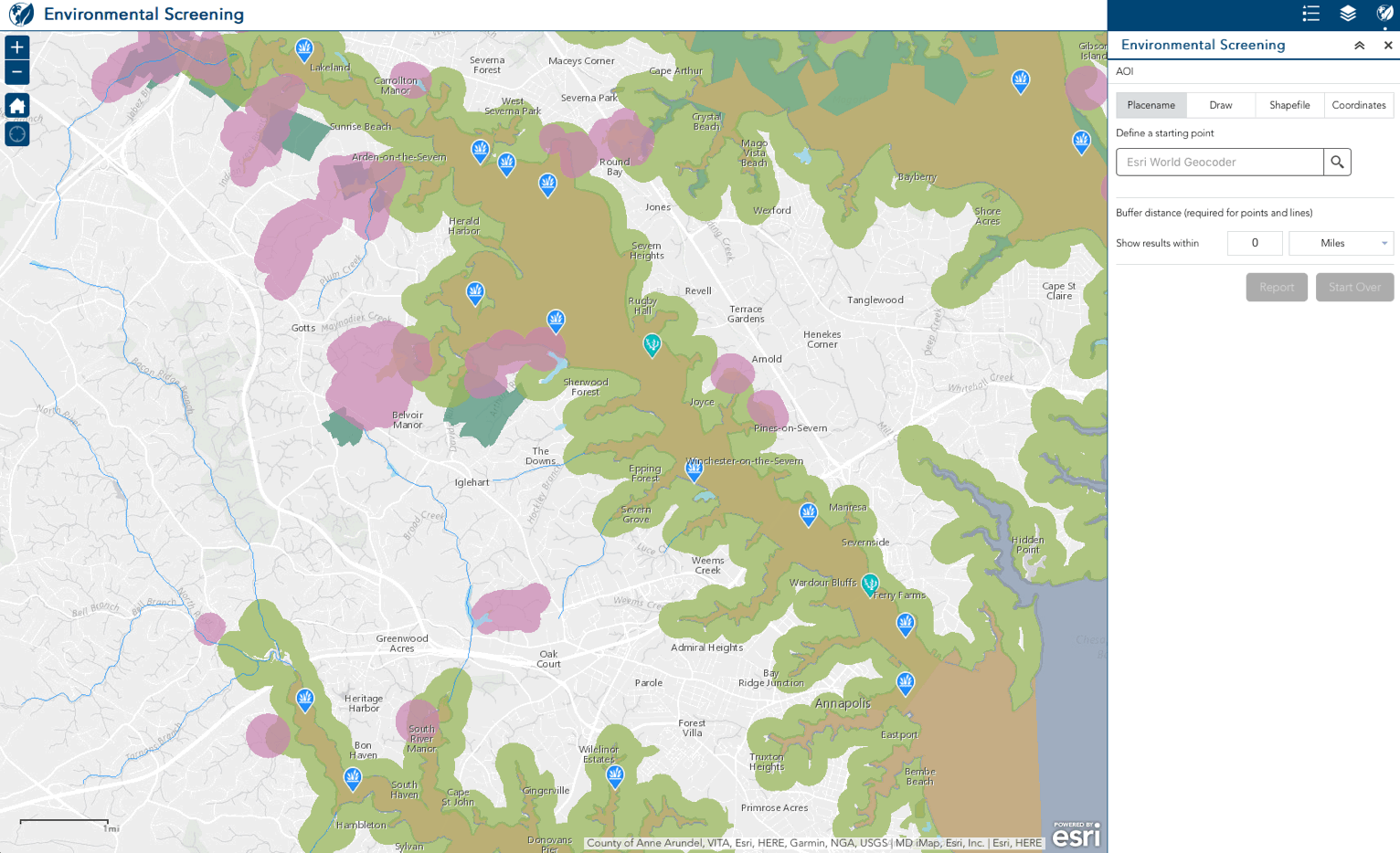
Environmental Screening using Web App Builder for ArcGIS (Developer Edition) informs the public about potential impacts from proposed projects.
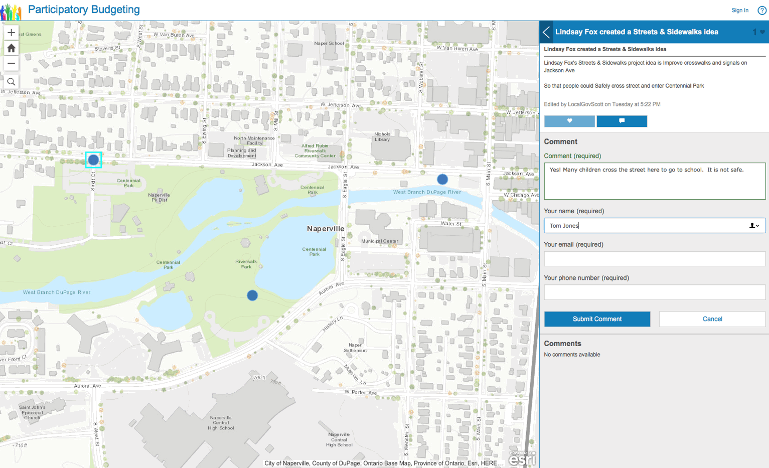
Participatory Budgeting helps the public learn about, discuss and suggest priorities for public spending projects.
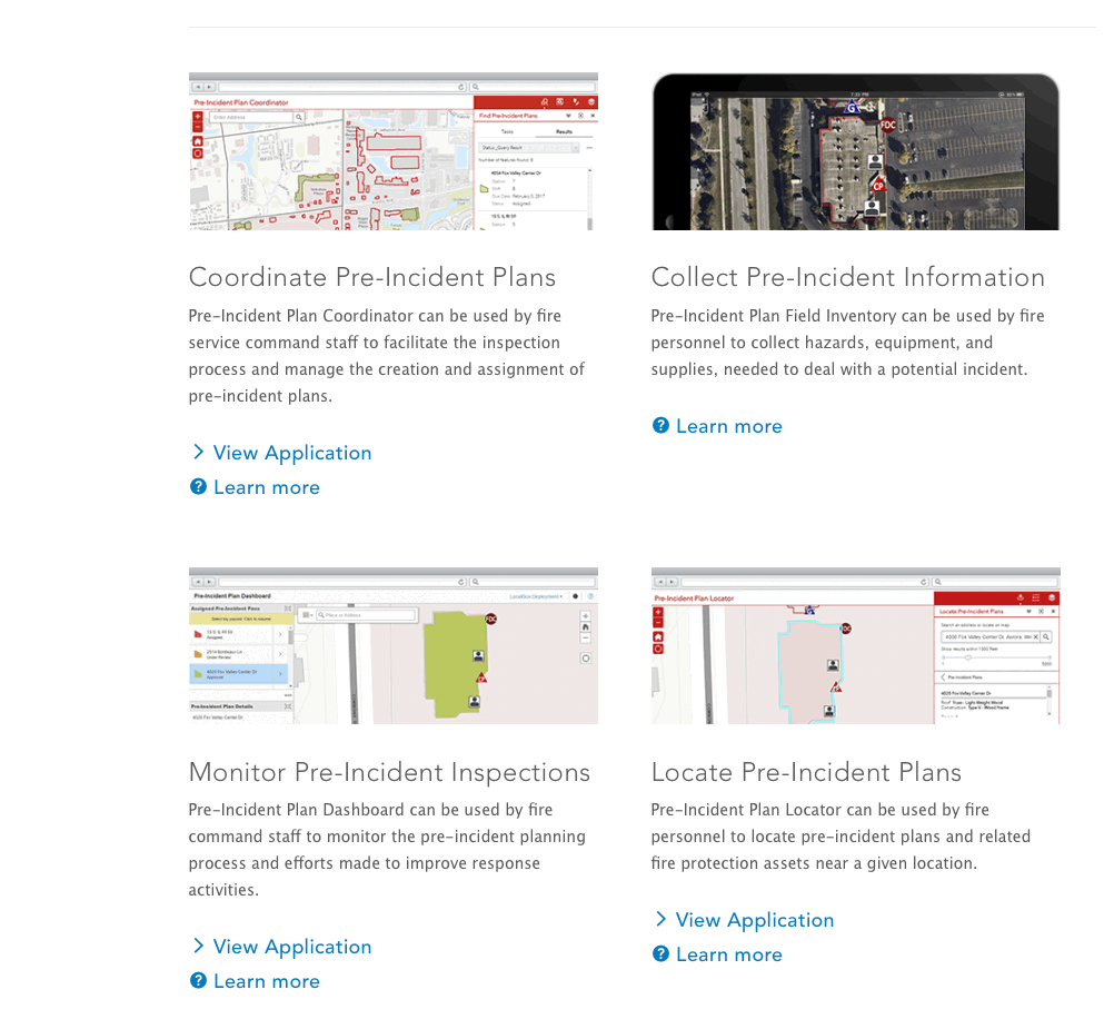
Pre-Incident Planning maps and apps enable fire operations staff to streamline pre-incident planning.
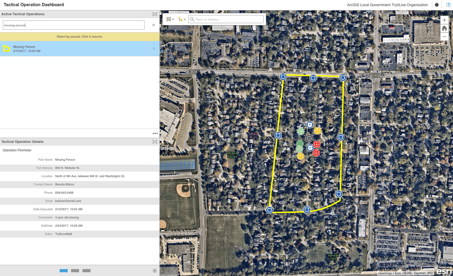
Tactical Operation Dashboard enables law enforcement personnel to access and review tactical operations plans.
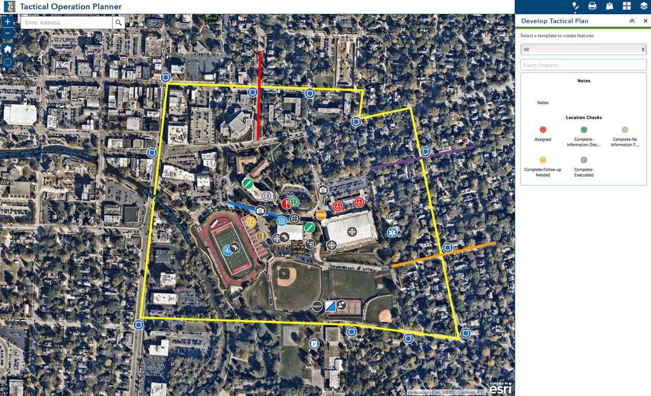
Tactical Operation Planner creates tactical operations plans for law enforcement agencies.
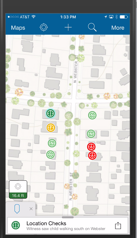
Tactical Operations Surveillance supports field intelligence collection for tactical operation planning.
ArcGIS Solutions Deployment Tool Updates
Fire Hydrant Inspection, Floodplain Inquiry, Nighttime Flow Analysis and SnowCOP can now be deployed using the ArcGIS Solutions Deployment Tool.
Updated Solution Products
Adopta resolved an issue when TLS was checked for email notifications.
ArcGIS Online for State Government and ArcGIS Online for Environment and Natural Resources received updated sample thumbnails with new icons.
As-Built Editing and Analysis incorporates the latest release of the Attribute Assistant Add-In. Added a configuration option to control line splitting behavior. Enhanced the construction tools to add Create a line with Points. Squashed bugs.
Capital Improvement Planning removed the LocalGovernment.gdb and replaced with WaterUtilities.gdb, CapitalImprovementPlanning.gdb and ReferenceData.gdb. Added a vertical coordinate system to the water, sewer, and stormwater feature datasets. Incorporates the latest release of the Capital Planning Add-In.
Citizen Science Manager and Property Listing Reviewer added support for shared theme, support for feature collections as reference layers and an option to display the details, media or related record panel first upon selecting a record. Updated to version 3.20 of the ArcGIS API for Javascript
Citizen Science Reporter and Property Lister added support for shared themes, additional smart phone display options, the ability to configure the order of the three main form sections, the ability to make different Help content available on sign-in and in-app and the ability to display in-app help on a splash screen. Improved display of labels for uneditable layers and improved user experience when viewing ‘My Submissions’ on layers with filters. Removed map from the submission form in the desktop/tablet layout. Updated to version 3.20 of the ArcGIS API for JavaScript.
Common Operational Picture, Environmental Impact Public Comment, Events Permit Review, Events Map Gallery and Historical Election Results Gallery updated to version 3.20 of the ArcGIS API for Javascript and now support shared themes.
Early Voting, Live Work Locate, My Hazards Information and My Health Services include the updated Near Me Widget that allows users to specify the maximum number of results returned.
Events Permit Review incorporates the latest enhancements to Crowdsource Polling.
Flood Planning, Public Land Survey Editing, Sign Inventory, Signal Inventory and Streetlight Inventory incorporate the latest release of the Attribute Assistant Add-In.
Health and Safety Reports incorporates the latest enhancements to Crowdsource Reporter & Crowdsource Manager.
Local Government 3D Basemaps was renamed from Local Government Scenes and received bug fixes and performance enhancements.
Local Government Information Model removed Water Utility feature datasets and other features and domains that are now provided through the ArcGIS Solutions Deployment Tool or the ArcGIS for Local Government Services Catalog.
Logistics Planning, Operations Response and Situational Awareness Viewer include updated Situation Awareness widget to work better with various themes, Snapshot button is now disabled when the defined location has no potential impact of an incident and find Closest Address better supports localized projections (non-Web Mercator).
Mosquito Adulticide Planning add the ability to email notify homes and businesses near spray locations.
Nighttime Flow Analysis removed Automated Setup Tools, functionality replaced by the ArcGIS Solutions Deployment Tool. Incorporated the latest release of the Attribute Assistant Add-In
Permit Inspection, Restaurant Inspection and Water Quality Inspections updated sample data.
Public Land Survey Editing incorporates the latest release of the Attribute Assistant Add-In, parcel publication tool output is now CadNSDI compliant and updated to the most recent LocalGovernment.gdb.
Residential Comp Finder and Site Selector now support multiple filters configured on a single layer and updated to most recent LocalGovernment.gdb
Shadow Impact Analysis added ability to select a 2D feature as observer and ability to compare individual time steps and shadow hours.
Transportation 511 updated the Overwrite Hosted Features script to properly clean up the file geodatabase during execution and incorporates improved Info Summary widget support for CSV files.
Water Utility Network Editing and Analysis removed LocalGovernment.gdb and Raster.gdb and replaced with WaterUtilities.gdb and Reference.gdb. Added a vertical coordinate system to the water, sewer, and stormwater feature datasets. Incorporates the latest release of the Attribute Assistant Add-In and the latest release of the Water Network Editing Add-In.
Visibility Assessment added ability to select a 2D feature as observer or target.
Product Lifecycle Changes
Environmental Screening Javascript version moved to the mature lifecycle phase. Replaced with new Environmental Screening configuration using Web App Builder for ArcGIS (Developer Edition).
Pre-Incident Planning moved to the mature lifecycle phase. Replaced with a collection of new Pre-Incident Planning maps and apps.

Article Discussion: