The open data team has been tirelessly working to build out key features that the more than 3,700+ organizations sharing Open Data have been asking for, and we are all very excited for this week’s release to lay the foundation for 2017!
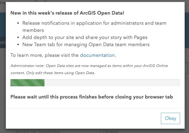
In App Release Notifications
We love writing blogs and you love reading blogs, but sometimes you just want a quick note to know what’s new when you log in. After many requests we are proud to announce this new feature! The first time an administrator logs into opendata.arcgis.com/admin you will be notified of this magical update. We will continue to post announcements in the application anytime we introduce something new for you to enjoy!

Improved Security and Sharing of your Sites
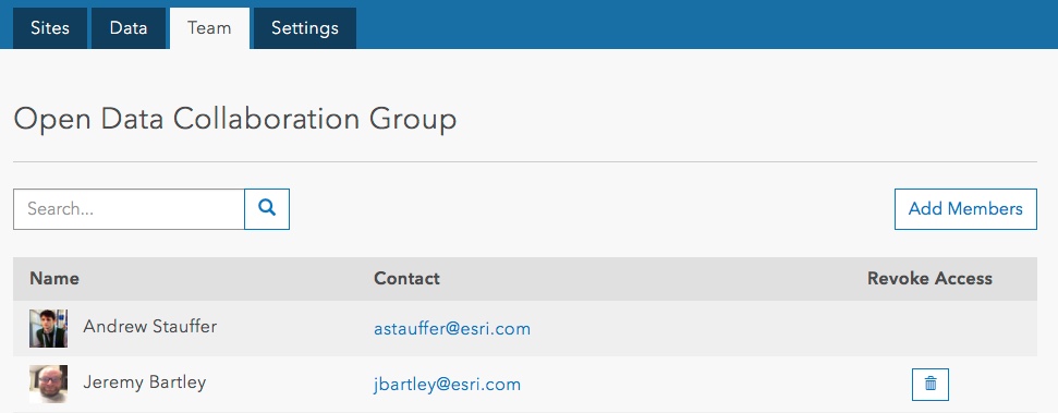
We’ve added a Team tab within the Open Data Admin and populated this group with anyone who already has access to the Admin application. Moving forward, you can manage editor access to your site from here—no more relying on account privileges to manage your Open Data team.

To also aid sharing workflows, all 2.0 sites now have corresponding items in ArcGIS Online. While you can only edit these items in the Open Data Admin, managing sites like this allows you to share them with your team, organization, or to the public. Not only does this help improve the granularity of sharing, it is a key change required to support a heavily requested ability to restrict access to your sites and data by requiring a login, which is coming soon.
SSL is here!
This is the beginning of our effort to satisfy the OMB HTTPS-only standard. The default link to your site will be via HTTP which you can switch to HTTPS as required. Custom domains will not yet be supported with this change for SSL, and any content (including web services) you add to your site will also need to support SSL.
Welcome to the release of Pages!
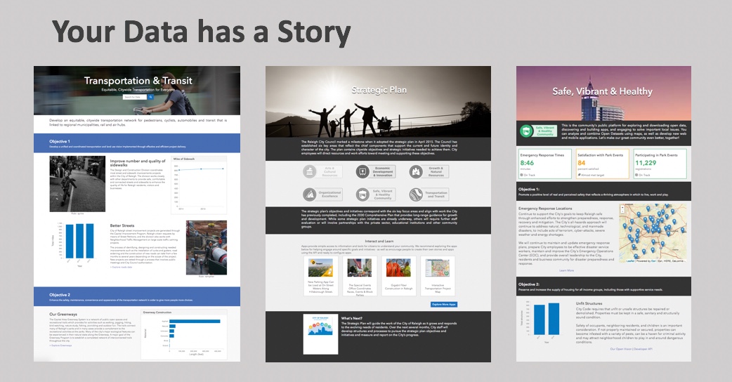
Every dataset you publish is used to drive change in your community or to establish public trust through transparency. Starting today, any Open Data team member can begin to add depth to your site by creating pages. These pages will match your established branding style and can be used to showcase your applications, tell narratives of certain datasets, share surveys, and more.

You will see the option on the Site Manager to create a page. Once created, you can edit the page with the same experience as your site homepage without having to duplicate the header, footer, and theme. Your pages are referenced from your site and will automatically adopt branding you have already configured.
Using the cards that are available in the layout builder, you can customize each page to highlight datasets and link to applications, or try embedding maps, surveys and charts. If you don’t see the card you’re looking for, don’t worry… more will be coming soon!
Note: An organization administrator must sign into the Open Data administrative application to unlock the team tab and pages feature.
Build your website and tell your stories today by enabling Open Data!
Also join our community on GeoNet to share your feedback and ask any questions.
Article Discussion: