The latest release adds useful enhancements to several widgets.
Add Data
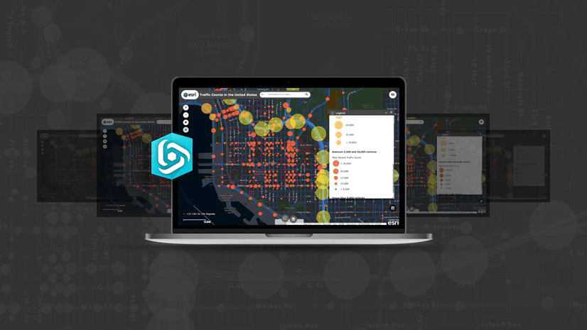
Analysts often do extensive research using many sources to gather information for their web apps, which sometimes requires the ability to use OGC services. Using the Add Data widget, in addition to WMS OGC web services, you can now add a WFS OGC service via a URL or via an item referencing the service.

Group Filter
A popular request for the Group Filter widget was to hide the header and be able to filter selection if only one group is configured. A new option has been added to address this request.

Also, you can add custom header text to describe what the filter is, like this:

Near Me
If you don’t want to highlight selected features, you can turn this option off with a checkbox.

You can also choose to expand or collapse filters when users open the widget.

Screening
When you generate a report, tables can get quite large. To make tables more focused and easier to read, you can hide all rows with no values or with 0 values. To be consistent with other widgets, such as Measurement, the Screening widget now has an option to calculate area in square miles.

Threat Analysis
When performing threat analysis, if none of the default threat types meet your needs, you can define your own threat types and associated evacuation distances.

Before today, widgets such as Emergency Response Guide allowed you to publish results to a hosted feature layer. With this update, the Distance and Direction and Visibility widgets can do so as well.
These are just some of the enhancements to Web AppBuilder. To review the rest, check out the What’s new in Web AppBuilder for ArcGIS page.
Thank you,
The Web AppBuilder Team


Commenting is not enabled for this article.