ArcGIS GeoEvent Server introduces new improvements at June’s ArcGIS Enterprise 10.7.1 release. Updates include stability enhancements and improved functionality throughout the product.

Key highlights of this latest release include:
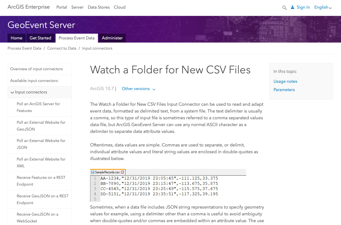
- New documentation for each of the available input connectors and output connectors including summaries, usage notes, parameter descriptions, and known limitations.
- Additional updates to the embedded help for processors and connectors in GeoEvent Manager.
- Updates to GeoEvent Server SDK libraries.
In particular, documentation has expanded around each input and output connector that was not previously available. At 10.7.1, each input and output connector now has a help topic associated with it. For example, the Poll an ArcGIS Server for Features Input Connector can be used to poll an ArcGIS Enterprise or ArcGIS Online map or feature service layer for feature records in order to process them as event records. The Add a Feature Output Connector is used to save event data as feature records via a feature service’s feature layer. This connector creates a new feature record for every processed event record routed to the output.
For a complete list of the issues addressed in ArcGIS GeoEvent Server 10.7.1, see the ArcGIS 10.7.1 Issues Addressed List. And don’t forget to check out ArcGIS GeoEvent Server at 10.7, that introduced improved usability, expanded analytical capabilities, and an enhanced spatiotemporal big data store experience.


Commenting is not enabled for this article.