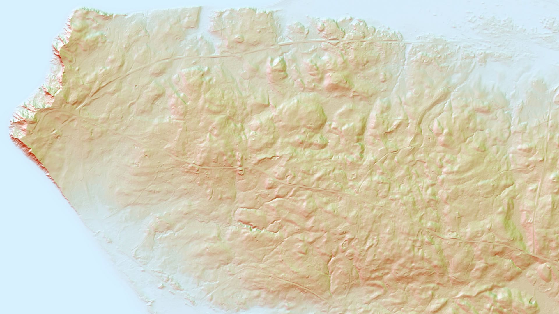
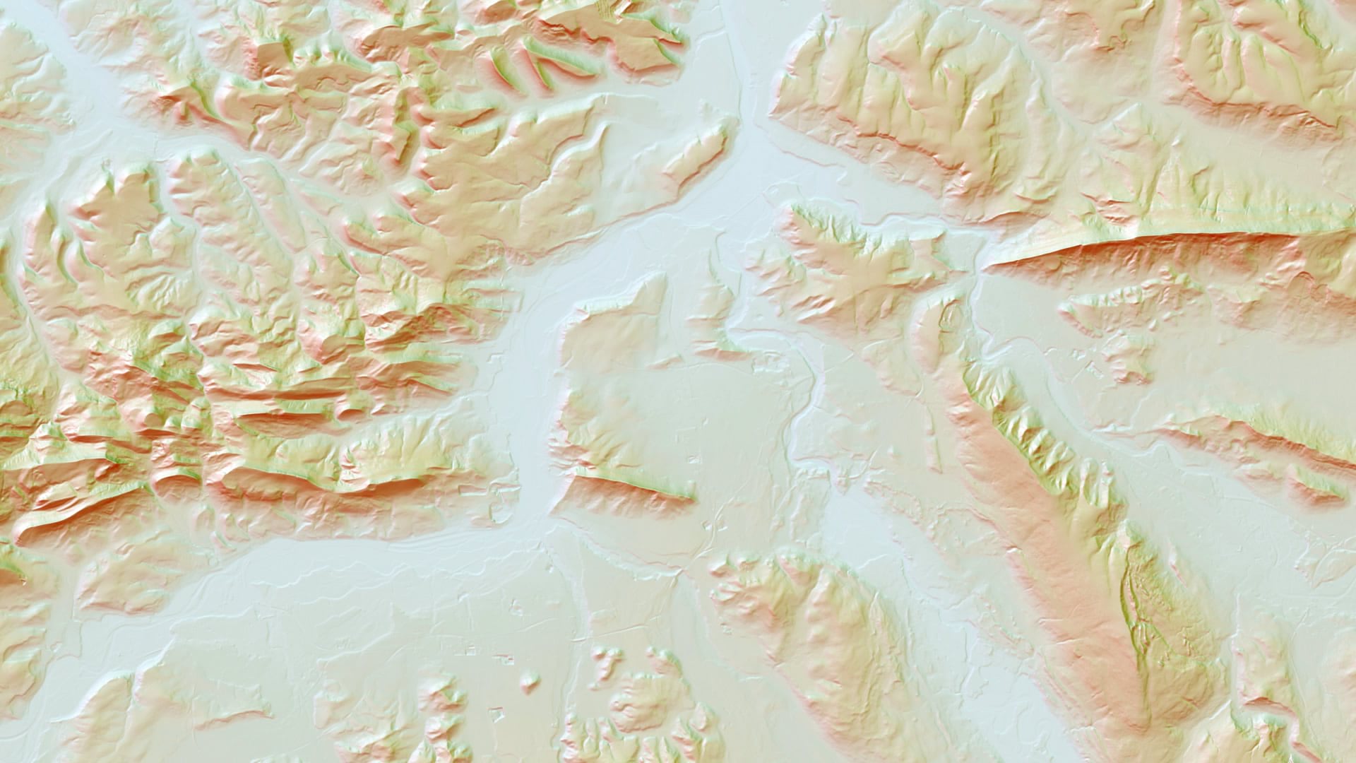
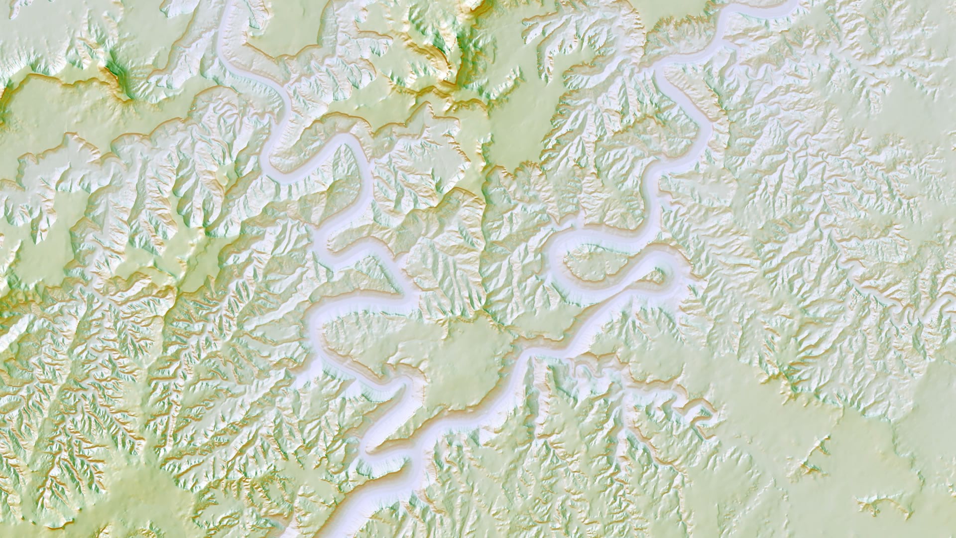
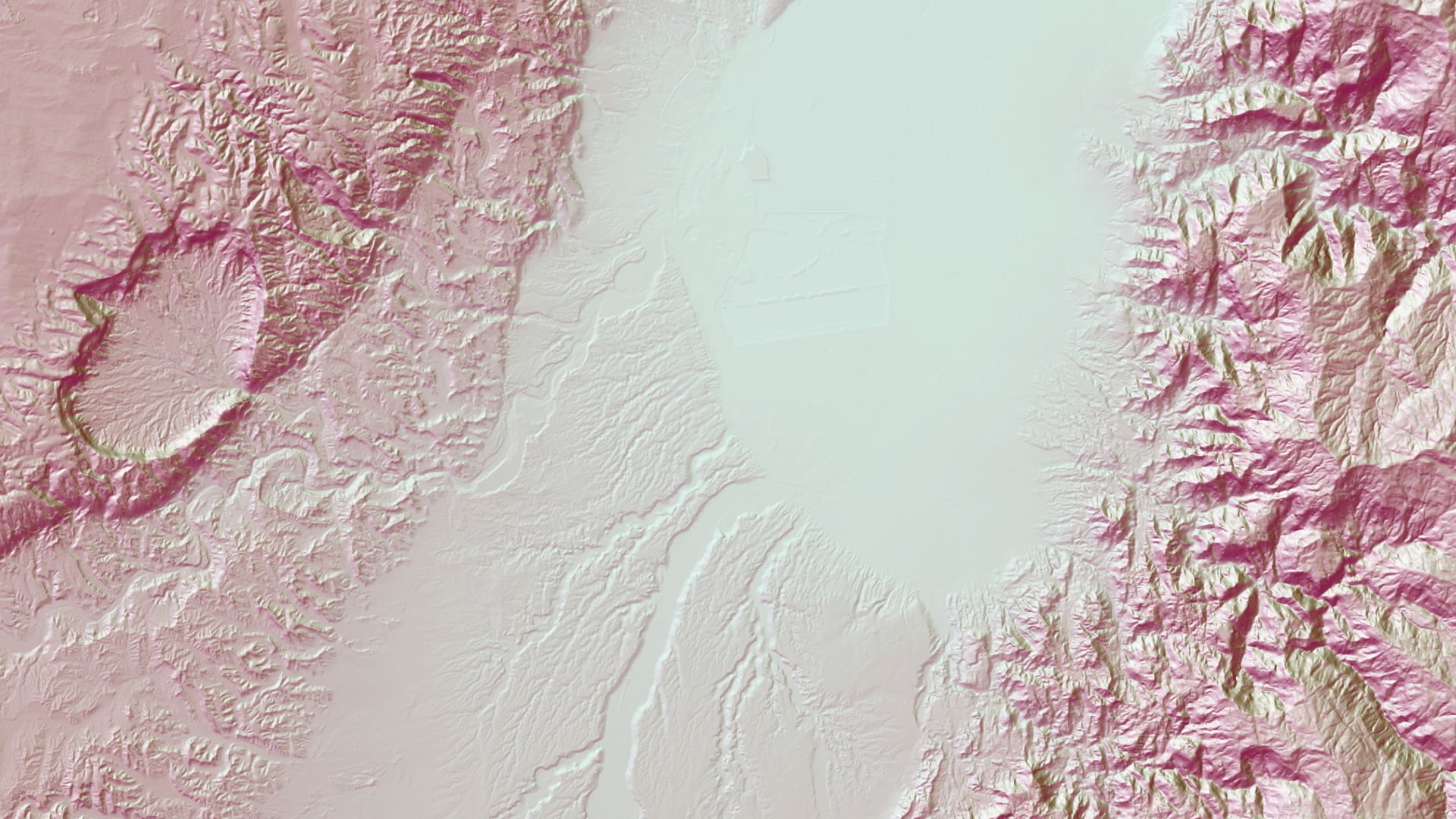
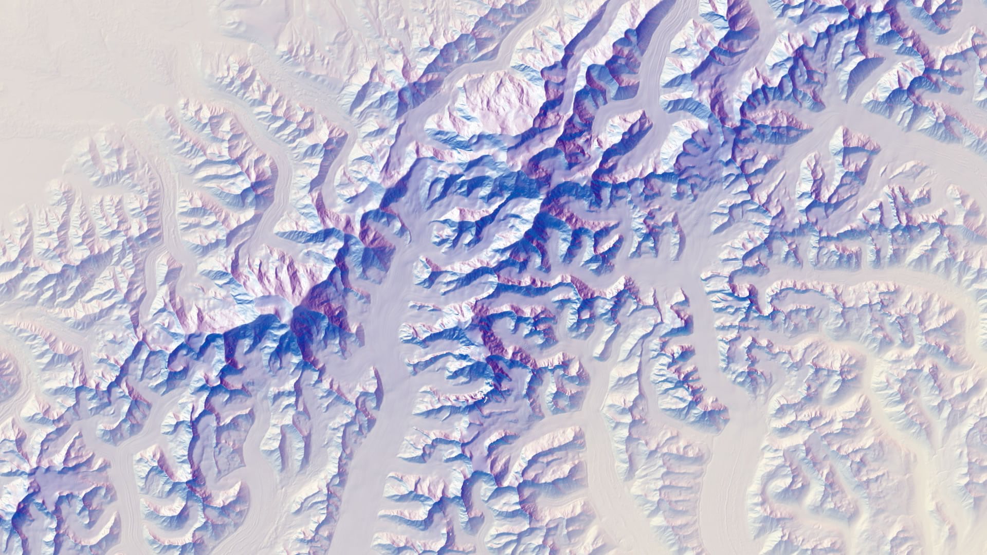
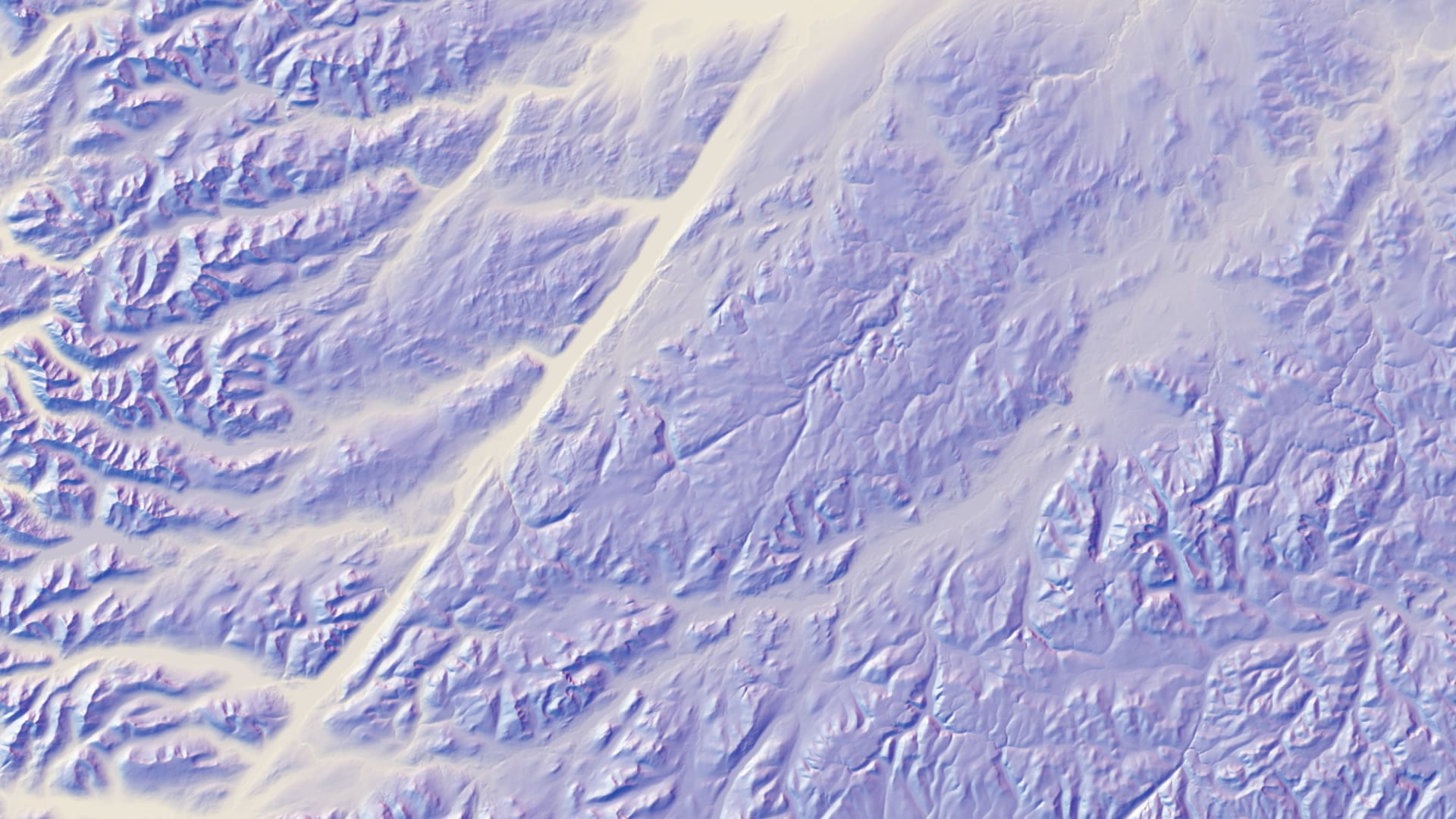
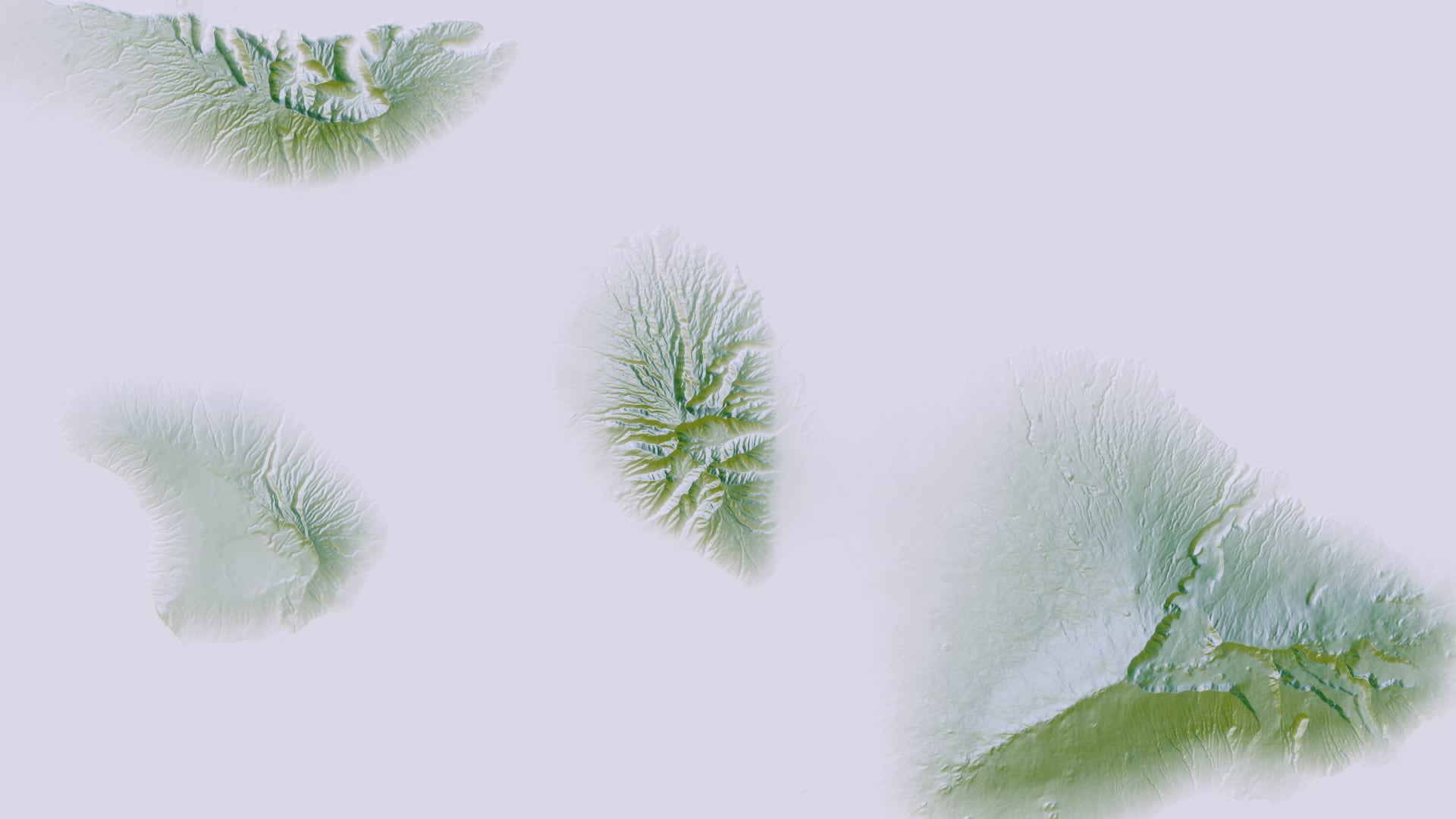
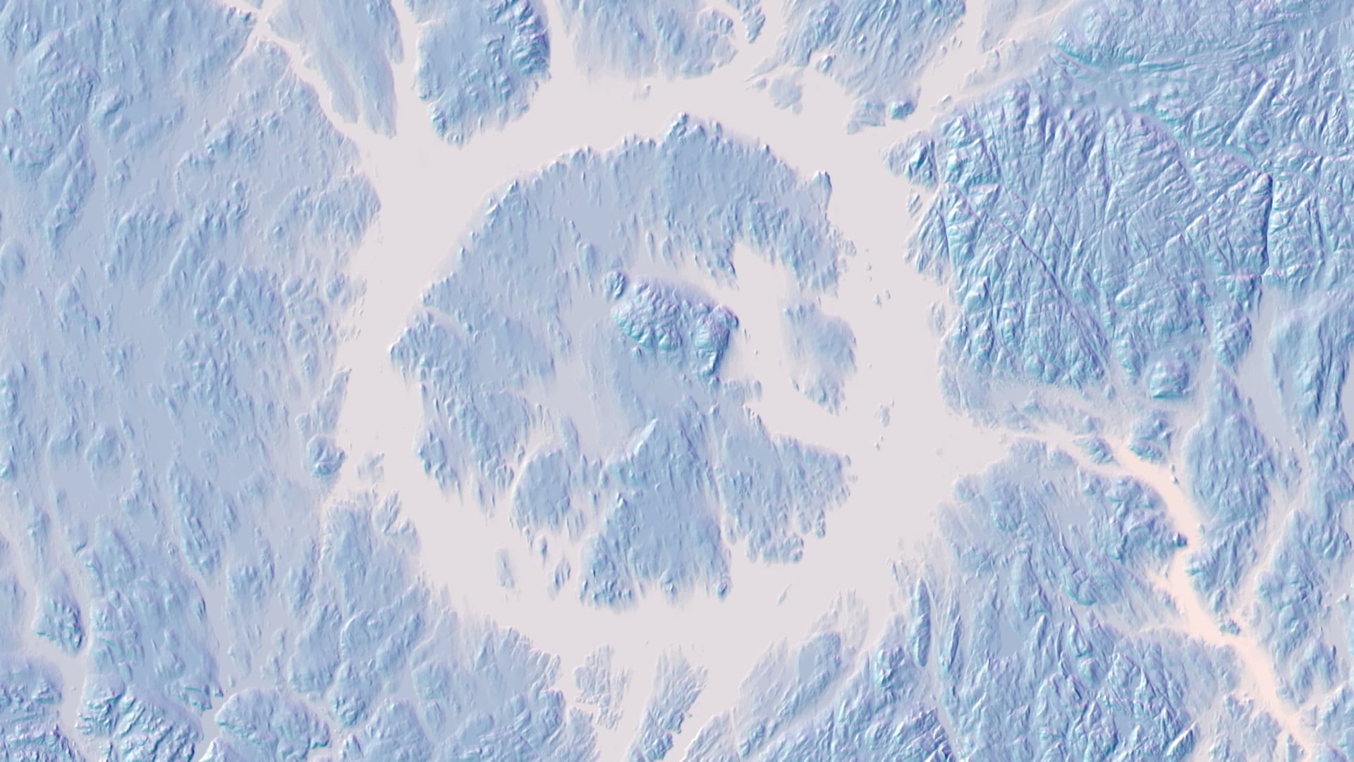
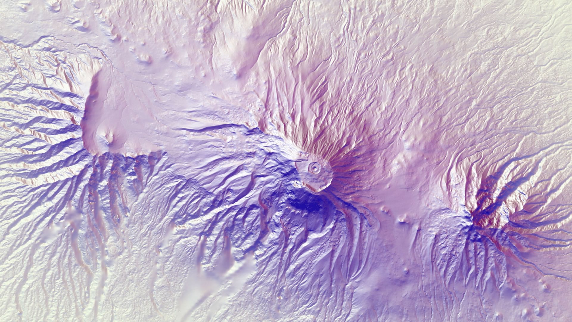
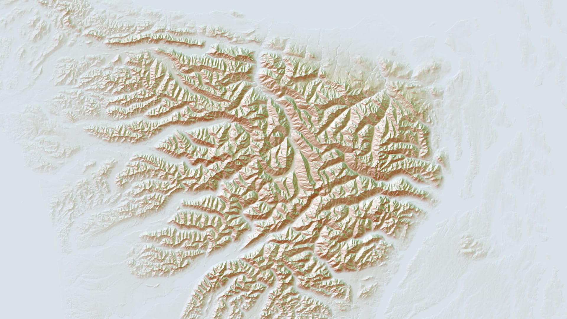
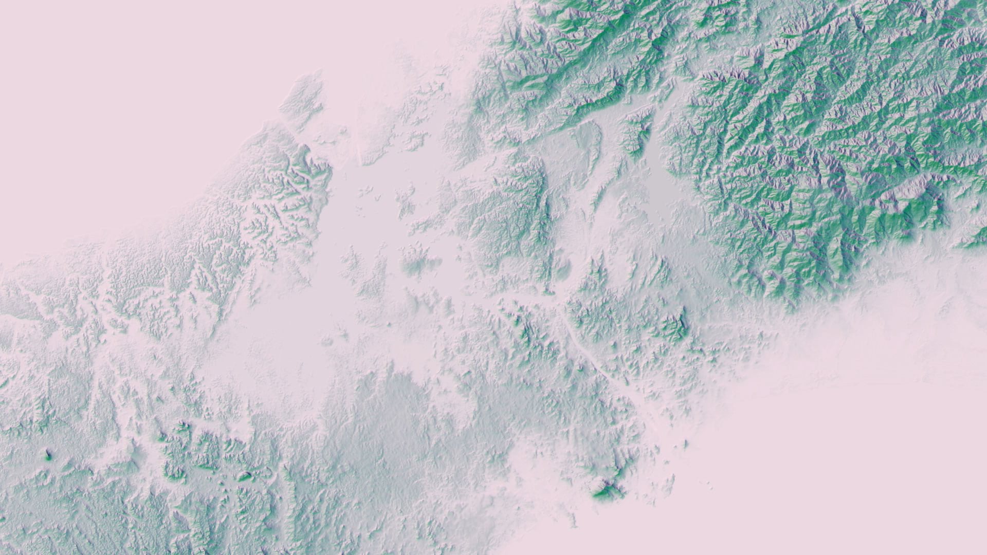
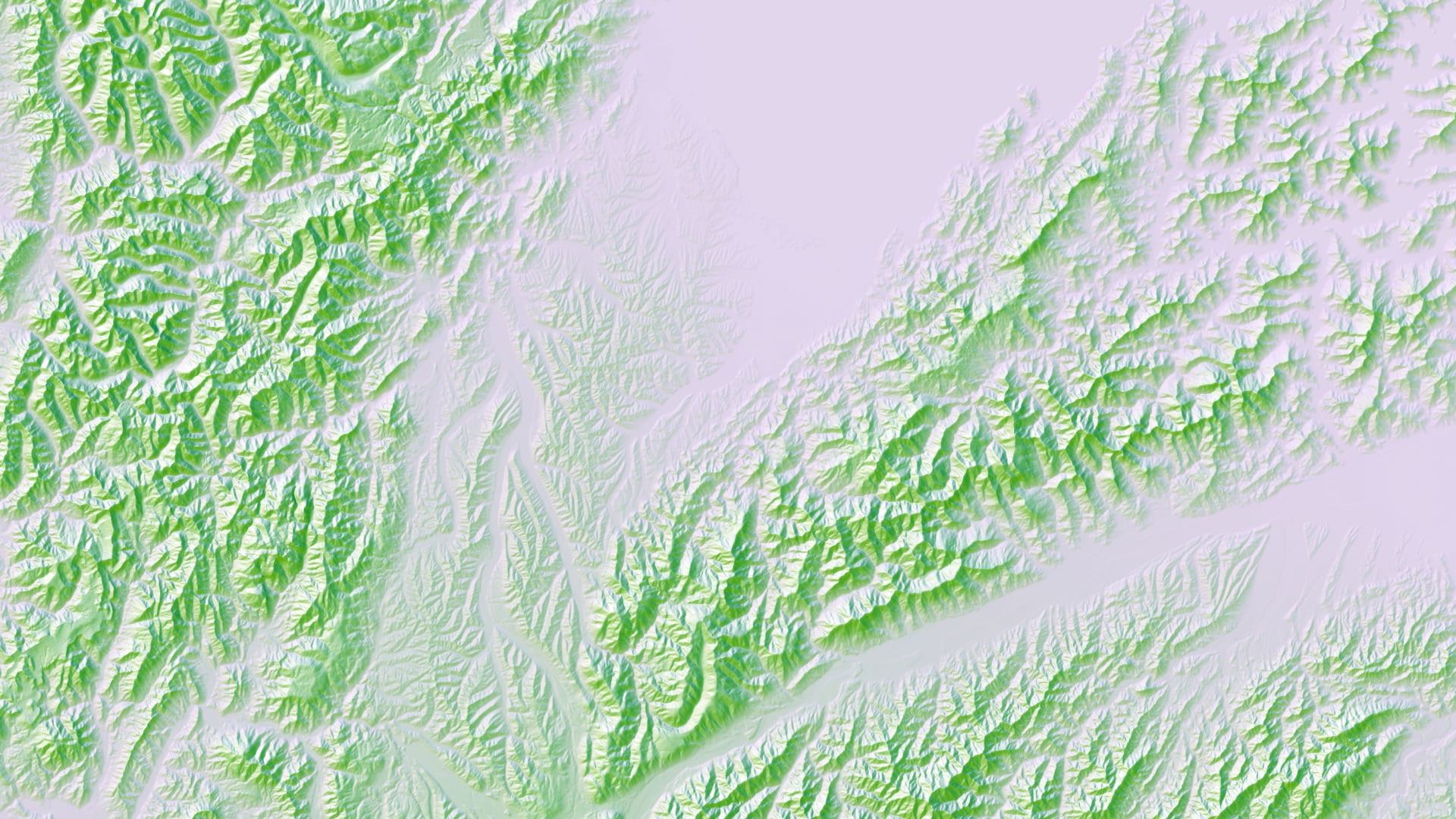
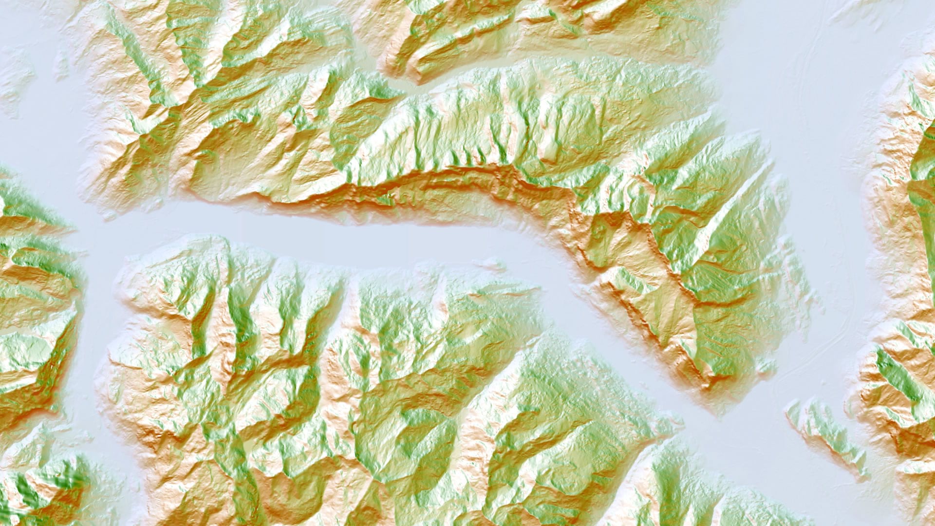
Here is a quick gallery of hillshade images created in ArcGIS Pro using the (continually and recently updated) Terrain image service and the Traditional Hillshade raster function. If you would like to learn how they were made (mega simple) and give it a go for yourself or your customer, here’s a how-to.
In the meantime, enjoy the wonderful texture of our beautiful shared home…

Commenting is not enabled for this article.