As part of the ArcGIS Enterprise 10.7 release in March, ArcGIS GeoEvent Server introduced new functionalities and enhancements. Updates include new processors, an improved spatiotemporal big data store experience, and other key features such as embedded help and monitoring control.

Usability and documentation
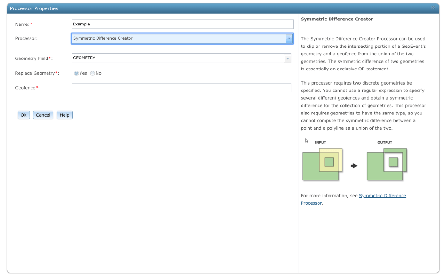
Hello, embedded help! This 10.7 release features new embedded help that lets users access documentation quickly for all the available connectors and processors directly in GeoEvent Manager. In addition, published feature services from GeoEvent Manager now support hosted views that allow users to apply different editor settings, styles, or filters. Better manage system resources by setting user-defined refresh intervals on the Monitor page of GeoEvent Manager.
Expanded analytical capabilities
New at 10.7 are six out-of-the-box processors to boost real-time analysis.
- Event Joiner—joins two separate events based on a shared key value and creates a new GeoEvent definition using the schema of both input sources
- Bearing Calculator—calculates the bearing, or heading, between two sets of points in a single event record
- Range Fan Calculator—constructs a polygon forward of an event’s point geometry and represents the visual or contextual range of an event record
- Event Volume Controller—controls the rate of event records processed
- Feature to Point—simplifies event geometry to a point for visual or storage purposes and calculates the centroid of a feature
- Add XYZ Values—extracts the X, Y, and Z coordinate values from a point event record
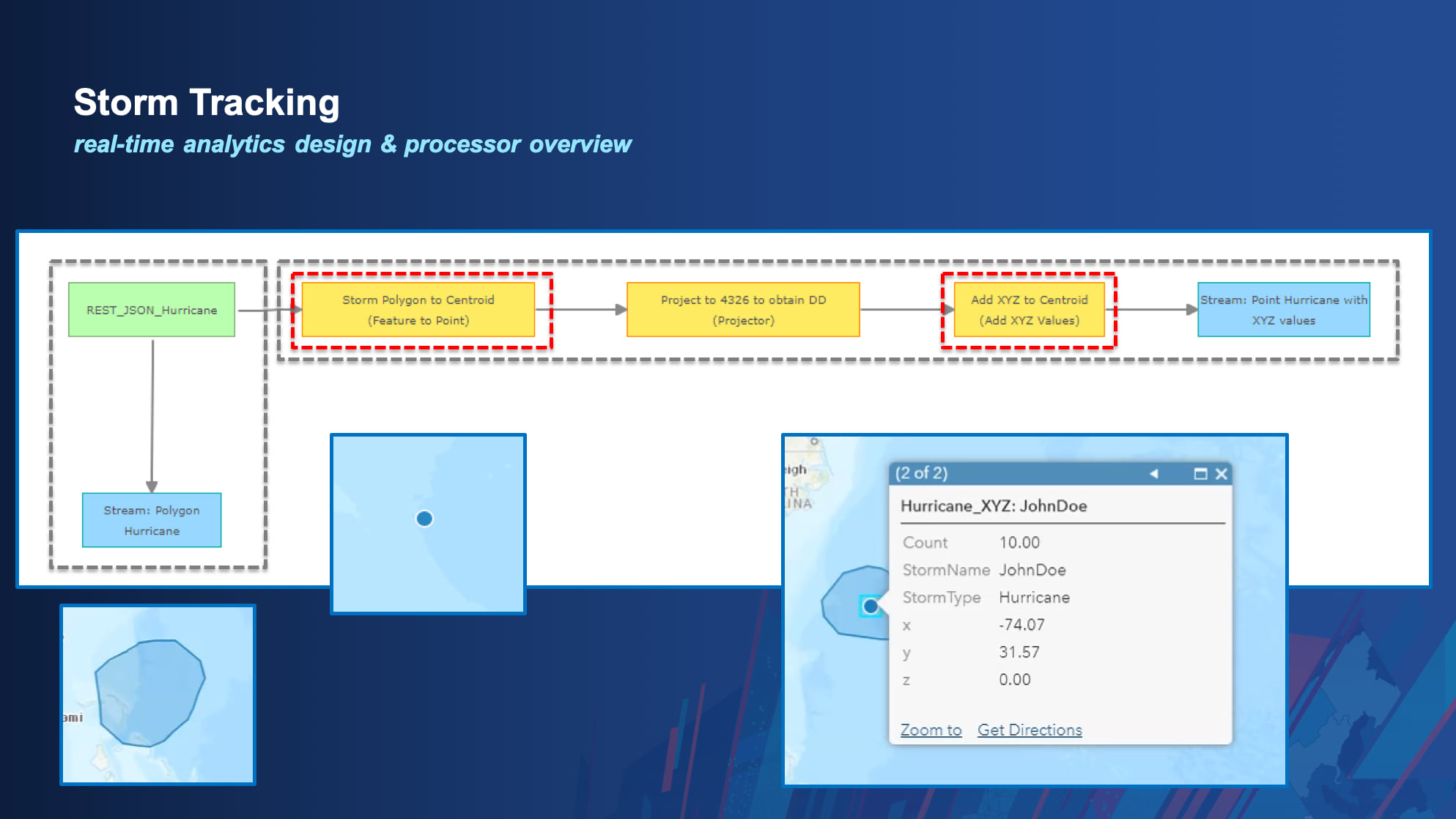
For example, Feature to Point and Add XYZ Values can be used to track a storm.

When monitoring a storm as it moves, the storm’s data comes in as polygons, which users may not necessarily want to save in their database solution due to its complexity. As polygons come in, users can pass the polygons to the Feature to Point processor to create the centroid of the polygon and subsequently use the Add XYZ Values to take those coordinates and store them in separate fields.
Spatiotemporal big data store
New at 10.7 is the spatiotemporal big data store experience, which now includes Z-value support for data sources. In addition, users can now export delimited text to an Azure or Amazon cloud store right in GeoEvent Manager. There is also improved messaging when performing cloning, exporting, and importing of data. Learn more in our documentation and product page.


Commenting is not enabled for this article.