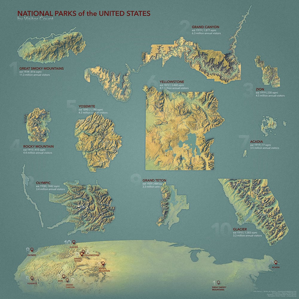
Here is a big fat poster of National Parks.
To Take
If you want to smash some maps like this yourself, you can download an ArcGIS Pro project with all the data and styles ready to roll. Or, if you would rather grab the style and apply it to a project you already have going, then find that here. The only objectively wrong choice is to not participate in making your own Imhof-style maps at all. Search your feelings; you know it to be true. Complete your training.
To Make
You can toss together all manner of map views into a single layout. To make this poster, I made a map view of each park in an orthographic projection, centered over the park. Then in a layout I inserted each map, careful to retain the same scale for all map views so you can see them at their relative sizes.
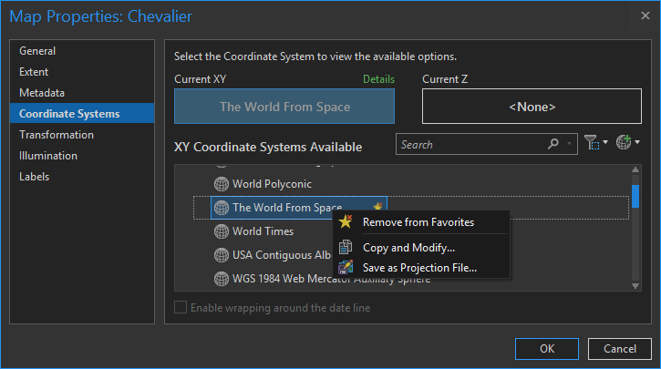
I also set the maps’ reference scale so that the hillshade crispness was not too sharp or too dull. Goldilocks.
The isolated floating park effect was done by just drawing a big polygon feature and erasing the shape of the park. Learn more sizzling hot area-of-interest techniques here.
To Ruminate
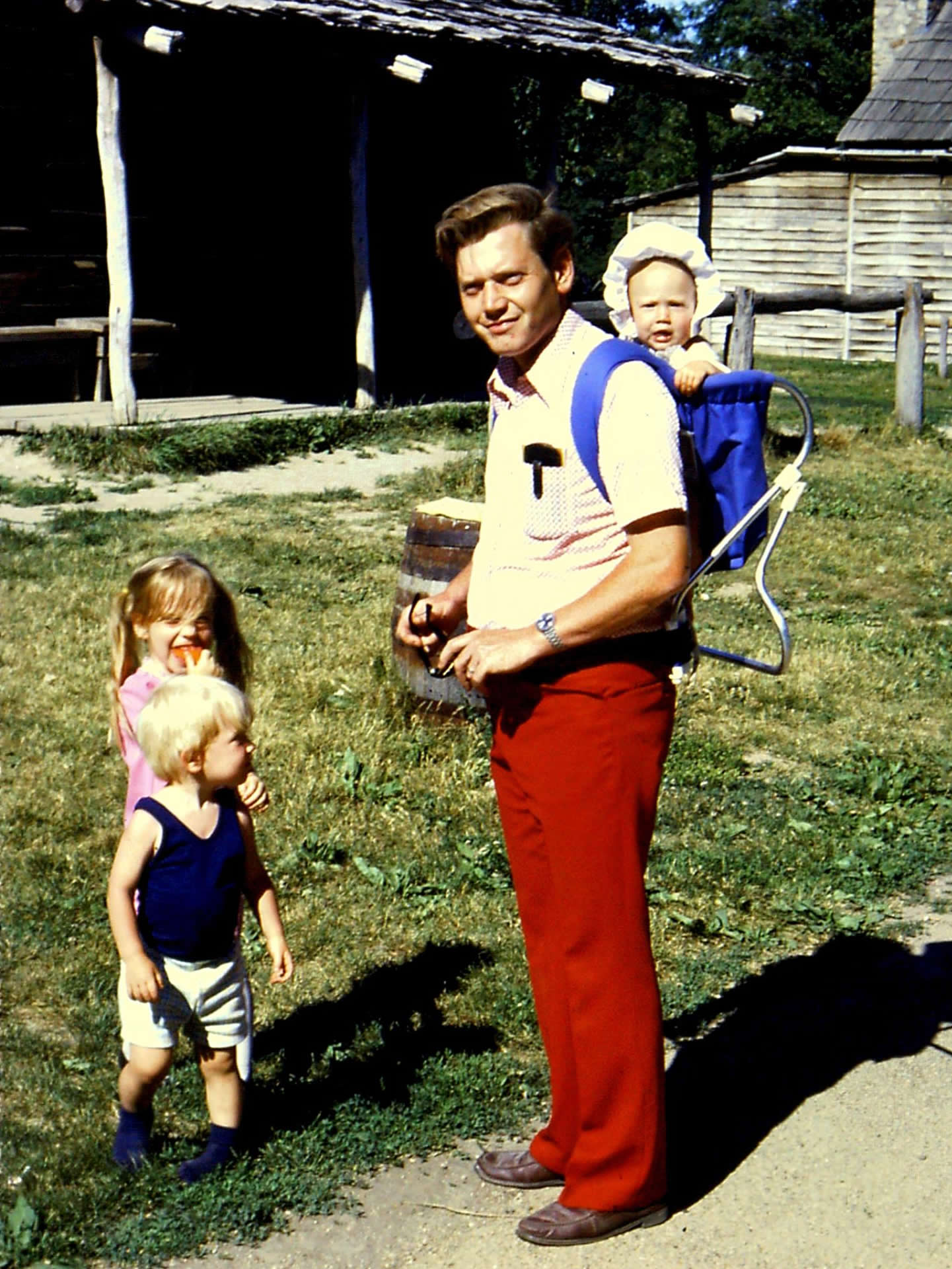
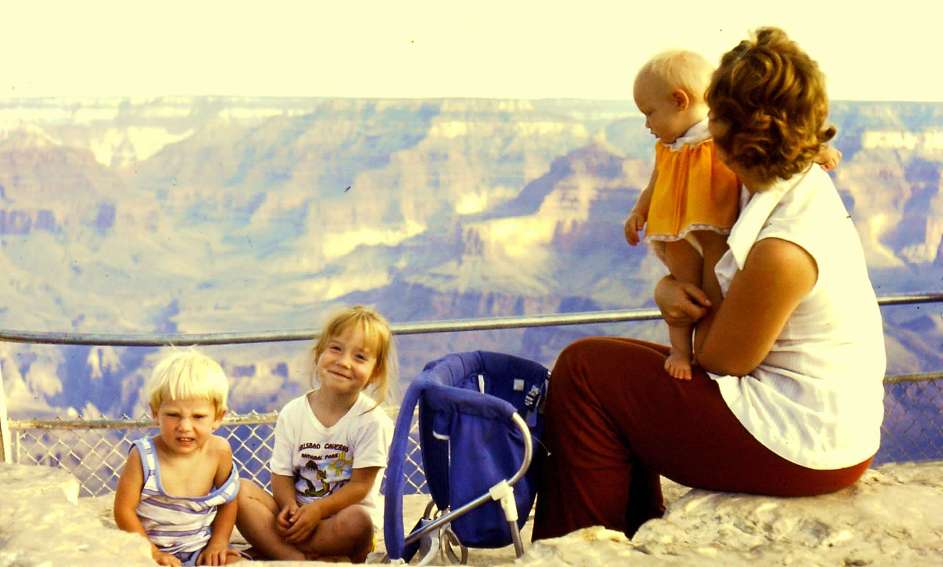
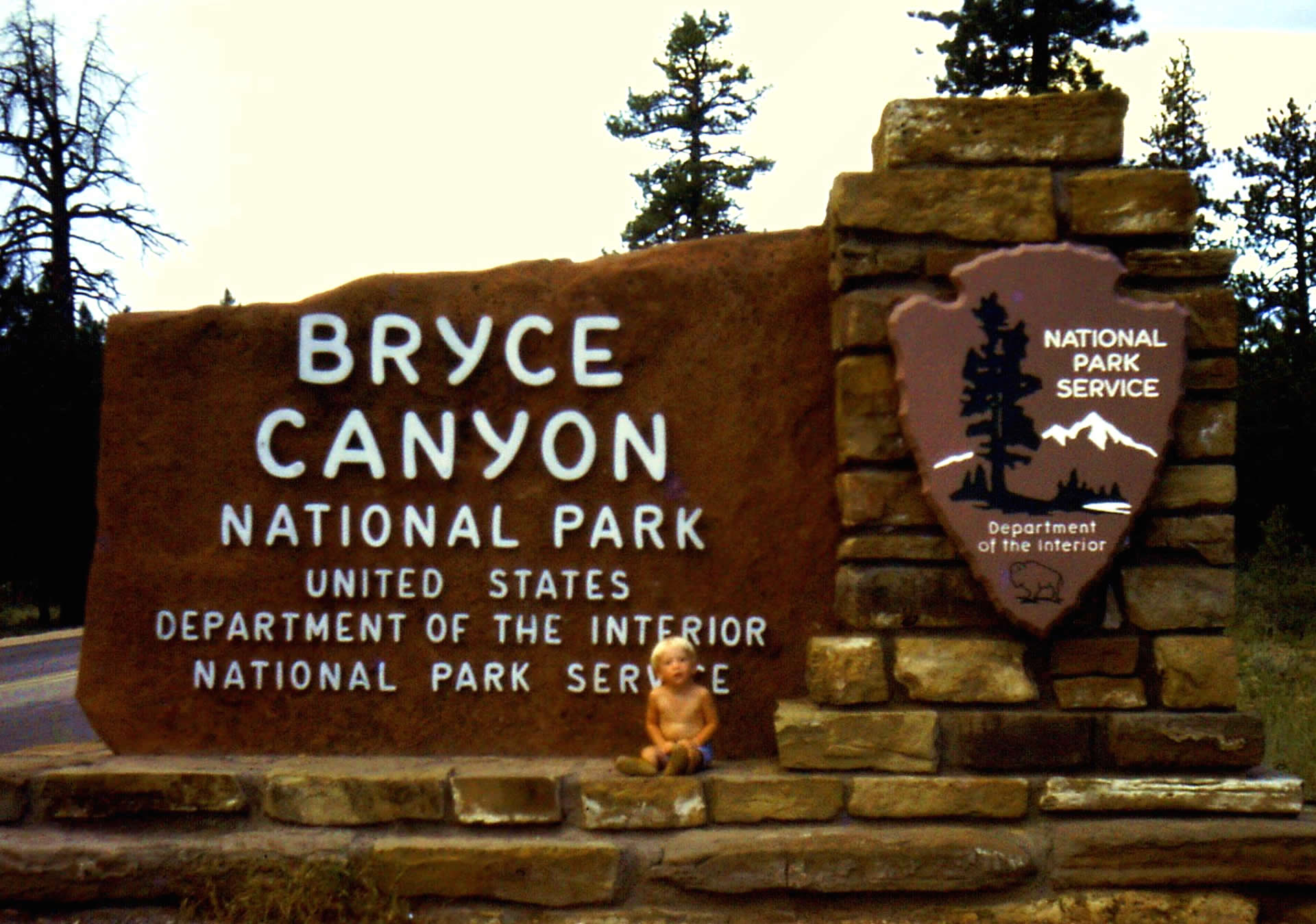
My parents were teachers, which was pretty great. In summers we’d pile into a vehicle and spend much of the summer cruising around. My Dad would snap slides for use in his classes. It was an amazing childhood, much of it spent in these magnificent places. Of this list, I’ve not been to Acadia. I have my sights on it.
For posterity, here are some Nelson family roadtrip snapshots…
Happy living! And mapping. John

Commenting is not enabled for this article.