ArcGIS Maps for Adobe Creative Cloud is a plug-in for Adobe Illustrator and Adobe Photoshop. Cartographers and designers can bring ArcGIS data into Adobe Creative Cloud to create beautiful and useful maps and graphics. New to Maps for Adobe Creative Cloud? Get started with our video tutorial playlist.
The November update (version 3.8) adds a feature for converting ArcGIS point symbols to Adobe Illustrator symbols, enhances the symbol replacement feature by allowing you to replace raster points with vector points from an Adobe Illustrator symbols library, and more. Available now.
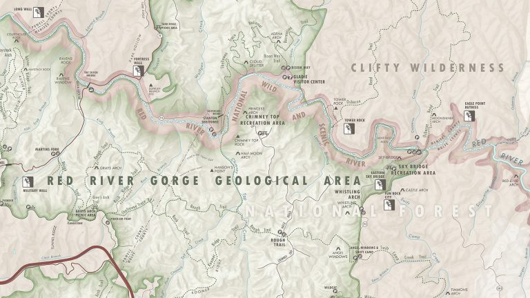
New features and enhancements
- Update to the latest software—Maps for Adobe Creative Cloud now supports Adobe Illustrator 2025, Adobe Photoshop 2025, ArcGIS Pro 3.4, ArcGIS Enterprise 11.4, and the latest update of ArcGIS Online.
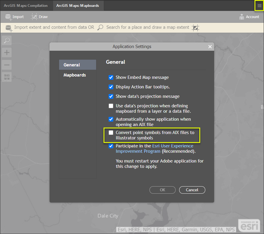
- Convert ArcGIS point symbols into Adobe Illustrator symbols—When you open .aix files from ArcGIS Pro, you are now prompted with the option to convert ArcGIS point symbols into Adobe Illustrator symbols. Adobe Illustrator symbols are reusable graphic elements, meaning you can edit all instances of a symbol at the same time. You can turn on this new setting on the General tab in the Application Settings window.
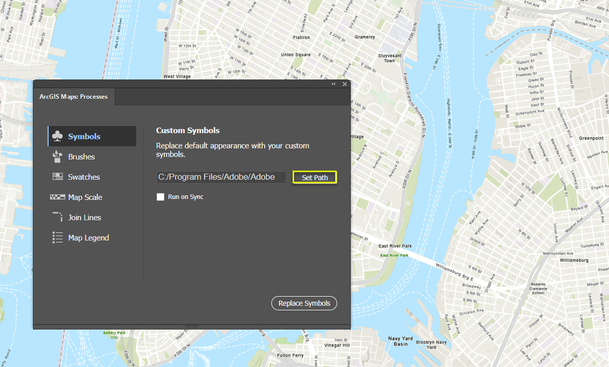
- Replace raster symbols with vector symbols—You can now use the Symbols process to replace raster point symbols with vector symbols from an Adobe Illustrator symbols library.
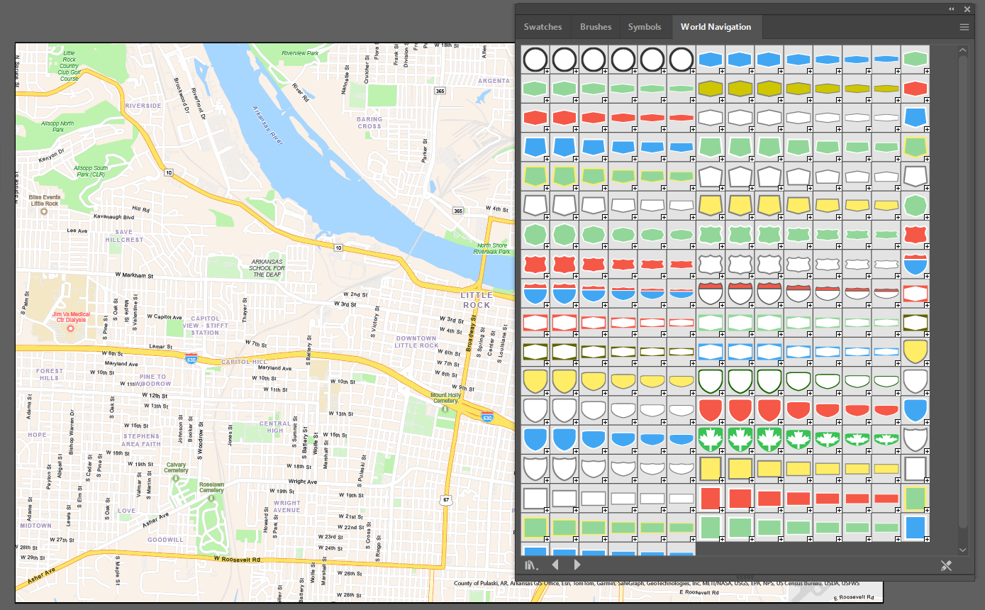
- New Adobe Illustrator symbols library—When you install the extension, your download includes the World Navigation.ai symbols library, which contains vector versions of all the highway shields in the World Navigation vector basemap. You can find this library in the Adobe Illustrator files under Presets > en_US > Symbols > ArcGIS Maps.
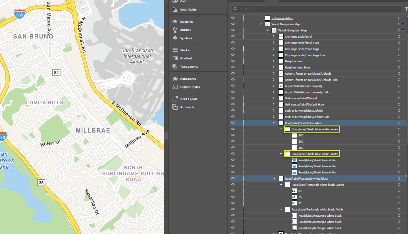
- Improved vector tile point layer structure—All the points in a vector tile layer now appear in one sublayer and all the labels appear in another, allowing you to easily select and edit all points or all labels.
- Legacy mapping profile deprecation—The Legacy mapping profile is now retired.
Bugs fixed with the October update
- Fixed a bug that caused .emf file features with transparent backgrounds in ArcGIS Pro to appear with white backgrounds in .aix exports (BUG-000154268).
- Fixed a bug that caused labels with Japanese characters to split into multiple text objects in .aix exports.
More information
For more about what’s new, see our documentation.
Do you have any thoughts about our new features? Let us know on Esri Community.
Download the latest version of Maps for Adobe Creative Cloud.
Happy autumn!
The ArcGIS Maps for Adobe Team



Article Discussion: