The 2024 ArcGIS StoryMaps Competition opened on September 4, 2024, with an ambitious challenge: tell a story about the world you want to see.
In less than two months, we’ve received story submissions from students and professionals in twenty countries. The stories fall evenly into the five competition categories, with the strongest showing in Nature and Physical Science.
• Digital Humanities and Popular Culture
• Health and Safety
• Humanitarian and Disaster Response
• Nature and Physical Science
• Planning and Infrastructure
And we’re seeing more submissions from local government organizations and professors at colleges and universities than in previous years.
Beyond the numbers, the stories are increasingly more intentional and polished. The current submissions use ArcGIS StoryMaps features like the timeline block, media actions, and map tour in interesting and sometimes unexpected ways.
Haven’t started your story? Still crafting the narrative and maps? No problem — we’ve got you covered. Read the new post, Your guide to entering the 2024 ArcGIS StoryMaps Competition, for important competition rules and storytelling tips.
Meet this year’s competition judges below for inspiration.

International Union for the Conservation of Nature
Category Judge: Nature and Physical Science
The International Union for the Conservation of Nature (IUCN), the world’s largest and most diverse environmental network, harnesses the knowledge, resources, and reach of more than 1,400 member organizations and 16,000 experts. Together they influence, encourage, and assist societies to conserve the integrity and diversity of nature and ensure that any use of natural resources is equitable and ecologically sustainable.
Watch the video in Mapping a path to protecting 30% of the planet by 2030 to learn more about current conservation efforts.
Last year, Esri and IUCN teamed up as cohosts of the 2023 ArcGIS StoryMaps Competition, which focused on conservation and local communities.
Our shared commitment to GIS for conservation continues this year as IUCN judges the Nature and Physical Science submissions to the 2024 ArcGIS StoryMaps Competition. Story submissions should answer the question: how can technology support conservation success? Browse the conservation story collection for inspiration.

Old Dominion University
Category Judge: Planning and Infrastructure
What does it take to build thriving and resilient communities that are thoughtfully designed for the future while maintaining critically important culture, history, and lessons from the past? The significance of geography and unique location-based characteristics lies at the heart of this challenge.
Take Old Dominion University (ODU) in Norfolk, Virginia, as a living case study.
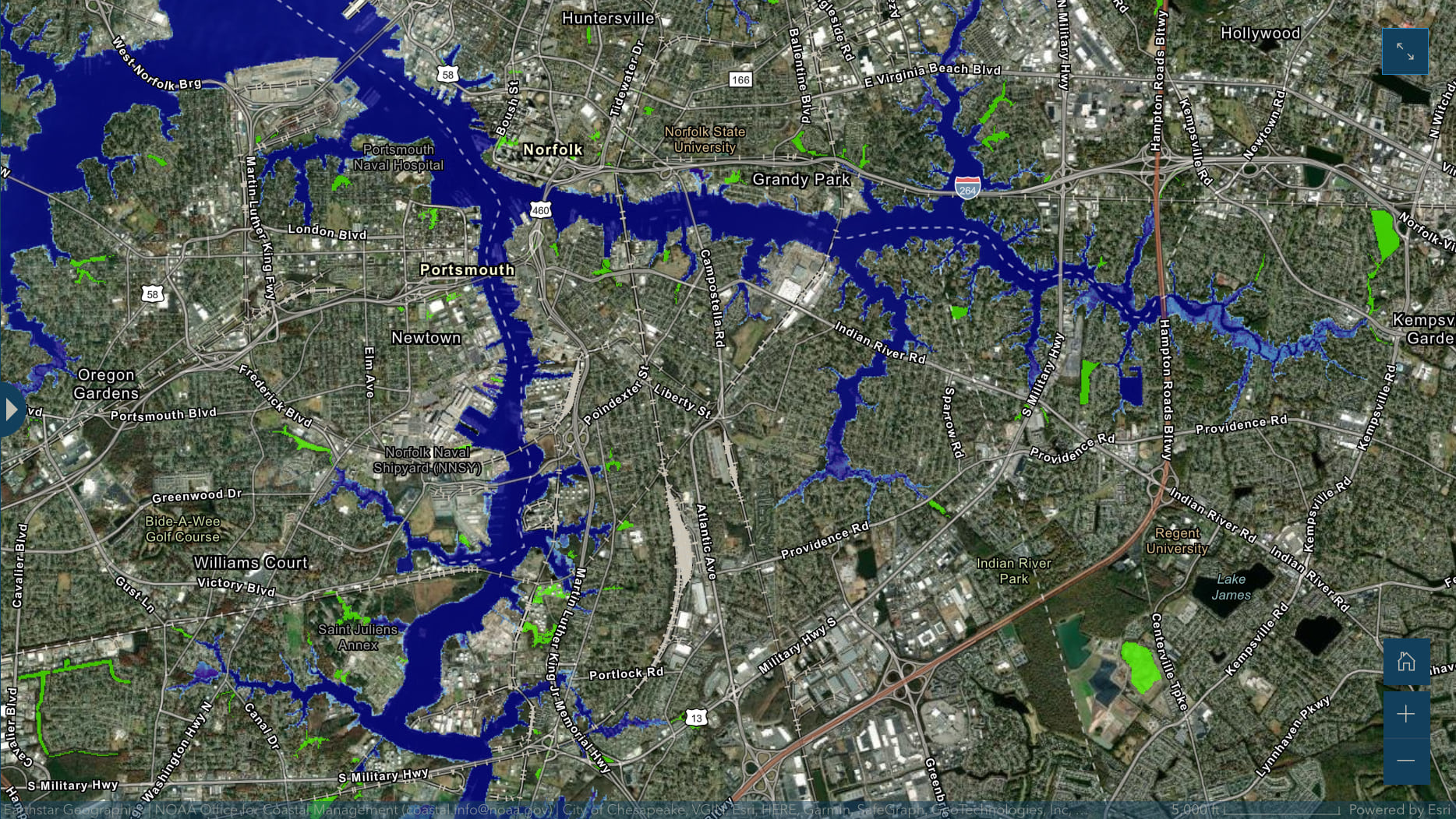
Situated on low-lying land and surrounded by water, Norfolk’s sea level is rising at a rate higher than anywhere else on the East Coast. Combined with routine tidal variations that are synonymous with coastal locations, Norfolk faces frequent tidal flooding. That coastal landscape informs the research conducted by ODU and Dr. George McLeod, the Director of the Center for Geospatial Science, Education, and Analytics at ODU.
A longtime advocate of GIS, Dr. McLeod expanded his work in 2009 to include sea level rise and coastal resilience, becoming a beacon for the state of Virginia in its efforts to create a coastal resilience master plan. Dr. McLeod and his team bring this experience to the 2024 ArcGIS StoryMaps Competition as they judge Planning and Infrastructure story submissions.
Learn more about their work:
- Rising to the challenge: Using GIS to communicate coastal resilience
- Growing Green Cities: Norfolk develops a coastal resilience plan using Esri tools to map sea level rise

Stanford Libraries Map and GIS Team
Category Judge: Digital Humanities and Popular Culture
Digital humanities and popular culture are inherently interdisciplinary — and so are maps and GIS. Spatial information offers powerful ways to visualize, analyze, and interpret the world around us, historically and contemporarily. Have you identified connections buried in the archives? Extracted data from historical sources? Mapped cultural phenomena?
Look no further for help and inspiration than Stanford Libraries, the 2024 ArcGIS StoryMaps Competition judge for Digital Humanities and Popular Culture.
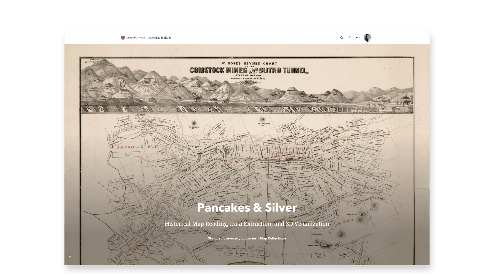
From points to pixels to polygons, the David Rumsey Map Center, Stanford Geospatial Center, and Branner Library Map Collections collaborate to provide comprehensive map and GIS services at Stanford University. They maintain one of the world’s largest publicly available digitized map collections, and their combined efforts support using maps, spatial data, methods, and technologies in research and teaching.
Walk through Stanford GIS and map resources — and a digital humanities project — with Andria Olson, former Stanford GIS librarian and current StoryMaps team content strategist.
- Unlocking history: Tips for using scanned maps in your stories
- A spatial inquiry case study: Water development in the San Joaquin Valley

San Bernardino County Department of Public Health
Category Judge: Health and Safety
How far away is your doctor, pharmacy, or vaccination location? Are police and other first responders readily available in your city or town? When it comes to health and safety, location matters. And not all locations are equal; just ask San Bernardino County Department of Public Health, the competition judge for Health and Safety submissions.
In San Bernardino County, California — geographically the largest county in the U.S. — the San Bernardino County Department of Public Health serves approximately two million residents across a large and diverse landscape. With limited resources but critical services, the county adopted a GIS enterprise system to strategically and efficiently promote and improve health, wellness, safety, and quality of life.
Their department-wide GIS work started with three main objectives:
- Provide services to residents experiencing homelessness;
- Address environmental health impacts;
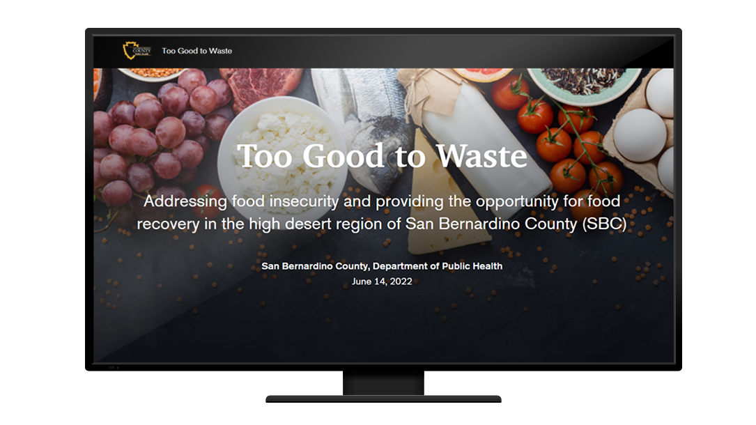
- Prevent food waste in vulnerable communities.
Read their success story in How GIS transformed San Bernardino County’s Department of Public Health into a leading health organization.

UN Refugee Agency
Category Judge: Humanitarian and Disaster Response
In local communities around the globe, individuals and families face both unexpected and systemic challenges from hunger to homelessness. And disaster takes many forms — conflict, job loss, climate impacts, and more. Geospatial stories — stories with maps — can visualize the impacts of a disaster event, track the event over time, and help organizations make important decisions about how to help.
UNHCR (United Nations High Commissioner for Refugees), or the UN Refugee Agency, was established in 1950 to provide and coordinate international relief for refugees and displaced people. Their Information Product Development and Analysis unit — competition judge for the Humanitarian and Disaster Response submissions — specializes in GIS products and humanitarian-focused stories.
Watch the February 2021 StoryMaps Live webinar with UNCHR’s Clarissa Dudenhoeffer and Cedric Vidonne to learn about their storytelling process.
Visit the UNHCR Data Visualization Platform to explore the organization’s humanitarian stories built with ArcGIS StoryMaps.

A sincere thank you to our 2024 ArcGIS StoryMaps Competition judges for sharing their time and expertise with the global storytelling community.
The companion hub Storytelling for a better world is organized by submission category and includes additional information about each judge and great resources for your competition story.
Submit your story by December 6, 2024, to become a Storyteller of the Year! We can’t wait to see what you create.


Article Discussion: