As an instructor of a GIS capstone course and the Tarrant County College (TCC) technical career program, I wanted to provide students with real-world work experience and opportunities to serve their local community and the GIS industry through their geospatial expertise.
Capstone or Final class projects are common for College and University Students. These projects are meant to demonstrate a comprehensive grasp of the fundamentals taught through the semester. For GIS classes, participating in the Esri Community Maps Program can be a great way to supplement real-world spatial thinking.
After having a discussion with Esri Education Solutions Manager, Dr. Joseph Kerski, the idea of contributing to ArcGIS Living Atlas via the Esri Community Maps Editor App was adopted to satisfy Dr. Oda’s capstone class project.
Esri’s Community Maps uses the best available data sources to produce a wide variety of multiscale, online basemaps that can serve as a foundation for any GIS task. User feedback and sharing authoritative data and service layers help improve basemaps in ArcGIS Online.
Another effective way to improve basemaps in ArcGIS Online is by using the Community Maps Editor. The Community Maps Editor is a web-based app that enables you to edit Esri’s basemaps by adding detailed features for universities, schools, parks, landmarks, and other special areas of interest.

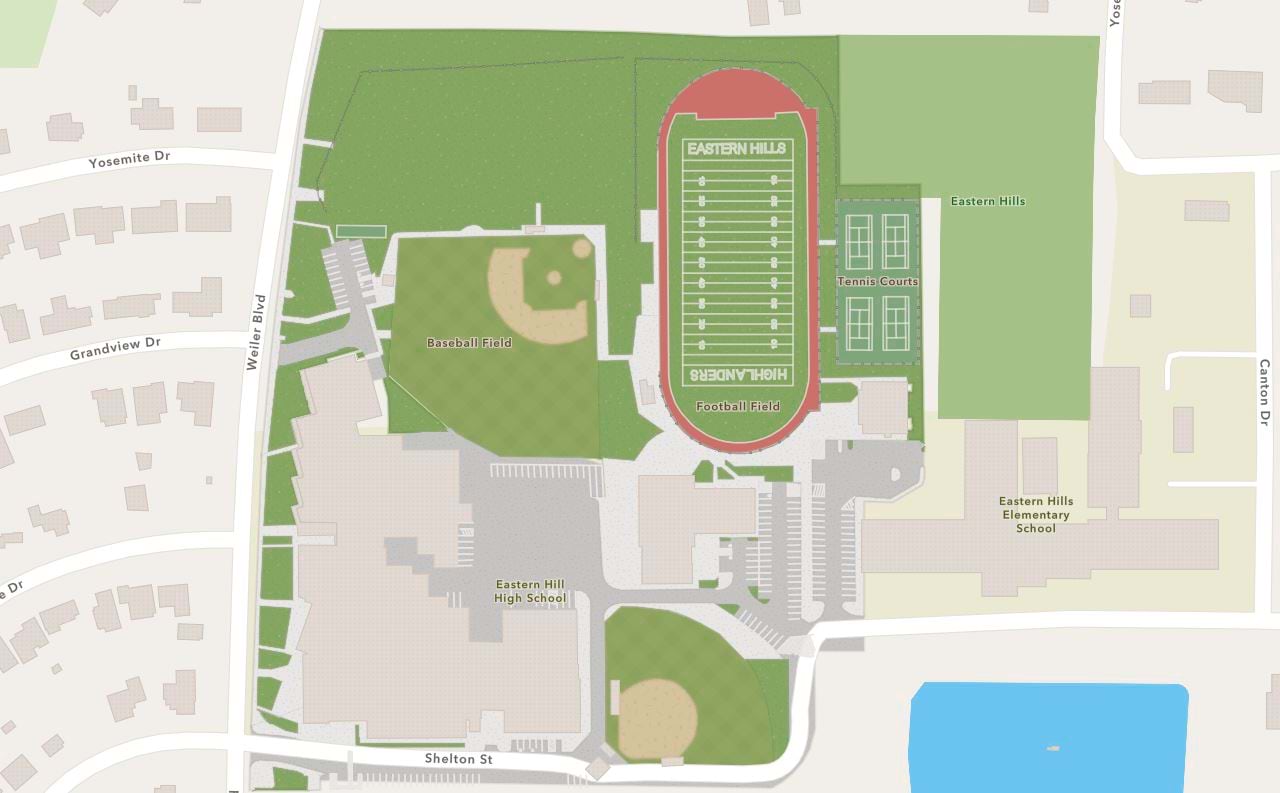
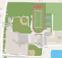
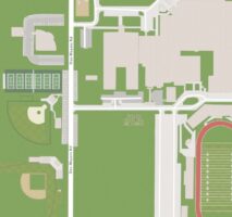
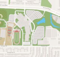
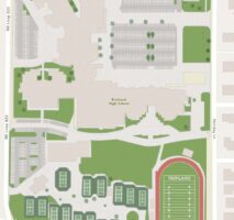
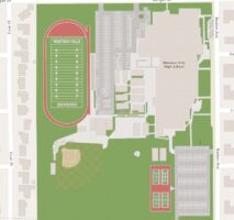
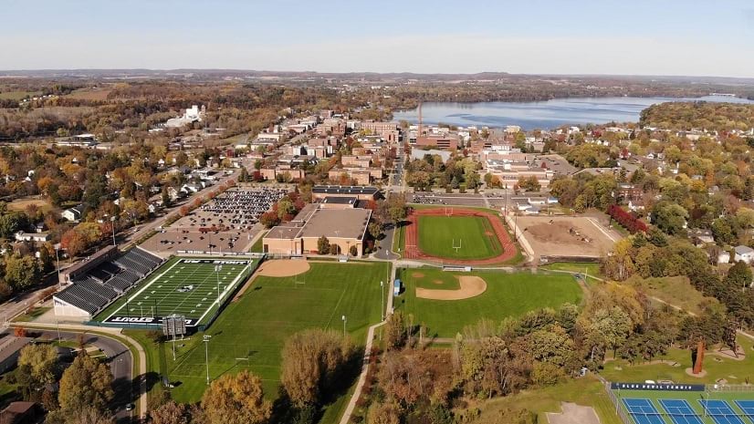
Dr. Oda found particular interest in this approach because there was a lack of GIS data to support a mapping project, and he learned that this was the fastest way to add large-scale features to the basemap. After some careful planning, the students began utilizing this tool to update various High School campuses in the Tarrant County, TX area.
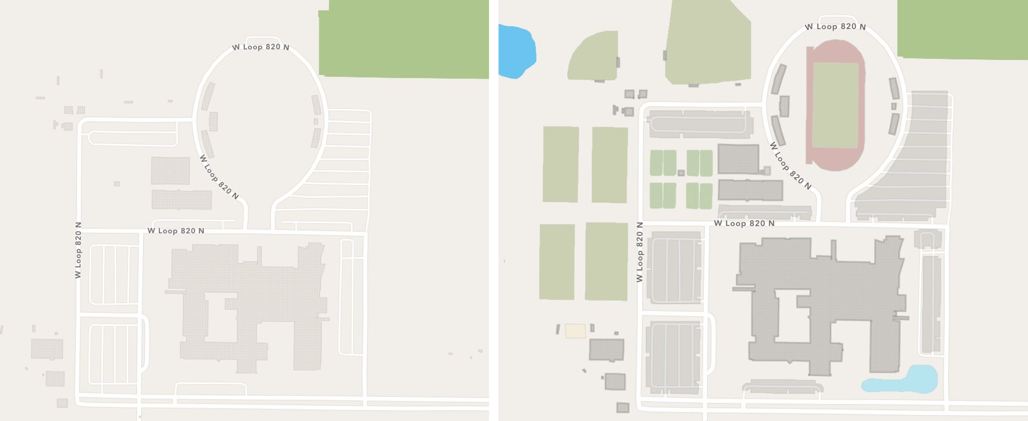
Dr. Oda’s students transformed several regional high school campuses. Adding large-scale features like sports fields, parking lots, and trees.

The community maps project was a unique project that took most of the GIS skills I've learned and distilled them into one platform. I learned how to analytically approach mapping an area as well as learning how to use the mapping tool (Community Maps Editor) itself.
This class project enabled students to master skills for developing basemap data that better describes their community while improving Esri’s basemaps.

I have had the honor of advising Tarrant County College on their innovative GIS program over the past year. During my recent campus visit there it was evident that the GIS coordinator and instructor Dr. Kirk Oda is having a positive impact not only on the students, but on other faculty, area high schools, and other campuses in the area as well.
Next semester, Dr. Oda will continue to offer this valuable capstone course, with the possibility of developing a 3D map data of downtown Fort Worth, Texas.

Learn More
If you would like to learn more about the Community Maps Program and the Community Maps Editor, try the links below for valuable resources and tutorials.
Tutorials
Enhance your area of interest with Community Maps Editor
Esri Videos
Getting Started with the Community Maps Editor App
Creating Features with the Community Maps Editor App
Contact the Community Maps Team


Article Discussion: