At Esri, we believe that the power of geospatial AI should be accessible to everyone, from seasoned data scientists to those just starting their journey. That’s why we’ve integrated robust geospatial AI (GeoAI) capabilities into ArcGIS, making it easier than ever to leverage the full potential of artificial intelligence within your workflows. Whether you’re looking for quick, effective solutions with pretrained models or aiming to build and train your own AI models from the ground up, ArcGIS has you covered.
Simplifying AI with Pretrained Models
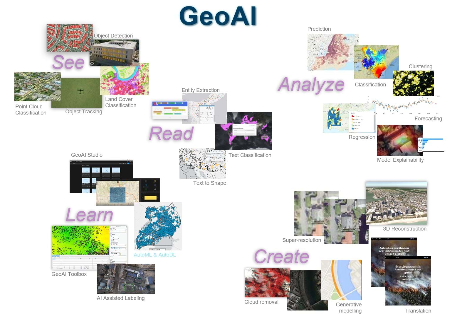
ArcGIS takes the complexity out of AI by providing more than 75 pretrained AI models, tailored for various business use cases. These models are designed to extract features from a wide range of data sources with minimal setup. The process is simple: bring in your data, pick a model, and let ArcGIS do the rest. Whether you’re working with satellite imagery, aerial photos, or other forms of geospatial data, these pretrained models offer a quick and efficient way to gain insights and make data-driven decisions.
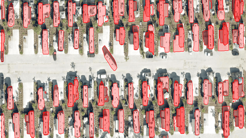
Consider a scenario where you need to identify buildings, roads, or vegetation from aerial imagery. With ArcGIS, all it takes is a few clicks to choose the appropriate pretrained model, apply it to your data, and extract the features you need. This streamlined process enables users across diverse sectors—such as urban planning, agriculture, environmental management, and others—to harness AI technology without requiring deep expertise.
For the AI Enthusiasts: Custom Model Building and Training
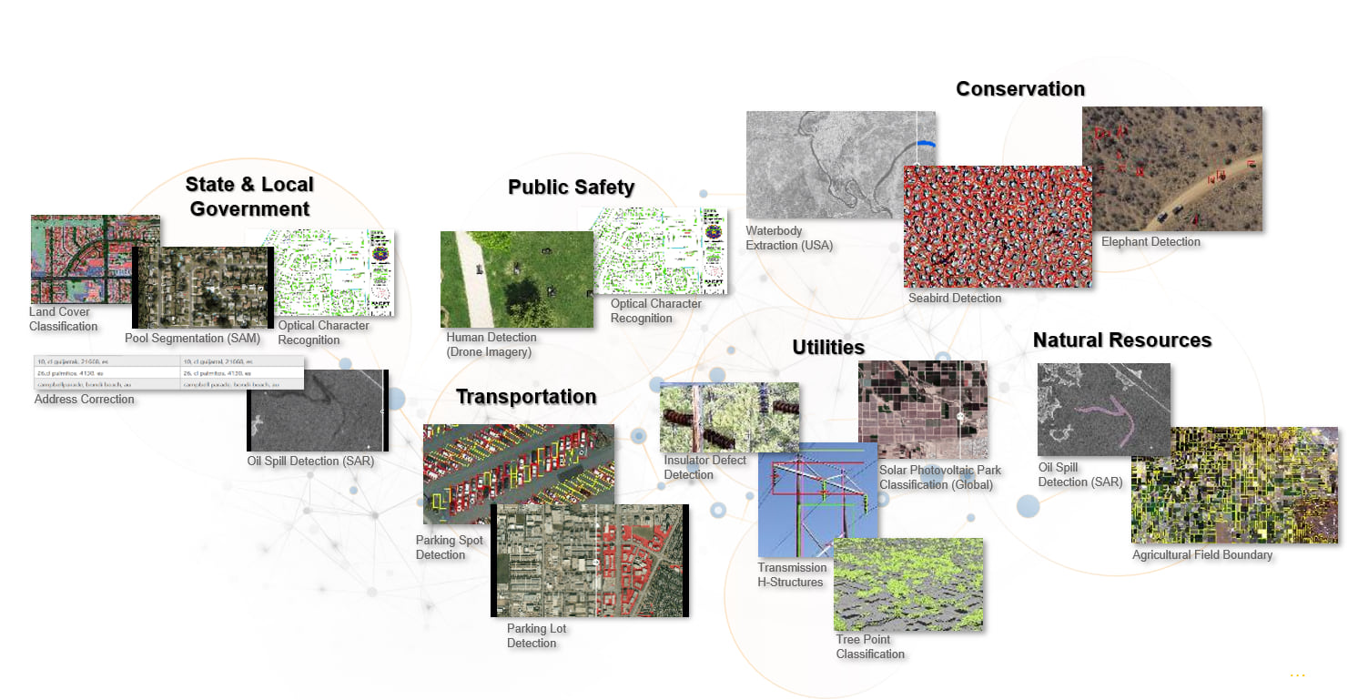
For those who want to dive deeper into the intricacies of AI, ArcGIS offers a comprehensive suite of GeoAI tools. These tools allow users to build and train their own AI models, tailored to specific use cases, requirements and datasets. Whether you’re working with imagery, video, point cloud, 3D, text, tabular, vector, or time series data, ArcGIS provides the flexibility and power needed to create custom AI solutions.
GeoAI in your desktop environment: ArcGIS Pro
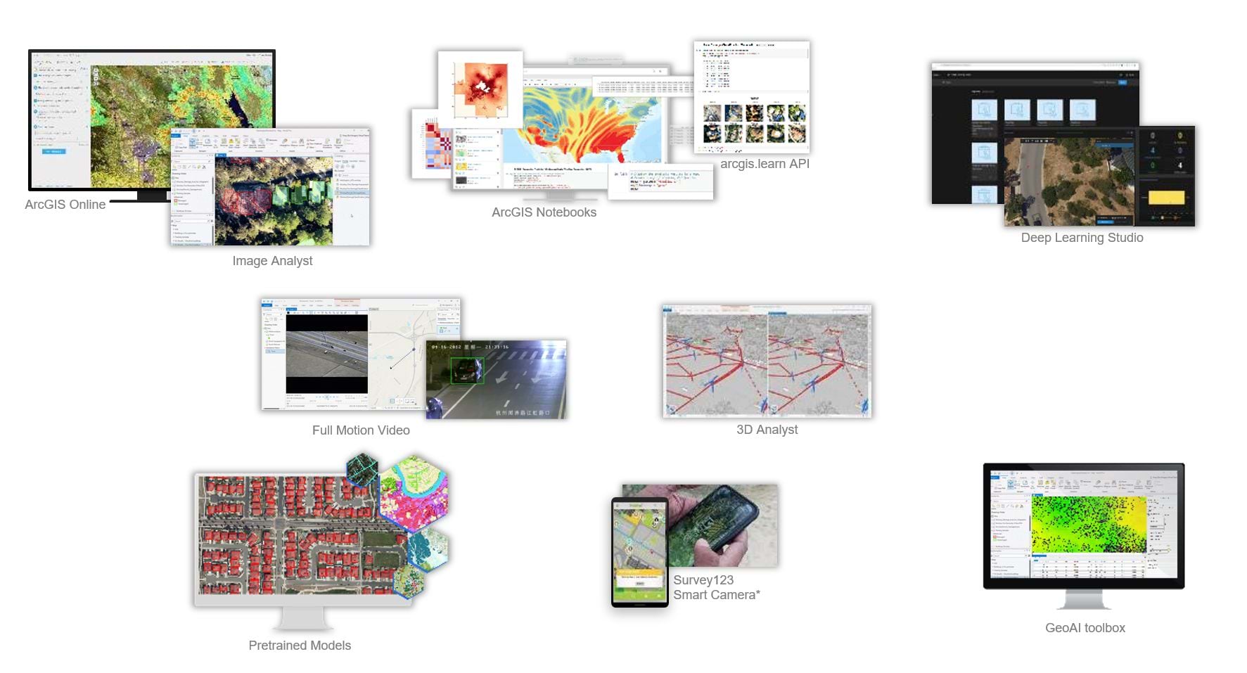
ArcGIS Pro offers a robust environment for users who prefer to work on their local machines. With a wide array of geospatial AI tools, ArcGIS Pro enables you to build, train, and deploy AI models directly on your desktop. This powerful desktop application is ideal for those who want the control and flexibility to manage their workflows locally. The tools are available in the Image Analyst toolbox, 3d Analyst toolbox and the GeoAI toolbox.
GeoAI scaled to run in your enterprise: ArcGIS Enterprise
For large-scale operations and those needing to scale their processing capabilities, ArcGIS Enterprise provides powerful AI tools that integrate seamlessly into your enterprise infrastructure. One of the standout offerings in this space is Deep Learning Studio, a focused, collaborative enterprise application designed specifically for building and deploying deep learning models within ArcGIS Enterprise.
GeoAI in a SaaS environment: ArcGIS Online
Understanding that not all users have the resources or desire to manage their own infrastructure, we’ve also made AI capabilities available through our SaaS-based solution, ArcGIS Online. This allows you to run AI models in the cloud, eliminating the need for local hardware or extensive IT support. Our cloud-based approach ensures that you can focus on what matters most—extracting meaningful insights from your data—without the overhead of managing infrastructure.
Conclusion: Empowering Every User with Geospatial AI (GeoAI)
Whether you’re a business analyst needing quick results, a GIS analyst trying to create a foundational GIS, or a data scientist looking to create custom AI models, ArcGIS offers a pathway to success. With our extensive library of pretrained models, powerful custom model-building tools, and flexible deployment options, ArcGIS ensures that every user can harness the power of geospatial AI in a way that suits their needs.
Explore the possibilities with ArcGIS and see how you can transform your geospatial data into actionable insights with the power of AI.
Resources:
Tutorials and Learn lessons to get you started with geoai in ArcGIS



Article Discussion: