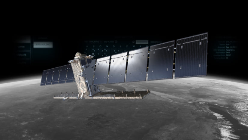
Our human visual systems collect light from a pretty narrow slice of the electromagnetic spectrum. But there is so much more light to see. Radar systems use photons with much longer wavelengths that can break through clouds and smoke, and because the energy is sent from the sensor and bounces back, radar doesn’t need the illumination of the sun; it sees in the dark. These characteristics make it particularly useful for detecting wildfire burn extents. When we compare radar scenes from before and during (or after) an important change event like wildfire, the difference can jump out at us.

Here is how to use the Sentinel-1 Explorer to identify and measure an active wildfire event.
0:00 What is radar?
0:33 Finding a wildfire and choosing two dates
1:10 Masking only wildfire burn areas
1:32 Some other examples
To learn more about what the Sentinel-1 Explorer can do, check out this blog post from pixel-slinger extraordinaire, Robert Waterman. Here’s a link to the Sentinel-1 Explorer all set up with this Park Fire change detection.

Article Discussion: