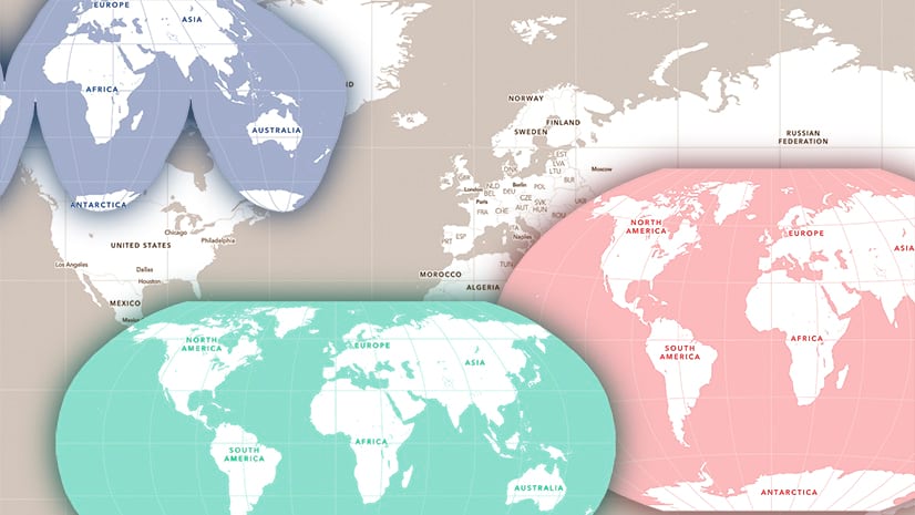
In 2023 I wrote this blog about building basemaps in different projections, using ‘Esri Data and Maps’ as a source.
This year, in support of some of the work we were doing at the 2024 Esri User Conference, I have established some more prototypes.
The styles are based roughly on the Human Geography basemap, with base, detail, and reference layers. I have included a combined (not visible) layer in the web map as an alternative.
They are:

Albers Equal Area (Contiguous USA)

Equal Earth (centered on the Asia-Pacific region)


They are available to you on the same basis as the original set:
They are creative prototypes, but they are available for you to use with your maps (They are also included in the ArcGIS Living Atlas). Because they are prototypes, I make no claims about the accuracy of the information included.
Of course, you are free to make style changes to a copy of my map styles, or to use them as a starting point for anything else you may want to do. The links above are to the web maps. Open them, navigate to the details page, select the individual layers, then open them into the Vector Tile Style Editor.
For as long as I host the projected tile packages your maps will be available online. I’m not planning to take them offline any time soon (and I’ll give plenty of notice if I am), but if that concerns you, consider sourcing some data and building your own.


Article Discussion: