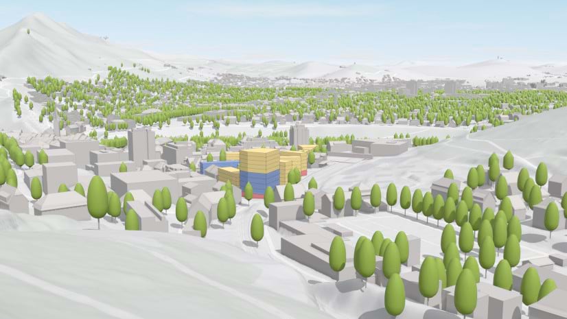
ArcGIS Urban empowers planners to integrate 3D scenario modeling into their planning processes. This provides them with dynamic visualizations and real-time analytics to support more informed decision-making.
- 🔒 Infrastructure security and privacy – Leverage your organization’s established security measures and integrate Urban into your existing security frameworks.
- 🗺️ Compliance and data sovereignty – Keep data within your local jurisdiction, so that you can more easily comply with data sovereignty laws, such as the General Data Protection Regulation (GDPR).
With ArcGIS Urban on ArcGIS Enterprise, planners can leverage the flexibility of their existing security infrastructure and use GIS data to help them visualize and simulate different 3D planning scenarios. To learn more, request a meeting with the sales team and visit the ArcGIS Urban on ArcGIS Enterprise storymap.


Article Discussion: