OpenStreetMap (OSM) is a crowdsourced, editable map of the world built by a community of mappers that contribute and maintain data about roads, trails, buildings, cafes, addresses, and more.
ArcGIS provides access to OSM data in Esri-hosted vector basemaps and feature layers. OSM content published by Esri is available to use in maps and apps, with proper license and attribution to OpenStreetMap contributors.
ArcGIS libraries
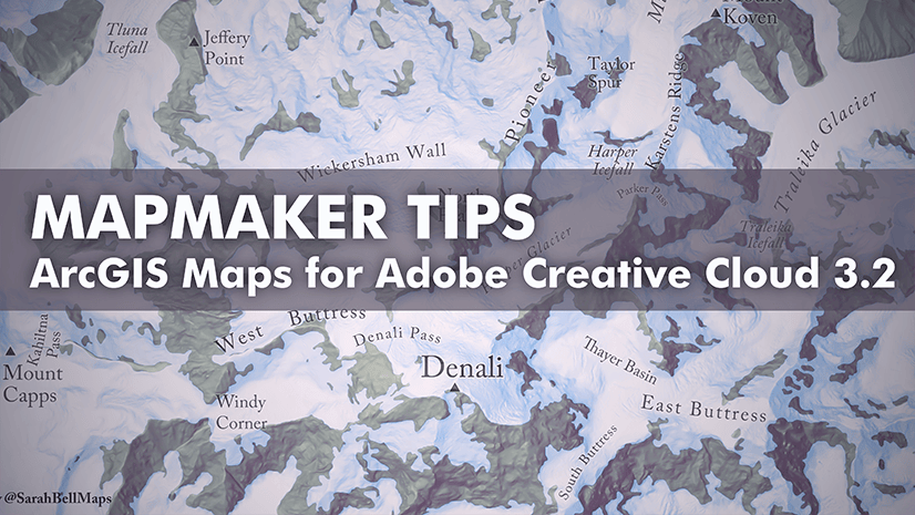
The ArcGIS Maps for Adobe Creative Cloud extension allows GIS and design professionals to create beautiful data-driven maps in Illustrator and Photoshop. A variety of basemaps and layers are available in ArcGIS Online and ArcGIS Enterprise that you can add directly into the Maps for Adobe Creative Cloud extension.
To learn more about how to install the extension, go to the product page.
In August 2023, Esri updated the Maps for Adobe Creative Cloud library, allowing easy access to OpenStreetMap basemaps. The library has many basemaps to choose from, with unique styles that can be used as is or styled to complement your brand.
OSM basemaps are made up of multiple feature or web layers that can create a great foundation for a map. These basemaps can be overlayed with other data and feature layers. The Maps for Adobe Creative Cloud library also includes OpenStreetMap feature layers for Asia, Europe, and North America.
Step 1: Add an OpenStreetMap basemap
In the ArcGIS Maps Compilation window, go to Add Content and click Overwrite from Web Map.

In the ArcGIS Libraries panel, expand Maps for Creative Cloud > OpenStreetMap > OpenStreetMap Basemaps. Add a basemap that suits your map’s style.

Step 2: Add OpenStreetMap layers
OpenStreetMap layers are also accessible in the Maps for Creative Cloud > OpenStreetMap library.
In the ArcGIS Maps Compilation window, go to Add Content and click Add Layers.


In the example above, I added the OpenStreetMap Light Gray Canvas basemap, as well as the layers OpenStreetMap Buildings for North America and OpenStreetMap Amenities for North America from the OpenStreetMap Layers library.
You can filter feature layers in the extension before syncing data into Illustrator. After adding a layer, go to the layers menu to filter by attributes.

Neighborhood maps
OpenStreetMap basemaps are great for visualizing roads, buildings, and other land-cover categories. At a scale of at least 1:18,000, building footprints are visible with clearly labeled minor streets and roads.
In this example, I drew a mapboard over a section of San Francisco, California, and set the level of detail preset to buildings.


OpenStreetMap in Illustrator
After you add your basemap and layers into the Maps for Adobe Creative Cloud extension, the map is ready to be synced to Illustrator. The vector layers imported from the OSM basemaps are organized into a detailed layer structure that can be individually selected for customization and editing. Whether you want to change your color palette or select from Adobe font options, working in Illustrator is a fun way to expand your map design skills.

View more details about this OpenStreetMap basemap in ArcGIS Online. Your use of map designs created from ArcGIS maps must include appropriate attribution to Esri and OpenStreetMap. To learn more about the terms of use, go to the ArcGIS Maps for Adobe Creative Cloud Resources page.
Reasons to choose OpenStreetMap for a Maps for Adobe Creative Cloud workflow
With the Maps for Adobe Creative Cloud extension, OpenStreetMap basemaps are synced to Illustrator as highly detailed vector layers that are ready for designing. OpenStreetMap basemaps are comprised of well-organized Illustrator layers with descriptive layer names. Their level of detail makes them a valuable resource for community mapping and a variety of mapping needs.
OSM layers are easily accessible and are updated often by volunteers gathering location data using GPS, local knowledge, and other sources of information. To learn more about OpenStreetMap, visit www.OpenStreetMap.org
Resources
Visit the ArcGIS Maps for Adobe Creative Cloud product page.
Connect with the ArcGIS Maps for Adobe Creative Cloud user community.


Commenting is not enabled for this article.