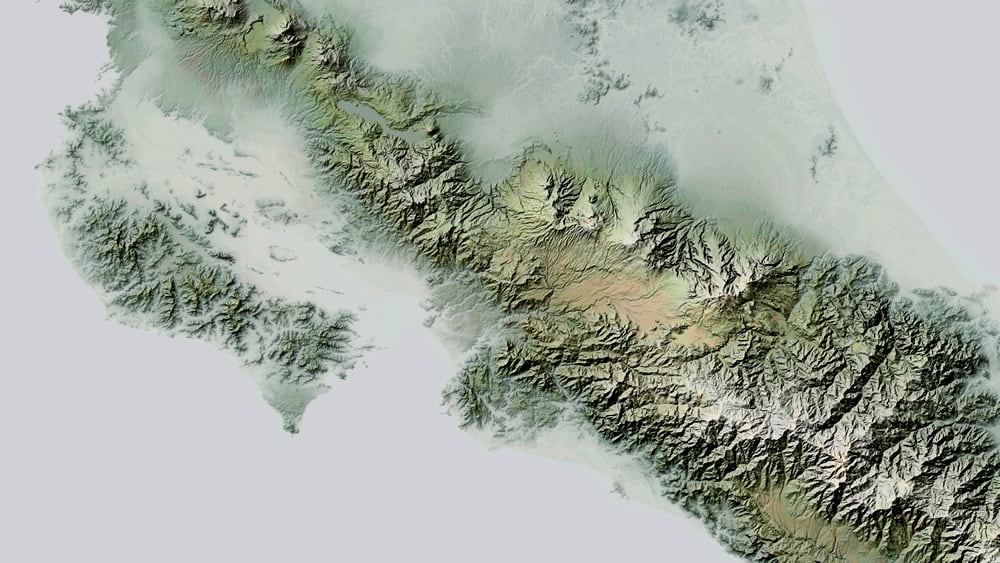
Hello! Here is a hillshaded terrain graphic of much of Costa Rica, made in ArcGIS Pro with raster functions and blend modes (and of course some delicious DEM images and the glorious World Imagery Basemap). I’ve never been to Costa Rica, but I’d like to see it someday; for now, these pixels will have to do.
Some closer looks…
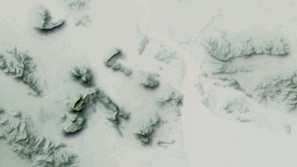
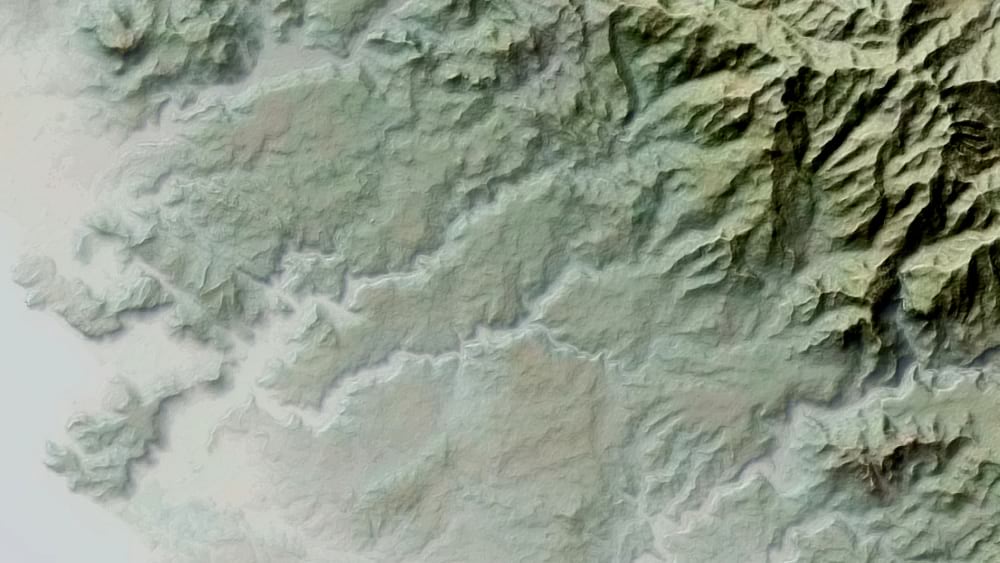
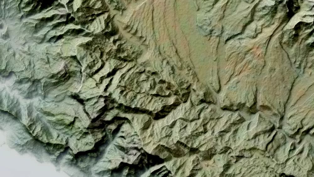
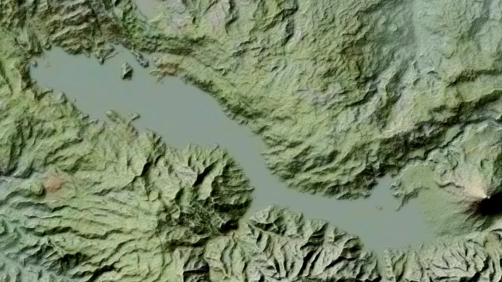
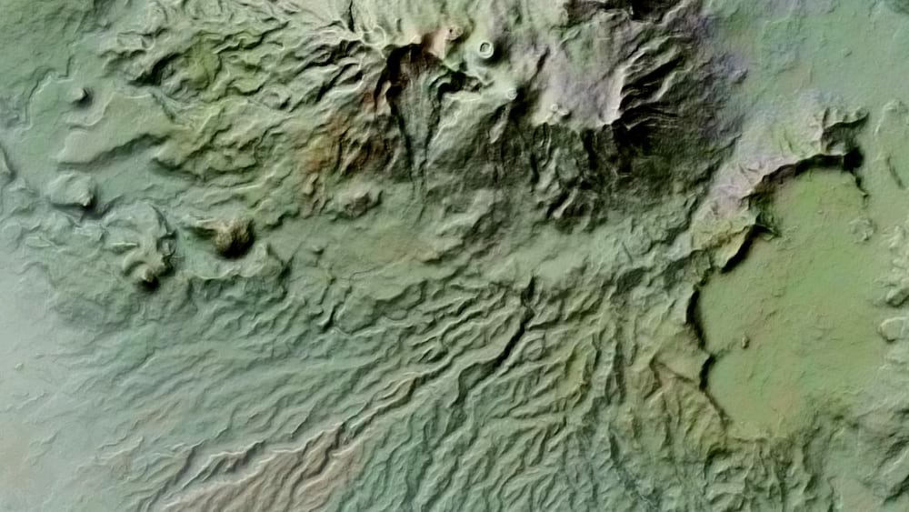
Here’s a link to a full-sized (10MB) version. Or if you are feeling dangerous, here it is as a georeferenced GeoTIFF file (97MB) that you can add to your map project.
And if you’re feeling especially dangerous, here’s a mercifully narration-free video walking through its making…
The handshake of fast and efficient raster functions with the adventure of blend modes makes making rich custom hillshades in ArcGIS Pro so simple and so fun.
Feel free to download this source DEM image (52MB), and get started painting with light and shadow in your map project.
Happy Shading! John

Article Discussion: