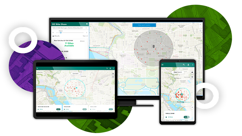
As a reader of this blog, you will have seen the announcement late last year – and hopefully already watched the video – for the creating apps for web and mobile webinar. This webinar shows how you can build one app (in AppStudio) from another (Instant App), and how this means you can maximize your output from the same starting effort.
Now you can follow along, step-by-step in your own time, and create your own web and mobile apps. In the Configure apps for hikers lesson you will:
- Customize the nearby web app
- Use the nearby web app as an input to create a native app for mobile devices
- With a small amount of code customization add text-to-speech functionality to your native app
Knowing whether you need to build a web app or a native app can be hard to figure out in the beginning, but this hiking trail scenario is designed to highlight the benefits of each, in different – but related – use cases. When you’re planning a hiking trip, a desktop sized internet connected web browser is a great place to explore all of the available information. But when you are out of cellular coverage range, or have a mobile phone with limited battery, you want to focus on how to navigate to the start location for your hike, and only see the information that’s close to you.
If you have already configured some apps and you’re ready to have a peek under the curtain at the code of a native app, the lesson ends with a bonus – you will add text to speech functionality so that the nearest destination is read out loud to the app user! Don’t panic, you won’t be writing pages of code, but with a small amount of cut-and-pasting, you can have a go at bringing your mobile trail app to life with some customization.


Commenting is not enabled for this article.