There are many ways to clip out a part of an image or raster in ArcGIS. What you choose may depend on what you’re doing. For example, if you’re using ArcMap and have a graphic, you can use the Clip button on the Image Analysis window. Or if you want to clip something as part of an automated process you can write a script or model that uses the Clip tool.
To help you decide what to use, here are the different options and the results you will get.
| Clipping Option |
Remove Inside |
Remove Outside |
| .
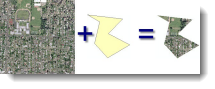
Data > Export Data (or Image Analysis window > Export)- Using Selected Graphics (clipping) |
X | |
| .
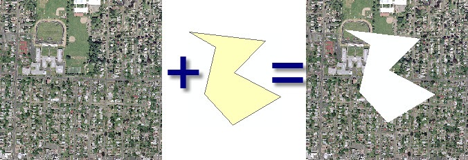
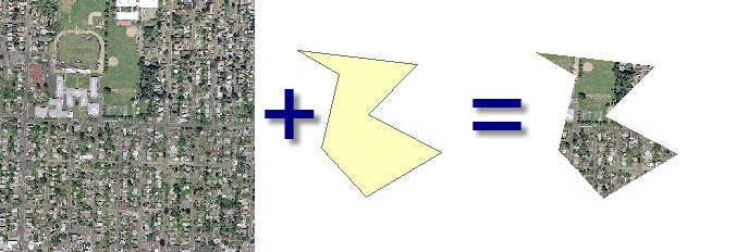
Data > Export Data (or Image Analysis window > Export)- Using Selected Graphics (clipping) + Clip Inside |
X | |
| . | X | |
| . | X | |
| . | X | |
| . | X | |
| . | X | |
| . | X* (envelope)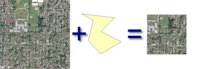 |
|
|
.
|
X |
Written by: Melanie Harlow

What are the equivelant steps for clipping a raster in ArcGIS Pro? I know there’s a Clip Raster tool/function that uses the current map extent to clip. I’m looking for a way to have more control over the clipping area, similar to cropping in photo editing.
I have a bathymetry map saved in ArcGis that I need to clip or crop a middle section from. I want to use the middle as a background. I have been on this project (trying to crop the middle) for 9 years now at 6 to 8 hours per day and have accomplished nothing! Please help me. Thank you, Bob