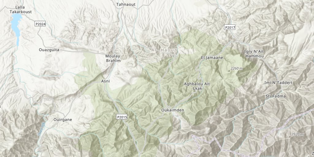
Searching for basemaps to use within your infrastructure? ArcGIS Data Appliance includes 50+ basemap styles and elevation services. Ready to deploy on your internal network.
Released annually, ArcGIS Data Appliance provides ArcGIS users with the ability to work online and on-premise. For those organizations with strict data regulations, keeping data internal is important. By deploying basemaps on your infrastructure, your organization adds extra precautions to securing your data analysis. Whether in office or in the field, you can quickly share services and collaborate within your organization.
Esri’s team of professional cartographers and data scientists are carefully reviewing and updating Esri’s basemaps with the latest available data on the market. All basemaps are vetted for accuracy and carefully prepared, using authoritative sources. Helping you to trust in your analysis.
The curated set of basemaps contains 50+ basemap styles, including vector and raster, and elevation services. Basemaps are handpicked and delivered with quality in mind. Keeping you up-to-date and confident in your decision making.

Key benefits of ArcGIS Data Appliance
- Global suite of curated basemaps
- Firewall secure for increased data protection
- Preloaded and integrated for your existing environment
- Internal network connectivity
- Collaboration access for increased efficiency

Supporting your Data Needs
Looking for Open vector basemaps? Esri offers a stand-alone option for that includes content from Overture Maps Foundation, OpenStreetMap (OSM) and many other open data sources. You can also combine both Esri vector basemaps and Open vector basemaps to get the best of both worlds!
With the ArcGIS Data Appliance, you will receive a curated suite of:
- Basemaps – Map layers meant to be used on their own or overlaid with other layers
- Reference layers – Layers intended to be overlaid on basemaps to provide reference information
- World Elevation – Elevation layers for analysis, 2D, and 3D visualizations
- Elevation analysis – Geoprocessing tool for performing analysis on elevation data
Get Started:
To get started securely sharing data on your infrastructure, email the Esri team at dataapp@esri.com.
More information on hardware and software specifications is available on the ArcGIS Data Appliance website.


Article Discussion: