The ArcGIS Online World Geocoding Service has become the go-to geocoding solution for Esri communities worldwide for its easy access and consistency across Esri platforms. Our geocoding capability has expanded and evolved over the years to offer high levels of performance while delivering accurate and high-quality results. We are constantly improving our algorithms and performance. As a result, the service now includes more than 149 countries around the globe covering more than 90 percent of the world’s population.
At Esri we make sure that users are at the heart of our solutions. We value the feedback from our user community, as it helps us guide our product development. Your input will support our goal to deliver the highest-quality geocoding experience to our users. For example, our recent enhancements for Locator View output options for city vs postal city, and rooftop location vs. curbside, are both user suggestions coming to fruition.
Want to connect with us?
Most ArcGIS geocoding users are likely familiar with the Esri Technical Support and GeoNet postings. Reporting to Technical Support helps us track and record all reported issues while allowing us to provide status back to you directly. And GeoNet, it is a good social platform to share your ideas and questions with us. If you would like to contribute your ideas for better geocoding, there are two other channels: Esri’s Community Addresses program and the Geocoding Feedback Map.
Contribute your local data to Esri’s Community Addresses program
The quality of any geocoding technology highly depends on the address data from which it is built. In the past several years, the Esri Geocoding and Content teams have been sourcing the most accurate and authoritative data available for many countries around the world. In addition, the data used in the ArcGIS Online World Geocoding Service is updated quarterly to reflect recent changes on the ground. With your help, we can make our reference data even better. Local jurisdictions like cities, counties, and states oftentimes maintain the most comprehensive and authoritative address data for their community. If you belong to one of these organizations, why not consider contributing your data for use in the World Geocoding Service?
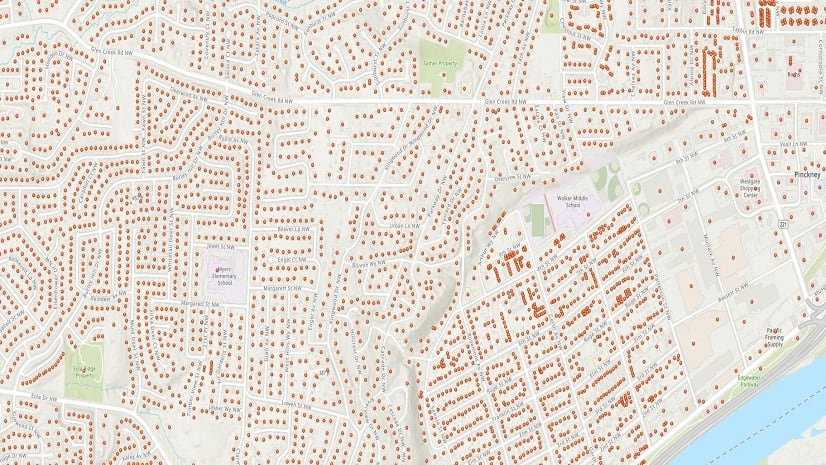
The Community Maps Program is a resource for the user community to share their most accurate and authoritative data with Esri for use in our maps, services, and data products. In August 2018, the Community Addresses program was added to the Community Maps program to support contributions towards the ArcGIS Online World Geocoding Service and StreetMap Premium locators. To date, address data contributors have added over 7 million (and counting) unique address points through this program. With their data published in the World Geocoding Service, our contributors can make it available to their users without setting up and maintaining a geocoding service themselves. This not only saves time and resources, but is also cost effective in the long run. And by working with us, our contributors also enjoy reassurance that their data meets Esri’s standards for geocoding. For more information on how to share your address data for geocoding, see Esri’s Community Addresses.
The geocoding user community can also recommend good data sources for the Community Addresses program. You can also reach out to the address data owner in your local community and ask if they would be interested in contributing to the program. For any questions, please contact us at CommunityAddressesSupport@esri.com.
Provide Feedback through Geocoding Feedback Map
With constant changes happening all around the world, we understand that local users know best. While accessing the ArcGIS Online World Geocoding Service, you may notice that a restaurant had relocated a few months back, but has not been updated in the service, that city hall is located one block up, a local street should have been renamed, or that there are missing addresses for a new development nearby. Now you can report these valuable updates using the MapViewer in the Geocoding Feedback Map.
The Geocoding Feedback Map is the quickest and easiest way to make suggestions and report simple issues related to the ArcGIS Online World Geocoding Service. Our team reviews this feedback regularly and provides updates on the status as appropriate, which you can then check on later. To ensure we can review and process the issues more effectively, please include enough details in the description. If you are able, please leave your contact information so that we may follow up with you if more information is needed.
At Esri, we are committed to delivering solutions that help you succeed. Geocoding is a strategic requirement for companies around the globe that want to visualize data and perform analysis to make key decisions and gain a competitive edge in the marketplace. We are constantly making efforts to improve the quality of our geocoding and we value and encourage feedback from our users. This helps us deliver high-quality products that serve you better. So please, connect with us now!
Learn more about the Esri Community Address program and how you can share your feedback with us.


Article Discussion: