Tools
Spatial data science tools

Resources for teaching and research
Spatial data science solves problems by transforming data into useful information. It enriches traditional data science by incorporating spatial characteristics such as proximity, coincidence, and connectivity in creating models and making predictions. Spatial data science gives students unique skills and advantages that are in high demand in the workplace. This web page is your first step in learning how to incorporate spatial data science into your curriculum through capabilities, examples, success stories, and training.

Combine powerful and out-of-the-box analytic tools with integration into external frameworks.
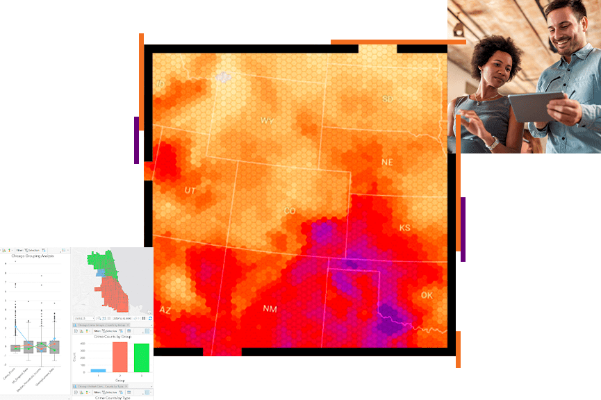
Spatial data science tools
Lessons related to spatial data science and teaching materials
Learn Pythons libraries and scripting
Learn about data science analytics examples, leveraging machine learning, deep learning, and artificial intelligence.
Access previously recorded webinars on the topic of spatial data science in higher education.
User story
The University of Wisconsin-Madison’s data science major has a key differentiator: a geospatial data science track that introduces students to GIS.
User story
The University of Vermont strengthens student skills in a new course that combines GIS technology with the statistical programming language R.
USER STORY
Dr. Tyler Davis, professor at the College of William & Mary, pioneers a multifaceted class in data reproducibility and problem solving.
user story
Adjunct professor introduces concepts of mapping and programming through ArcGIS Notebooks.
article
Esri and Microsoft join the University of California San Diego (UCSD) in teaching practical geospatial data science and deep learning.
USER STORY
At USC, students learn computer programming and automation for GIS technology, gaining skills in digital mapping and applying a geographic approach.
Request help from Esri’s education team to add spatial data science to your teaching and research.