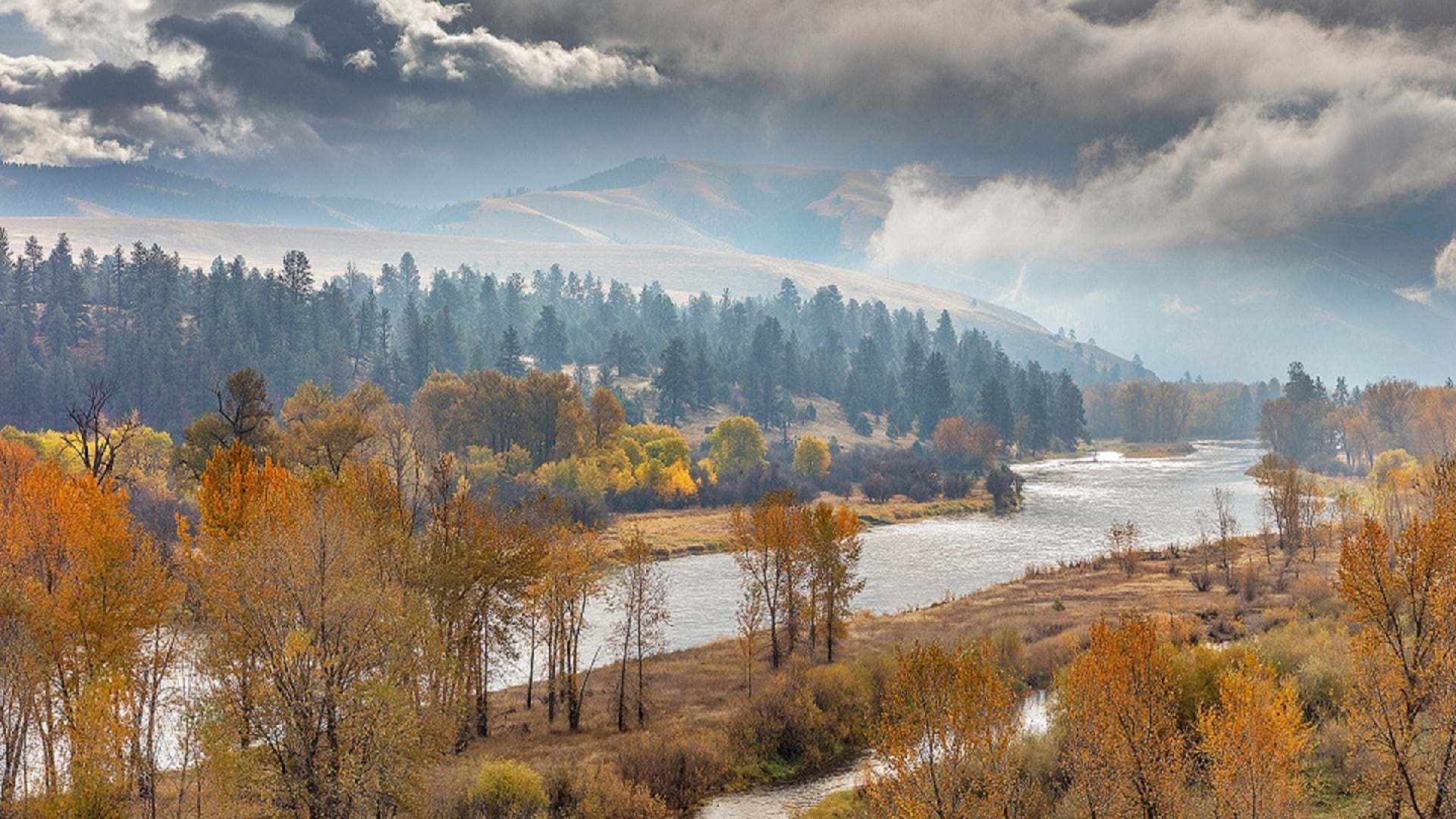
In Montana, an ArcGIS Online App Helps Promote Conservation
Esri partner GCS created an ArcGIS Online application that would assist in assessing, comparing, and prioritizing conservation efforts.
January 2025

Esri partner GCS created an ArcGIS Online application that would assist in assessing, comparing, and prioritizing conservation efforts.
Tutorial | ArcWatch
Join a Table to a Feature Layer in ArcGIS OnlineIn this tip, learn how to add a .csv file to a map in ArcGIS Online and join it to a feature layer.
There's a pressing need for skilled spatial data scientists across industries and disciplines.
A home warranty company uses state-of-the-art GIS technology for its residential structural claim evaluations.
A thorough assessment of true cost starts with an understanding of where products come from and other details.
Updated American Community Survey data is available in ArcGIS Living Atlas of the World.
A February 2025 conference will highlight how national government agencies use ArcGIS to show leaders how and where to act.
In anticipation of the 2025 Imagery Summit at the Esri Federal GIS Conference, review imagery solutions from the 2024 Esri User Conference.
A new replacement reporting workflow leverages ArcGIS Pro to help configure and automate generation of roadway reporting data products.
Review highlights of the new and improved capabilities for raster analysis introduced in 2024.
Read an overview of ArcGIS Online improvements and new capabilities, with links to additional details.
GIS technology helped power a swift response to a bridge collapse.
Drones and a shared mapping solution are helping guide the largest wind energy project in the Western Hemisphere.
A digital twin is helping Brisbane, Australia, build a major public transit project and prepare for the 2032 Olympics.
Want to validate your GIS and ArcGIS skills? Learn about the Esri Technical Certification program and find the one that's right for you.
All live training seminars are recorded and available to view on Esri Academy.
In this course, explore the latest ArcGIS capabilities and learn how GIS is being used to create a resilient future.