displaying 2132 results
Reporters use GIS to provide context and help readers make sense of a phenomena or trend.

Fulton County, Georgia, employs the ArcGIS platform to create 2D and 3D maps of its building exteriors and interiors to easily access facility...
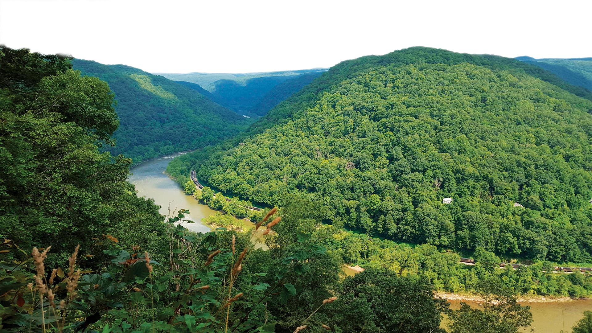
In Oak Hill, WV, city business now gets shared via story maps.
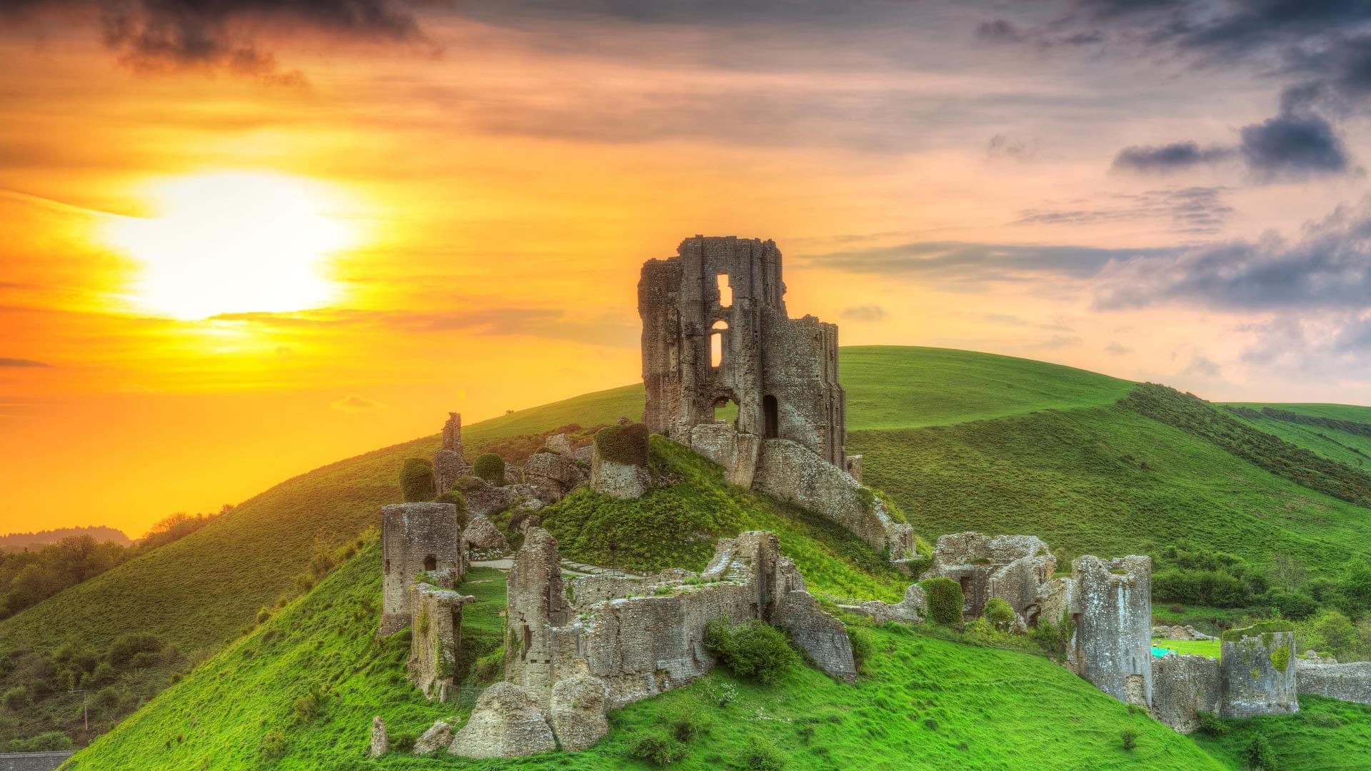
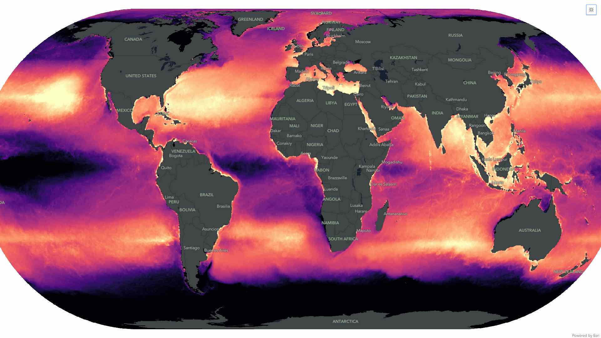
With ArcGIS Image for ArcGIS Online, staff at the UK’s National Trust can better visualize heritage sites and make more informed decisions.

Learn how to visualize and analyze imagery, discover how to best prepare for change, and get motivated to take a certification exam.

To plan, visualize, and build smart communities, local governments are tapping Esri partners around the world to help them implement...

Esri Provides Free App for Visualization of GIS and KML Data

Underground Visualization of Utilities at Green Square Complex in Raleigh, North Carolina
The Esri 2020 Developers Summit, the 15th annual event “for developers, by developers,” was livestreamed to thousands.

Utopian Disruption uses GIS to envision an ideal city space in 3D.
Purchasing a home is a complex and expensive process, particularly in rapidly growing cities such as Denver, Colorado, where the increase in…
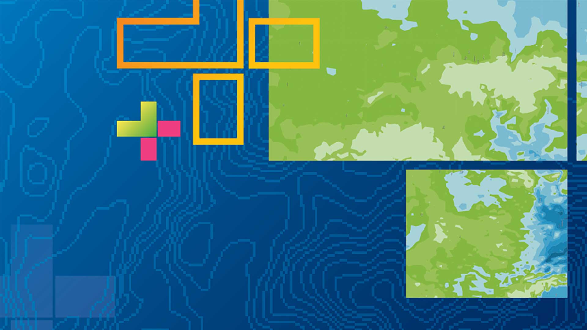
ArcGIS 10.5 provides new capabilities that enhance analytical and problem-solving and makes it easier to connect to and integrate many types of…