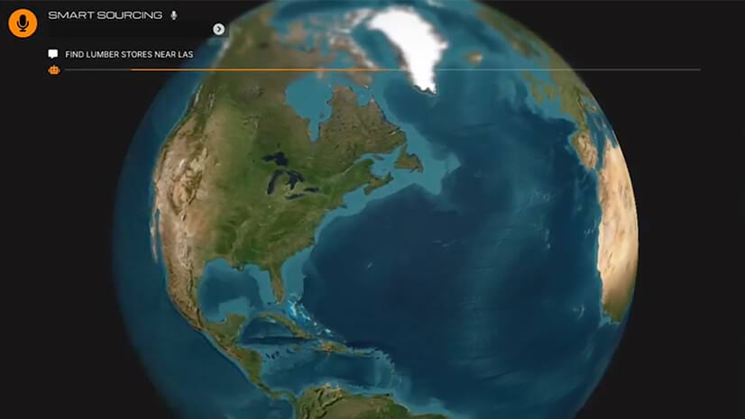
Consumers are voting with their wallets for sustainable business practices. Leading global manufacturers and retailers are listening, adopting an approach called sustainable sourcing that uses location intelligence to deliver responsibly produced goods.
The practice of sustainable sourcing takes different forms across sectors like agriculture, forestry, mining, and textiles. Grocery stores verify the provenance of local produce. Furniture stores partner with wood suppliers that preserve biodiversity. Precious metals producers carefully monitor mining waste.
There’s a consistent foundation: all these companies create visibility into the supplier network to reveal how farms, forests, and factories are performing against sustainability metrics like emissions and soil quality. This kind of insight is called location intelligence, and it’s generated by geographic information system (GIS) technology that ingests, analyzes, and displays place-based data on smart digital maps.
Companies that implement sustainable sourcing—whether independently or with the help of third-party certification programs—tend to rely on GIS for data, analysis, and reporting.
Location Data Points to More Sustainable Sourcing
There’s value in a simple map documenting the location of critical supplier operations. But the key to a smart map is additional data—information layers that add context about environmental and human-made conditions in a given location.
For sustainable sourcing, these data layers often include satellite imagery to monitor deforestation, sensor data measuring water or fertilizer use per acre, or stats showing average pay for workers. Smart maps reveal at a glance whether a supplier is meeting sustainability standards.
Before analysts can make these maps, they need the right data. GIS technology provides information such as imagery and demographics. Manufacturers and retailers can gather additional data by partnering with suppliers to enlist collection technologies like mobile apps, drones, or smart sensors. That information feeds into centralized GIS databases and dashboards, minimizing reporting errors, avoiding delays from manual data sharing, and delivering a comprehensive, up-to-date view of the sourcing landscape.
Turning Information into Action
For truly sustainable sourcing–the kind that ensures long-term availability of raw materials—a near real-time snapshot may not be enough. Sustainability requires a level of prediction to understand not only how suppliers stack up today, but whether their business practices are built to last.
Predictive spatial analytics—a feature of GIS technology—reveals, for example, whether a supplier’s reliance on fossil fuels will become cost-prohibitive if oil prices rise. Such modeling can also show the feasibility of suppliers switching to clean energy based on locally available resources, and whether those changes would significantly reduce carbon emissions. These insights can guide next steps for manufacturers and retailers—new partnerships, product strategy adjustments, or equipment investments—with greater precision and efficacy.
GIS-powered analysis can also incorporate external data, like climate predictions, to test suppliers’ resilience against events such as worsening wildfires, shifts in growing conditions, or sea level rise. This advanced awareness helps suppliers shore up operations against potential hazards, while empowering manufacturers and retailers to protect their supply chains by working with producers that are actively managing climate risks.
Ultimately, sustainable sourcing is about building resilient partnerships between retailers, manufacturers, and suppliers—partnerships that will withstand imminent disruptions and long-term challenges. Technologies like GIS create digital spaces where all players can share and monitor data, make investment decisions, and work together toward business practices that serve people, planet, and profit.
The Esri Brief
Trending insights from WhereNext and other leading publicationsTrending articles

December 5, 2024 |

July 25, 2023 |

November 12, 2018 |

April 1, 2025 |

February 1, 2022 |

April 29, 2025 |


