A corporate department long viewed as a cost center is carving out a new reputation.
Corporate real estate teams are using digital technology to expand beyond important but mundane tasks like lease renewals and into strategy. With smart maps, these professionals help executives uncover new sources of revenue from existing properties and business opportunities competitors have missed.
They’re doing so as developers seek land and property for everything from residential housing and sports arenas to new energy sites and recreational retreats. According to a recent survey by commercial real estate firm JLL, 62 percent of decision-makers believe they must achieve better utilization of their corporate real estate portfolio.
Innovative real estate groups are using geospatial technology known as a geographic information system (GIS) to achieve this optimization. Like a grandmaster before a chessboard, a real estate leader equipped with a basemap of company assets can quickly spot opportunities, gaps, and risks others don’t see.
In industries as diverse as natural resources, retail, and health care, a smart map with vital property statistics—acreage, value, zoning, infrastructure, accessibility, carrying costs—can suggest potential uses. That might mean transforming a shuttered hospital into multifamily housing, converting a former mineral extraction site into a solar energy farm, or transferring unused land to a conservation group for preservation and recreation.
Real estate groups looking to take a more strategic role should consider these four keys to becoming a revenue adviser.
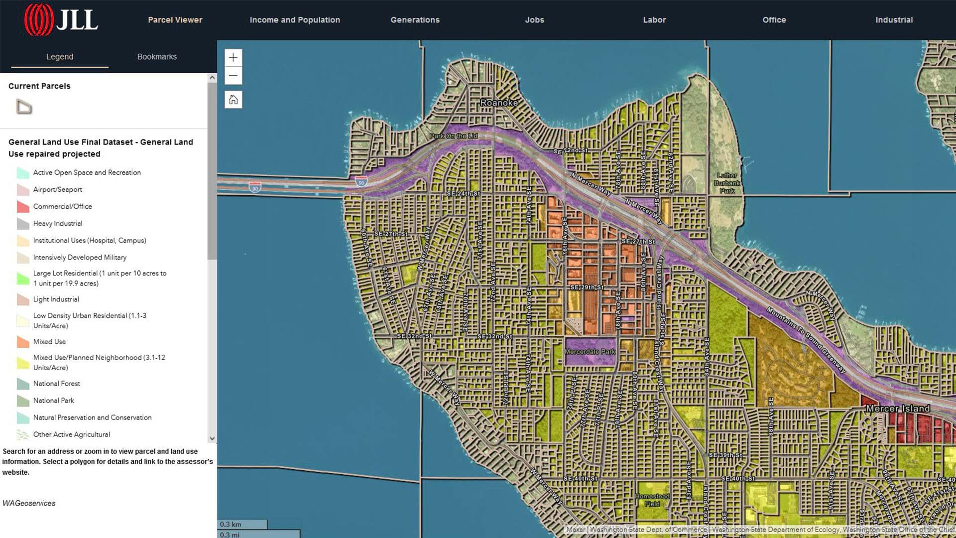
Key 1: Establish the Operational Basemap
Given several weeks or more, most real estate teams can assemble a dossier on any property in the corporate portfolio. But the team with that information always accessible on a smart map is a CXO’s MVP.
The real estate group at one Fortune 50 oil and gas business used this technique as part of a corporate push to generate cashflow from thousands of assets and land parcels. The first step was to consolidate all the company’s property data in a GIS database.
With that backbone, the firm created an operational basemap—a centralized view of its real estate portfolio. The tool, built with geospatial technology and accessible across the enterprise, allows any knowledgeable party to contribute insight on potential asset dispositions. Now property analysis that once required eight months and the input of 30 employees can be accomplished in seconds.
An operational basemap is foundational to each of the following steps. By consulting a map populated with data on land and facilities, real estate teams can quickly advise on the highest, best use for company property.
Key 2: Understand the Broader Organizational Mission
To advise decision-makers, real estate teams need to consider the company’s overall strategy—not just narrow departmental goals.
For a company focused on supporting local communities, real estate analysts could identify opportunities for land that might be sold for conservation or recreation purposes, parcels with high potential for solar energy development, or office buildings primed for conversion to residential housing.
For an industrial equipment manufacturer looking to grow sales in a particular market, the real estate team can analyze municipal permits and zoning changes. Sites slated to become manufacturing plants, retail plazas, or warehouses would tip the sales team to opportunities to sell excavators, dump trucks, and road graders.
That location insight could lead to a burst of sales—and it starts with a real estate group whose geospatial technology skills support the company mission.
Key 3: New Data Reveals the Highest, Best Use of Real Estate Assets
Certain companies are always on the lookout for new buildings to acquire, outdated facilities to renovate, or land to dispose of.
Before greenlighting such moves, executives want data on risks, liabilities, and benefits. A real estate team armed with location insights serves as a strategic adviser, providing a basemap of corporate properties with data on each asset, including:
-
- Environmental regulations
- Square footage
- Zoning
- Foot and vehicle traffic
- Energy usage
- Physical and natural hazards
A prominent national lab used a GIS map loaded with location data to identify seven new sites that complemented the organization’s multi-decade expansion plan—a task that would have been daunting without an operational basemap.
If the City of Miami opens the bidding process on a new casino or sports arena, a corporate real estate team could search its geospatial database for properties attractive to the developer. By quickly filtering a smart map, analysts can identify properties with the right acreage, road access, parking potential, and neighboring businesses.
Key 4: Know the Audience When Communicating Insights
To communicate effectively with executives, innovative real estate teams are embracing interactive maps and detailed infographics focused on metrics like ROI. With location software, they can tailor these analyses to their audience.
When one of the country’s largest commercial real estate firms began using geospatial technology not just to analyze information but to tell stories, win rates rose for the sales teams using GIS.
To the CEO of a mall developer, for instance, charts detailing a site’s performance might tell only part of the story. Placed on a map, that same data shows executives how foot traffic patterns at different times of the day correlate with fluctuations in store visits, as well as the demographic groups the site is attracting. With that insight, the sales team might pitch a vacant retail space to a spa owner rather than an indoor golf simulator.
These four keys can help a real estate group transform from cost center to strategic asset—but they’re just the beginning. A basemap is endlessly customizable—able to provide context to the questions Which properties can we dispose of right now? and What can we buy in the next five years?
Armed with location insight, real estate teams can look forward to a role that will only grow in strategic importance.
The Esri Brief
Trending insights from WhereNext and other leading publicationsTrending articles

December 5, 2024 |

November 12, 2018 |

July 25, 2023 |

February 1, 2022 |

March 18, 2025 |

May 28, 2025 |