At a recent tech conference, manufacturing executives representing a spectrum of goods and services found common ground: the importance of location in nearly every area of the enterprise.
The manufacturing enterprise supports many business models, including elements of retail, consulting, and software development. Companies as diverse as recreational vehicle maker Polaris and banking technology pioneer Diebold Nixdorf—both of which presented at the conference—have found that answering “where” questions unlocks insights into business improvements.
One form of enterprise software known as geographic information system (GIS) technology is quietly answering questions like, where should we sell our products? And, in which environments do our products perform best?
Innovative Techniques Inside the Manufacturing Enterprise
Speakers at the conference revealed how they solve business problems by analyzing the role of location in purchasing decisions, product development, and consumer trends, among other applications.

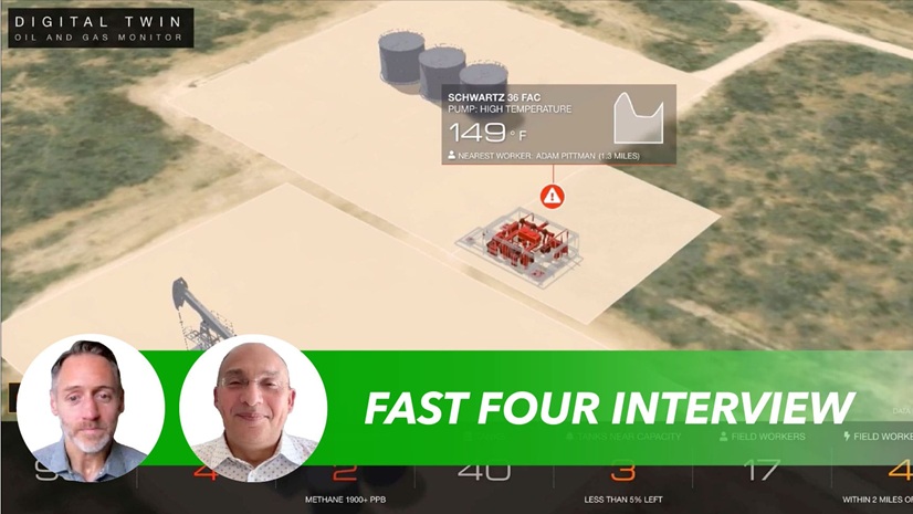
R&D teams are using GIS to augment smart products with new features, like a navigation app for Polaris’s off-road vehicles. Location-aware devices also give designers visibility into how products perform in the field—a “bites to bolts” feedback loop, as Polaris’s GIS lead Charles Skelton put it in his presentation.
Polaris also employs GIS as a business development tool, finding locations near popular trails that would be ideal for outfitter outposts renting ATVs, snowmobiles, and Polaris other vehicles.
By contrast, Diebold Nixdorf, which makes ATMs and other forms of banking technology, has adopted a model of advising clients on branch transformation—a top priority for financial institutions (FIs). Its advisers use GIS to help banks rightsize networks and customize offerings, ensuring that Diebold Nixdorf products end up in the environments where they’re best suited.

As manufacturers confront an uncertain commercial landscape, GIS is providing answers across many areas of the manufacturing enterprise.
Off Road, but Still on the Map
Polaris’s off-road vehicles are prized for their ability to explore remote, rugged terrain that isn’t detailed on conventional maps, but drivers still need to know their location to steer clear of private property and hazards, and to reach their destinations safely.
Polaris developed a GIS-based application called RIDE COMMAND to meet that demand, offering it via state-of-the-art in-vehicle displays. With access to millions of miles of verified trails, as well as helpful waypoints like trailheads and gas stations, the app enables drivers to plan trips and coordinate locations with friends.
A more advanced feature, RIDE COMMAND+, allows drivers to monitor charge and fuel levels and diagnostic alerts on their machines.
This kind of connected feature is a boon to customers—and to Polaris engineers, who are using location-based insights to build better products. For instance, designers rely on GIS to study how altitude affects the performance of powertrains or fuel mixtures, leading to design improvements.
From Making the Right Products to Finding the Right Markets
Product development is ultimately just one piece of the manufacturing enterprise.
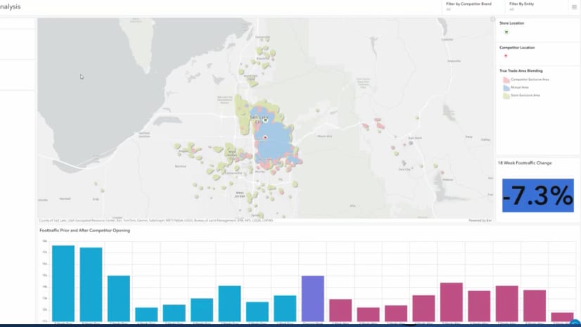
For manufacturing leaders, a map is also the natural tool to answer questions such as, where do my customers tend to shop? Or which neighborhoods in this market are the best fit for these services?
At Polaris, maps help planners find off-roading destinations favorable for vehicle rentals. At Diebold Nixdorf, maps provide a similar value in a very different context. Location technology helps FIs deploy the right mix of touchpoints and adapt physical networks to the increasingly digital nature of banking.
At the conference, Marilyn Howe explained how GIS empowers Diebold Nixdorf clients to serve their own customers’ needs. Dashboards loaded with location data indicate areas that have deposit potential yet are underbanked. More granular forms of data, like psychographic profiles, help credit unions and other FIs determine which products and services will resonate with residents.
Understanding which kinds of customers are located where enables useful practices like suitability analysis. Diebold Nixdorf can help clients launch digital or mobile products in areas with high technological aptitude—which in turn puts its products in a position to succeed.
The Location Advantage Across the Manufacturing Enterprise
“Where” questions also extend to product and customer support. At Diebold Nixdorf, GIS powers a dashboard that tracks crime incidents and ATM threats that could impact banking clients. Meanwhile, Polaris analysts used GIS to test cell phone signals, identifying providers with the strongest coverage and ensuring customers stay connected in the field.
As the manufacturing industry searches for new forms of growth, location intelligence is supplying companies with a precise picture of where and how products, strategy, and customers align.
The Esri Brief
Trending insights from WhereNext and other leading publicationsTrending articles

December 5, 2024 |

November 12, 2018 |

July 25, 2023 |

February 1, 2022 |

November 18, 2025 |

November 24, 2025 | Multiple Authors |


