Business leaders have become emergency planners as they work to protect employees and customers from the threat of COVID-19—even while rules for business operation change by the location and the day.
Though instincts will serve these leaders well as they plan, instincts are best paired with reliable data, analysis, and context. That’s why some experts advise business and organizational leaders to team up with GIS (geographic information system) analysts to plan business reopenings in locations around the world.
Tuning Reopening Decisions to Local Conditions
For every county and region, the COVID-19 reality looks a little different—in some cases, markedly different. As executives deliberate when to reopen an office campus, manufacturing facility, or warehouse, they should consider government directives as one part of a broader equation. Equally important is a business’s assessment of conditions around its facility.
Most executives are designing phased reopenings, as noted in this WhereNext Think Tank discussion. In areas where COVID-19 cases have plateaued, for example, a facility might open at 75 percent occupancy, with common areas closed and special rules for meetings and visitors. In counties where infection rates are rising, a facility could reopen with just 25 percent of staff on-site, no visitors, and stringent daily testing.
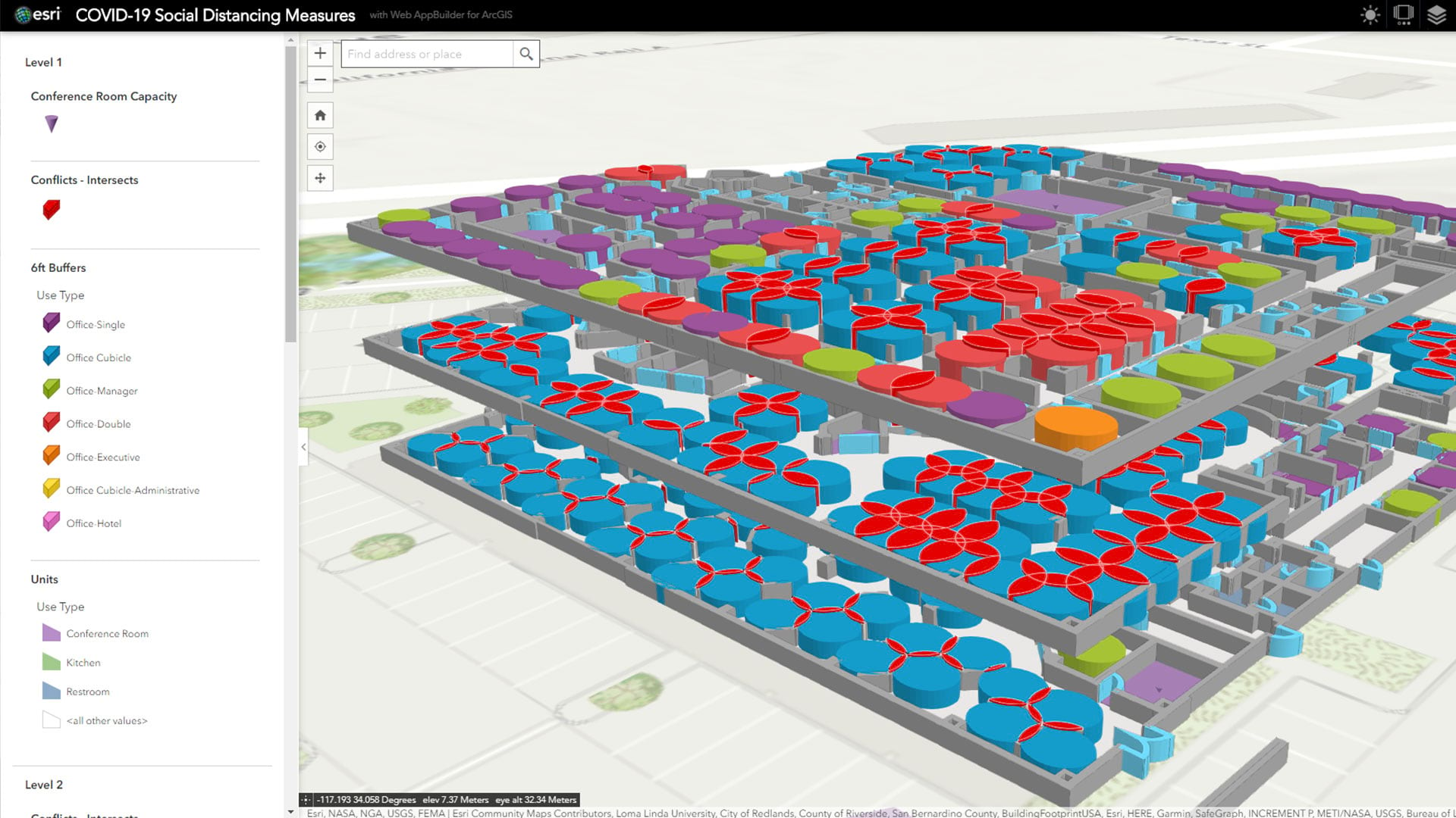
To make those decisions, executives will work with GIS professionals to analyze location data and create a common operating picture of the communities around their facilities.
Contact Tracing and Its Limitations
Investigations of Asian countries that have passed peak COVID-19 infections show that successfully reopening economies depends on a strong testing infrastructure and ability to conduct contact tracing on infected people. When someone tests positive, contact tracing examines that person’s interactions with others to identify who may have been exposed.
Tracing can happen in several ways, including through simple phone-based interviews. More rigorous methods involve the use of smartphone apps that detect a person’s proximity to others—a method at the center of some debate. For that to be successful, residents must own a smartphone, and a recent Washington Post article noted that one in six Americans do not.
For an executive devising a facility reopening plan, smartphone statistics are interesting, but of limited use. GIS technology adds needed local context to a national fact.
Important Insight on Local Conditions
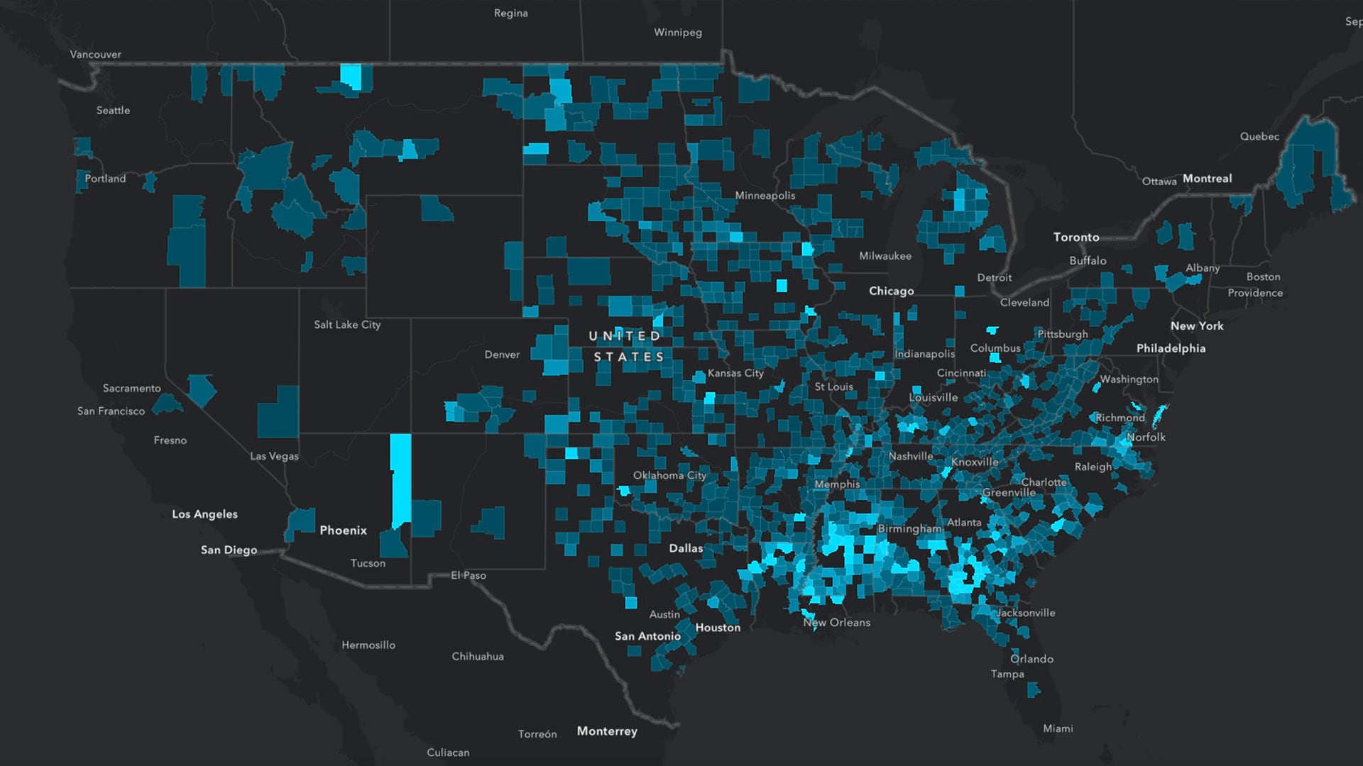
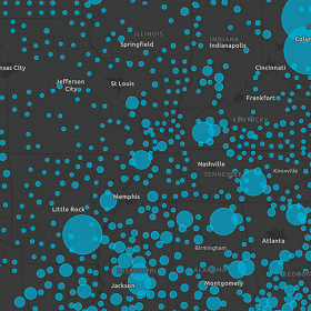
An estimate of an area’s readiness for contact tracing is possible through GIS analysis. The smart map below shows one way an executive and a GIS analyst might explore the situation. The colored areas on the map represent US counties where fewer than 75 percent of residents own a smartphone. The larger the circle, the more cases of COVID-19 per capita in that county.
With this guide, an executive might set different conditions for reopening a facility in southeastern Arkansas, for example, than for one near Oklahoma City. (The map is a snapshot of May 18, 2020.)
To further refine the analysis, a location analyst can overlay this map showing COVID-19 testing locations across the US, since testing and contact tracing are key factors in determining how prepared a community is to reopen and deal with a potential increase in cases.
Savvy executives are partnering with their GIS analysts to map the probability of testing and contact tracing around specific facilities, and making operational decisions based on the findings.
Finding Data to Guide Decisions
During the COVID-19 pandemic, decision-makers are looking for critical local insight to make important decisions. A modern GIS acts as an information gateway—in effect, a search engine for location-specific data.
The technology connects analysts and executives with resources such as:
- Economic vulnerability of the US population [explore the data]
- COVID-19 testing sites [review local resources]
- Risk scores for each county [access the map]
Analyzing these and other datasets in concert gives business leaders and organizational decision-makers the insight needed to reopen offices and workplaces at the appropriate time, under the safest conditions.
For business questions related to COVID-19, answers may be as nuanced as the local, county, and state regulations that govern daily life. Smart maps, fueled by insightful data, are lighting up some answers.
The Esri Brief
Trending insights from WhereNext and other leading publicationsTrending articles

December 5, 2024 |

July 25, 2023 |

November 12, 2018 |

February 1, 2022 |
July 29, 2025 |

July 14, 2025 |
