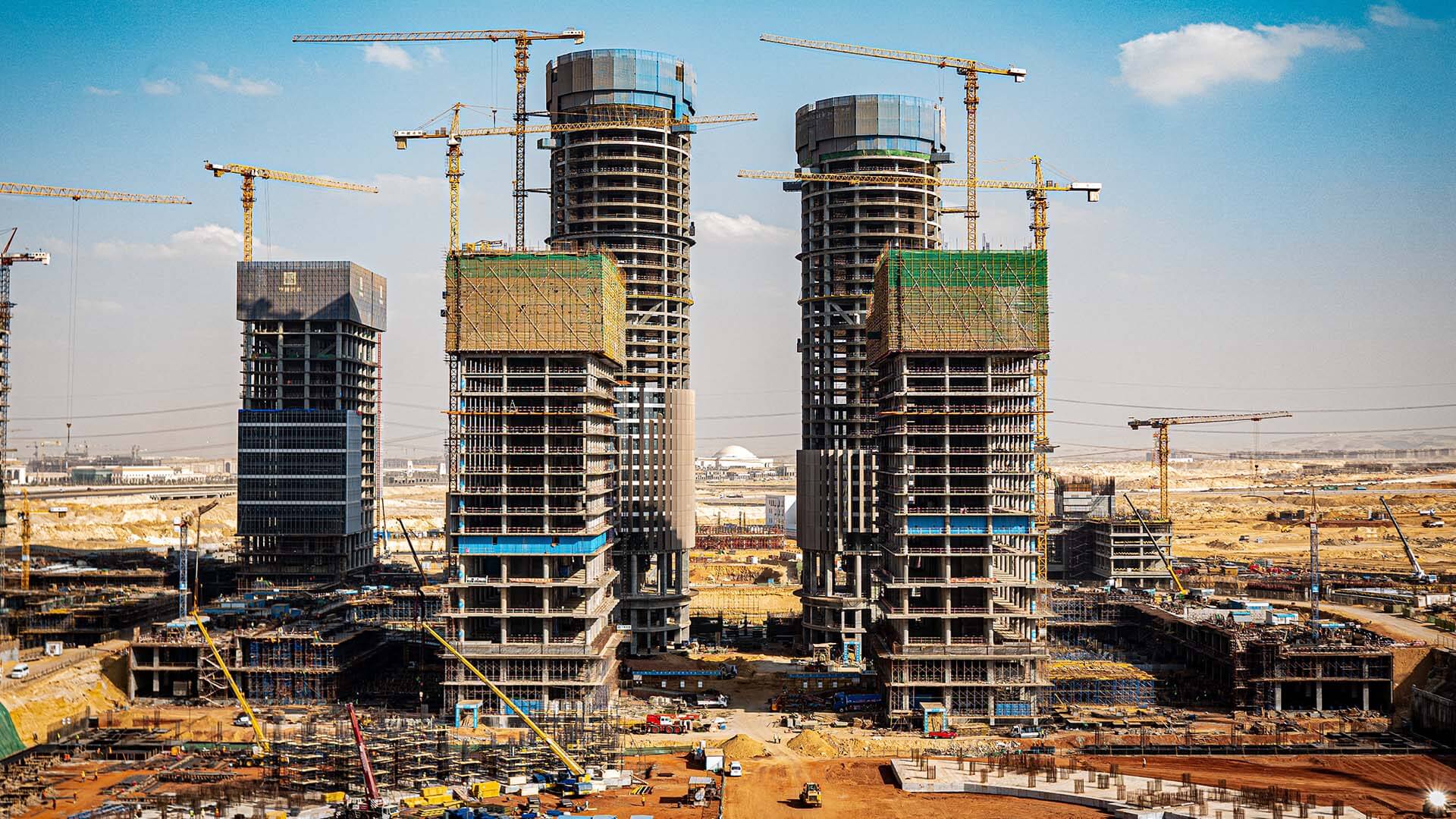
The construction industry—a $10 trillion behemoth that makes up the world’s largest economic ecosystem and 13 percent of global GDP—is poised for sweeping transformation in how it delivers projects and collaborates with clients.
According to McKinsey, 80 percent of construction industry executives anticipate radical change over the next 15 to 20 years, as new technologies and techniques like machine learning and modular construction grow in prominence. Sixty percent expect major changes to come within the next five years.
Amidst that upheaval and a recent windfall of infrastructure investments, two primary forces will challenge architecture, engineering, and construction (AEC) leaders: the rise of digitization and the demands of sustainability. Data governance will become as important as drafting prowess. And new energy efficiency regulations promise to obviate traditional design and building approaches. In response, top AEC firms will turn to geographic information system (GIS) technology for the spatial context they need to compete in this leaner, fast-moving environment.
AEC Digitization and Its Drivers
Several trends—including a generational shift in the workforce, impacts of the COVID-19 pandemic, and changing client expectations—are pushing construction planning and management deeper into the digital realm.
And yet, today’s AEC industry creates troves of valuable location data that are often ignored. According to one analysis by consulting and investment banking firm FMI, 95 percent of all data captured in the engineering and construction industries goes unused. However, by incorporating project data into dashboards that produce real-time updates, GIS enables business leaders to unlock insights known as location intelligence or spatial insight.
That means executives who use GIS to organize and analyze location-specific information have a significant advantage. Spatial insight streamlines workflows and lowers costs, improves collaboration and consensus among stakeholders, and promotes awareness of sustainability-related issues throughout the design and construction process.
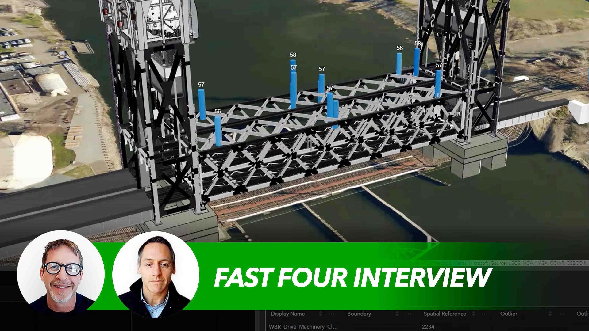
Visualizing information on a map or in 3D form not only is an effective mode of communication—it also can expedite decision-making. One firm used a GIS-powered 5D digital twin to monitor scheduling, costs, and the placement of each track tie and bridge pier during a recent rail project.
The Push toward Net Zero
The move to digitization comes as AEC firms begin to address another major force roiling the industry: sustainability. Construction is one of the world’s least climate-friendly industries—buildings generate 40 percent of global energy-related carbon emissions. New energy-efficiency regulations in major cities aim to reverse those trends.
New York City’s Local Law 97 places carbon caps on buildings larger than 25,000 square feet in the hope of cutting emissions 80 percent by 2050. Under Los Angeles’ Green New Deal, city buildings are expected to be zero-carbon by that same year. And new energy standards in England mean that over half the office buildings in central London could be considered unusable by 2027.
As pressure grows from regulators—and firms’ own employees—GIS provides the spatial context executives need to understand relationships between buildings, their surroundings, and the environment.
By pairing GIS with building information modeling (BIM) software and smart building tech, designers gain an accurate visual representation of buildings as well as the ability to quantify and analyze energy efficiency, carbon footprints, and water waste.
Location intelligence can show AEC professionals, for instance, how south- or east-facing glass facades might reflect sunlight and heat up neighboring buildings. Building operators with properties throughout cities or sprawling campuses can employ smart maps to visualize and forecast power-consumption trends for years to come.
“Paper ways are gone,” says Donna Huey, chief digital officer at the design firm Atkins. In recognition of that fact, her firm’s management team has embraced GIS as a key technology for organizing and sharing data, and for its seamless integration with design delivery on projects.
“To be able to have a fully integrated environment, leveraging geospatial and design, is a pretty powerful path to be on,” she explains.
Digital Efficiency, Inspired by a Generational Shift
One of the major catalysts for AEC’s digitization has come through the HR office. By 2025, millennials—the first digital native generation—could make up as much as 75 percent of the workforce, bringing a familiarity with technology and a heightened sense of responsibility for the planet. Increasingly, young AEC professionals are being introduced to GIS in college and are driving adoption of the geographic approach in the workplace.
“It used to be that someone would come into the workplace, especially in a big design and engineering firm, and feel like they almost took a half step back,” Huey says. As more firms are embracing digital transformation and advances in fields like GIS, “we’re able to make that connection a little quicker for the new workforce that’s coming in.”
Workers in their twenties and thirties have grown up with computer-generated movies and video games that achieve lifelike verisimilitude. That has shaped their expectations and preferences for visual modes of analysis like GIS, which can turn spreadsheet data into interactive smart maps. By incorporating imagery captured by drones, location technology allows executives to see buildings in 3D, and even rewind or fast-forward through a construction process.
How COVID-19 Fueled Digital Advances
The AEC sector has always had to connect the work of architects at their drafting tables or computer screens with that of construction teams in the field. But with the onset of the COVID-19 pandemic in 2020, even principals and partners had to find digital workarounds to review projects and monitor progress from remote locations.
Now, as firms embrace a new form of hybrid work, those digital workflows are becoming standard practice and driving rapid innovation.
With GIS, site workers can enter data in mobile devices, feeding real-time information into dashboards that executives and clients can review from any location. Decision-makers gain an understanding of on-the-ground conditions, while field teams save time—and decrease carbon emissions—by avoiding trips to the office to input data.
When spatial context is built into the way AEC companies work, COOs and CEOs can find the information they need by zooming to an area of a map, rather than hunting through multitab spreadsheets.
“Project data life cycle, digital project delivery . . . these are terms we hear a lot today, and we think our clients are still struggling with this,” Huey notes. “We can use the web technologies afforded by GIS today to unite project team members and collaborate using spatial data.”
Digitization Creates Larger Role for Clients
Pressure to shift to collaborative platforms like GIS has also come from clients and building owners as they move away from siloed project management techniques to design-build models and integrated project delivery approaches.
Clients are no longer content to wait until the end of a project to be briefed. They have less tolerance for delays and cost overruns, especially since digital technologies have been shown to decrease such inefficiencies. McKinsey found that 98 percent of megaprojects end up overbudget, with three-quarters delivered at least 40 percent late. Smaller projects don’t fare much better.
A web-based dashboard powered by GIS brings owners into the conversation with architects, engineers, and construction professionals. A COO can assess a project’s status via colored dials and a simple floor plan accessed through a GIS dashboard. Owners also increasingly want design delivery in a digital format that they can reference throughout a project life cycle.
A Reckoning for AEC’s Record on Climate
The AEC industry gobbles up materials. According to The Economist, it accounts for almost all the cement made in the world, half of steel production, and 25 percent of aluminum and plastic output—all sectors that pour emissions into the atmosphere during the manufacturing process.
Powering, heating, and cooling homes and office buildings also contribute greatly to energy-related emissions.
Integrating GIS and BIM allows designers, engineers, and construction professionals to essentially build a context-aware structure in the digital realm before a single yard of concrete is poured. Through location-intelligent 3D models, they can assess how changes in design might raise or lower the green profile of a building.
By digitally experimenting with venting, geothermal heat pumps, the placement of solar panels, or the use of recycled materials, AEC professionals can present clients with options for how to reach net-zero emissions status.
Spatial insights also give business leaders operational awareness on how their organizations generate waste—a drag on both sustainability goals and the bottom line. Smart use of water is increasingly becoming one of the top environmental concerns for executives. With GIS, designers and engineers can incorporate efficiency solutions into design, including systems that reuse or recycle gray water internally. A geographic approach can also raise red flags about areas where water stress could paralyze future operations.
The Coming Building Boom
Demand in the coming years for new infrastructure will be great, with global building floor space expected to double by 2060. With growing demand for sustainable construction and the increasing digitization of work, the old standards of how AEC firms do business will no longer apply.
Location intelligence will enable executives to respond to those trends, in the process attracting the best young talent, satisfying clients, and placing innovative firms at the front line of the industry.
The Esri Brief
Trending insights from WhereNext and other leading publicationsTrending articles

December 5, 2024 |

November 12, 2018 |

July 25, 2023 |

February 1, 2022 |

March 18, 2025 |

May 28, 2025 |


