There’s a new breed of environmental watchdog out there.
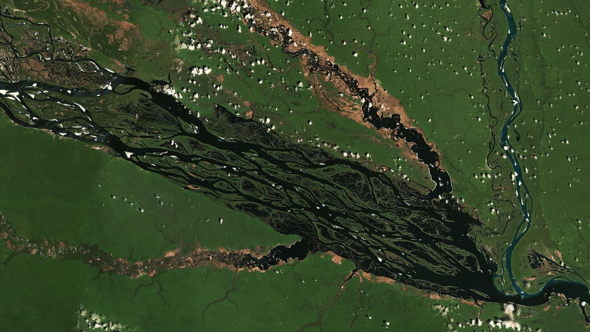
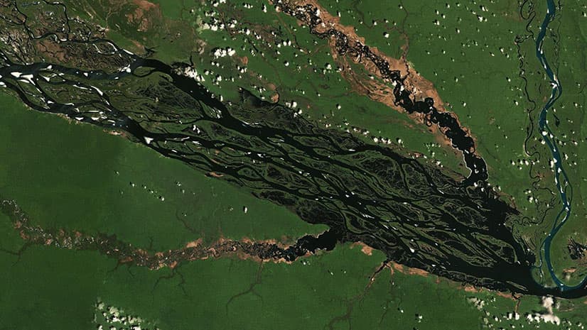
A decade ago, their predecessors walked through jungles and woods to document deforestation from illegal mining, oil drilling, cattle ranching, and palm oil farming. What then took months or even years to uncover, today’s watchdogs reveal in a day, using satellite imagery and AI-powered GIS (geographic information system) technology.
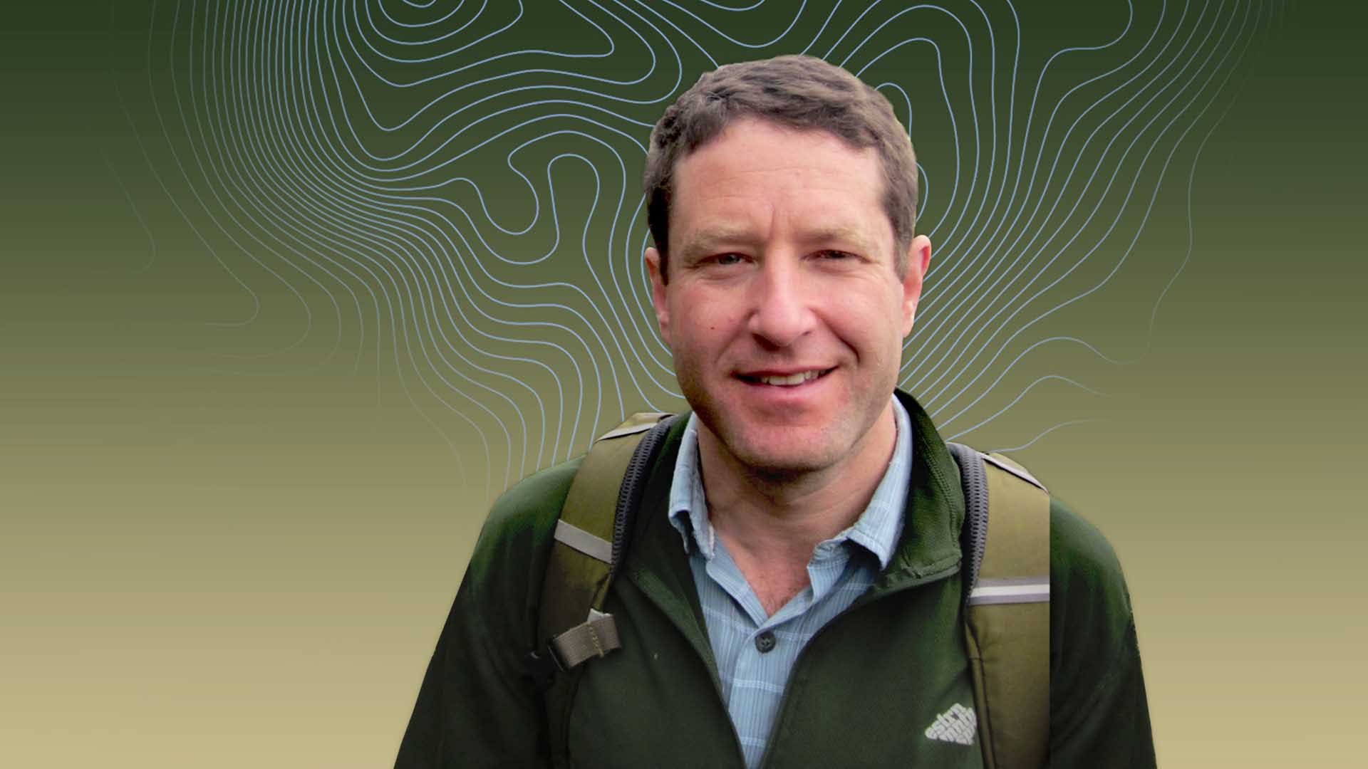
Dr. Matt Finer helped usher such techniques into mainstream use. Today, as he and his colleagues perform real-time monitoring and analysis to protect productive land and stave off the effects of the climate crisis, they’re infusing the role of global watchdog with even more precision and speed.
A Watchdog Peers Deep into the Supply Chain for Amazon Conservation
For global businesses, total supply chain visibility is rare—some studies say just 6 percent of companies have achieved it. But executives can no longer plead ignorance of the activities occurring deep in their supply networks. New and pending legislation cracking down on deforestation, for instance, proves that the actions of any player in the supply chain—however minor or far from headquarters—are now a corporate risk.
And the watchdogs are watching.
Matt Finer’s name is well-known among them. In 2013, he took a job at Amazon Conservation; two years later he founded the organization’s Monitoring of the Amazon Project (MAAP) with a mission to fine-tune and fast-track the monitoring of conservation land. Instead of relying on field crews, Finer and the MAAP team use satellite imagery and GIS analysis to spot illegal deforestation. In the early days of the project, they created yearly reports based on 1,000-meter-resolution imagery. Now, they spot encroachments in areas smaller than half a tennis court—within a day or two of their occurrence.
Finer gets as many as a thousand alerts daily indicating that a given pixel in satellite imagery has changed color since the flyover a day earlier. The change could indicate that a few trees may have been felled, or that smoke might be rising. GIS software saves the MAAP team from manually investigating each alert. Powered by data science, GIS groups pixels into clusters of activity, guiding MAAP and Amazon Conservation researchers to the most urgent areas of deforestation.
This watchdog work is happening at a time when the Amazon is in danger of losing its status as the planet’s carbon sink. Scientists say tree loss and fires threaten to turn the Amazon into a net emitter of carbon dioxide, which would hasten atmospheric warming and worsen climate change.
Finer and team watch for activities that upset the natural balance. With the evidence they’ve compiled, authorities throughout the Amazon have shut down activities ranging from illegal palm oil production to destructive cattle ranching in endangered areas to illicit gold mining.
New Maps Empower the Protectors
Nadia Mamani was born and raised in the biodiverse Madre de Dios region of Peru, where gold miners and others have illegally cleared the rain forest to set up operations.
Despite having lived in Madre de Dios all her life, she hadn’t grasped the extent of the illegal mining until she began using GIS and remote sensing tools to complement her field investigations. What she saw inspired her to work for conservation and restoration of landscapes in indigenous communities.
That newfound awareness parallels what a business executive might see when GIS-based insight reveals unwanted activity deep in the supply chain, otherwise out of sight.
“In my hometown, there are some areas that are not very accessible,” Mamani explains. “So for me, GIS and remote sensing gave me new eyes—a view from a different angle.”
During her graduate studies in GIS and conservation, Mamani relied on Finer’s maps to investigate mining activity in her town. “Matt Finer is a household name in the conservation community in Peru,” she explains.
Upon moving to the US to start her career, she had a professional goal.
“I want to find Matt Finer,” Mamani told colleagues.
When she found him at Amazon Conservation in Washington, DC, she also found work as a GIS and remote sensing specialist for the MAAP team.
“After I moved here, I decided to work for my country and my hometown. And in some way, that’s what we do—protecting my people, our forest. It’s my home, and that’s something that unifies me and Matt.”

He's always [taking] scientific data, information—basically complex problems—and turning them into digestible public reports. That's something that he does perfectly. For me, it's translating complex ideas into something simple.
A Pioneer in the Right Place at the Right Time
In the middle of last decade, Finer and the MAAP program scored a major win by uncovering a massive deforestation project—2,000 hectares cleared in a couple of months by a cacao producer.
The team had used GIS software to combine satellite imagery with data on the location of roads, country boundaries, mining concessions, and protected land.
“With some concise text, [we] kind of walked the reader through this case. And you may not realize it, but we just brought together 10 data layers,” Finer says of the analysis. “It’s really in these GIS programs . . . where all of that data comes together.”
That method showed its effectiveness when El Comercio, Peru’s oldest and most popular newspaper, printed the satellite images of the cacao operation on its front page. When authorities broke up the operation, El Comercio printed that news, too.
“It was really just a game changer moment,” Finer recalls.
(For more on how that first big discovery came about, see the video at the end of this article.)
Cat and Mouse in the Jungle
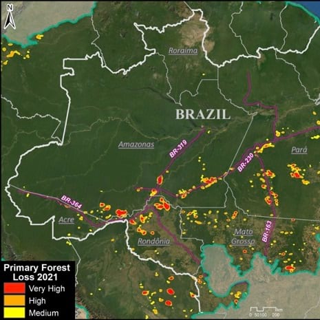
But while watchdog groups like Amazon Conservation were using technology to detect and expose some threats, others were going undetected.
Sidney Novoa, director of GIS and technology at Conservación Amazónica, Amazon Conservation’s sister organization in Peru, watched the process unfold. His early work focused on illegal timber operators who built huge roads and extracted vast swaths of wood from the rain forest. Smaller operations that worked as discreetly as possible, using small trucks and removing only select trees, often escaped notice.
Fortunately, the ever-increasing clarity of satellite images and a GIS technique called GeoAI soon gave the MAAP team a new advantage. When loggers try to thin trees in small numbers, the activity creates subtle but telltale gaps in the canopy.
“And that characteristic can be identified by [machine learning] algorithms once you’ve trained the [GIS program on the] shape of the gap and, sometimes, the color of the area that the operation leaves,” Novoa told WhereNext.
In other words, GeoAI reveals what some people hope will remain hidden.

We identified camps, we identified the timber wood ready to be transported up to other areas. We reported that to the local authorities here in Peru.
A Month-Long Trip Becomes a Career
Matt Finer never expected to spend his career safeguarding the Amazon, but from the start, he was drawn to wide landscapes and complex challenges. Shortly after completing his PhD at Washington State University, he took a trip to Ecuador. He had a ticket to return in a month, but he stayed a year, and when he left, he was well on his way to a career of Amazon watching.
As for what motivated him, he says, “I think it was a combination of the biodiversity [and] the vastness that was still intact, but combined with the threats.”
His brush with satellite imagery and GIS technology—the tools that helped him and Amazon Conservation define the practice of real-time monitoring—was just a happy accident.
“I have no background or training in technology whatsoever,” he says. “During that time period, I organically discovered that technology was the most powerful tool to basically document in a scientific way . . . what was happening.”
As pressure on the business world grows, more corporate executives will rely on watchdogs like Finer—or location analysts within their own organizations—to root out bad practices from supply chains.
Although Finer and his MAAP colleagues address a bevy of threats across the Amazon, Peruvian gold mining helps illustrate the team’s impact and the power of watchdogs to change business practices.
“We’ve really been able to track that problem in real time, send that information to the Peruvian government, and really help the Peruvian government clamp down,” Finer explains. “And we’ve seen a major decrease in illegal gold mining deforestation in the Peruvian Amazon. So it’s really helping propel this field of real-time monitoring.”
The Esri Brief
Trending insights from WhereNext and other leading publicationsTrending articles

December 5, 2024 |

July 25, 2023 |
April 29, 2025 |

November 12, 2018 |

February 1, 2022 |

May 6, 2025 |
