Consider two numbers:
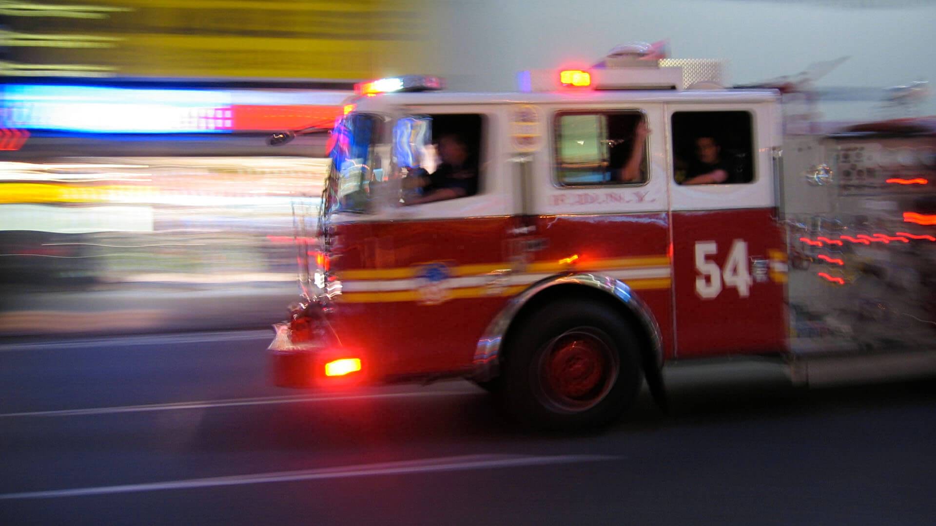
Fire departments strive to reach burning homes in under four minutes, a benchmark set by the National Fire Protection Association.
Food delivery services aim to deliver meals in under 30 minutes to maintain customer satisfaction.
Two very different fields, one common factor: For fire departments and food delivery services, success is measured by the ability to reach the most people in the least amount of time.
For operational leaders in both arenas, mastering this challenge requires a profound understanding of fixed locations—be they fire stations or restaurants—and the destinations they must reach.
Both groups have turned to geographic information system (GIS) technology for this task. GIS allows organizations that transport goods and services to map territories and find the best routes.
The experience of San Luis Obispo’s fire department illustrates how GIS helps leaders analyze coverage areas and decide where to invest in new stations—or restaurant partnerships—to meet growing demand.
Mapping the Variables
San Luis Obispo, a city of nearly 50,000 along California’s idyllic Central Coast, recently explored a new strategy to reach areas of the city where fire response times averaged more than four minutes. Local leaders enlisted GIS technology to analyze sites for a new fire station.
Ethan McGhee, a member of the city’s IT division and a GIS specialist, explains the analysis: “We’re basically saying, ‘We’re starting from one place, going out as far as we can, and what are we going to be able to reach if we were to place a station here versus there?’”
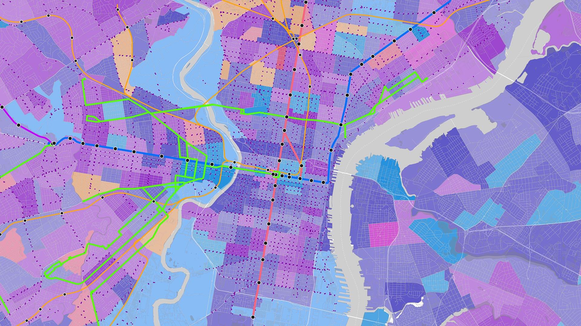
With a map of the city’s fire response zones, McGhee and colleagues used GIS analysis to define the areas reachable within certain parameters, including a four-minute drive time.
Like a food delivery service, they simulated how routes would be affected by a dizzying number of factors, including speed limits, rush hour, road conditions, left turns, and weight restrictions. GIS analysis even helps organizations assess how future events like new road construction might influence delivery or response times.
The San Luis Obispo team ensured accuracy by using transportation data from other city departments and tracking the real-time route speeds of fire trucks.
With their map, they tested coverage and response times of potential fire station locations. Areas with a four-minute response time were shaded green; unreachable areas showed up in red.
City leaders were able to incorporate the location analysis—which also featured hazards each location might face, like flood risks—into the larger calculus of site selection.
In Food Delivery, Efficiency Is King
A food delivery company has different needs than a fire department. A delivery driver may make multiple stops in one outing, for instance—and saving lives is not in the job description. However, the same type of location analysis can guide important investments, like adding an upstart restaurant to its delivery portfolio.
With GIS maps, an analyst sees how many homes are within 30 minutes of a restaurant. A deeper analysis shows the demographics and psychographics of high-value customers in the service area, or what prices competitors are charging there.
Driving from point A to point B sounds simple. But multiply that journey by thousands of trips across a metropolitan area, impacted by countless factors from weather to traffic, and it becomes clear why GIS is an essential system of insight for mobile organizations—both those that protect communities and those that feed them.
The Esri Brief
Trending insights from WhereNext and other leading publicationsTrending articles

December 5, 2024 |

July 25, 2023 |

November 12, 2018 |

February 1, 2022 |
July 29, 2025 |

July 14, 2025 |
