displaying 3089 results
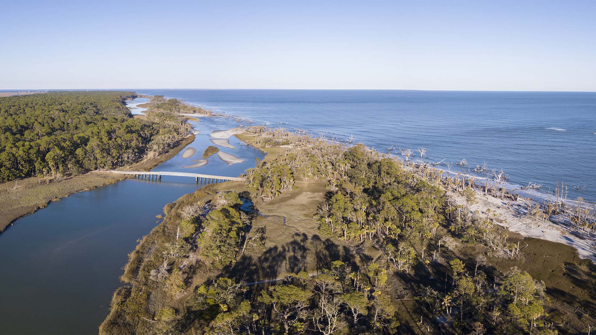
To better manage nonenergy marine minerals like sand and gravel along the US’s outer continental shelf, BOEM created a new GIS solution.
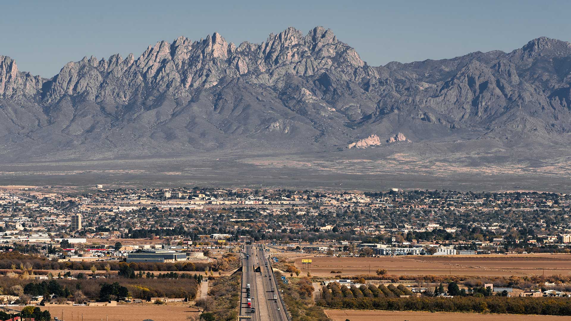
The City of Las Cruces, New Mexico, deployed a GIS adoption strategy that builds consensus for change and an enterprise mindset.

At the 2021 Esri Partner Conference, Esri recognized 26 partners for their GIS expertise and exceptional use of Esri technology.

With these enhancements, users in disconnected environments can stay just as organized as everyone else.

During the Ferguson Fire, ArcGIS technology transformed resource advising from a cumbersome process into a near real-time operation.
Portuguese paper companies are increasingly taking more heed of their environmental and social responsibilities.
By 2020, it will be feasible to find GIS data for any park or other protected area in the United States.

Texas A&M Forest Service and Esri partner Timmons Group developed a GIS mobile app to assess trees for trimming or other maintenance.
If a natural disaster were to strike in Tuscaloosa, Alabama, the Tuscaloosa County Emergency Management Agency (TCEMA) would provide...
A pilot project by a northern California water district developed a GIS-based paperless process for inventorying and managing its assets that is…