displaying 1143 results
The most-read stories on the Esri Blog for 2024 span industries and geographies.

In Oak Hill, West Virginia, GIS guided the development of Needleseye Park from its conception to opening and ongoing construction efforts.
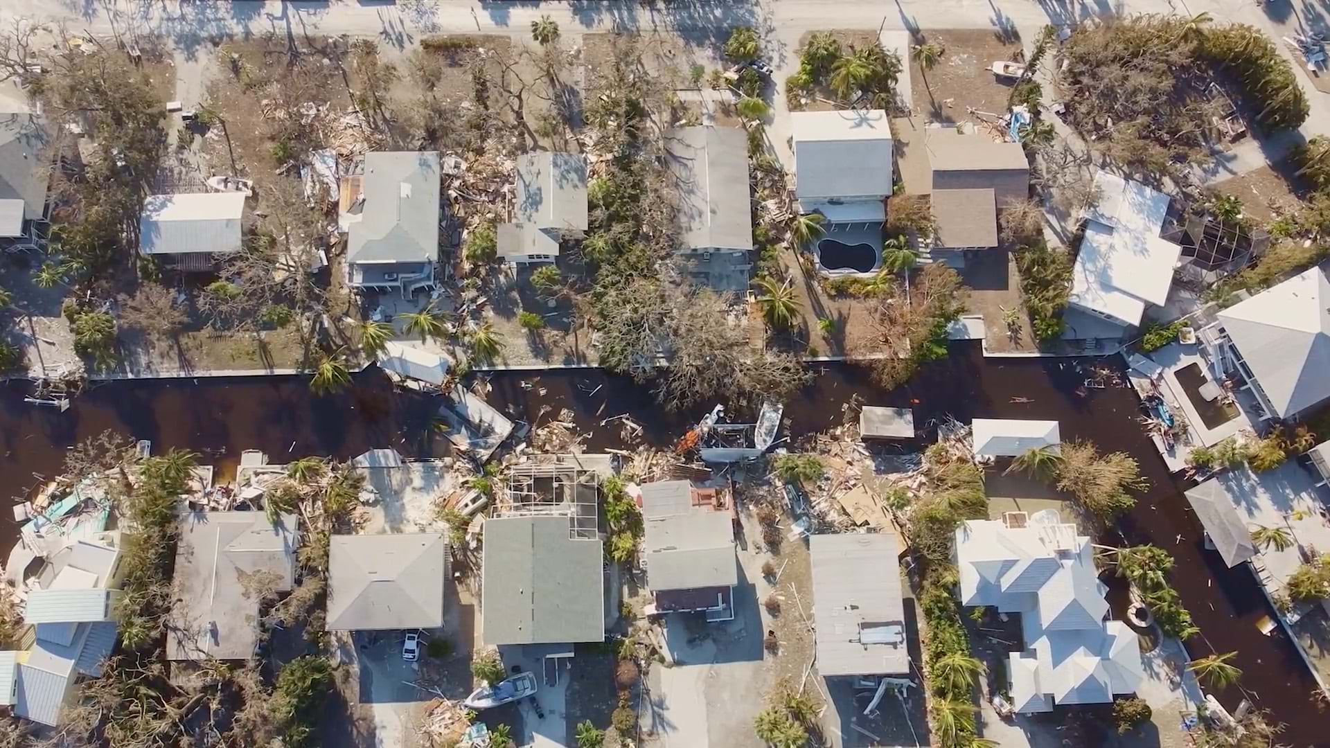
Maps powered by GIS technology provide myriad advantages to emergency management teams and communities in harm's way.

Coastal erosion is increasingly jeopardizing Point Hope, Alaska’s way-of-life. Scientists enlist GIS to help.

The National Geospatial-Intelligence Agency (NGA) created dynamic maps and dashboards to convey the spread of Ebola in West Africa.

Governor Walz has a background in geography and education, which has influenced his approach to good governance.
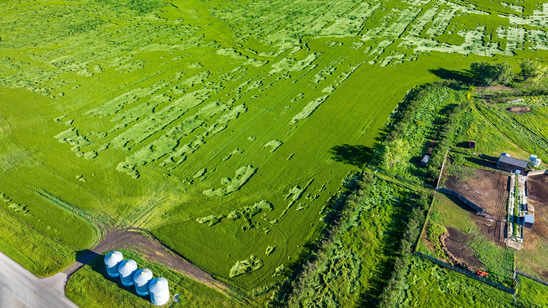
The USDA's Risk Management Agency uses geospatial analysis to detect anomalies and maintain the integrity of the federal crop insurance program.

With NASA’s new TEMPO sensor, operated by the Smithsonian, a live map of air pollution levels will help trace pollution to its source.

Portuguese vintners, Symington Family Estates, achieves the quality of its award-winning wines and ports using a geographic approach.
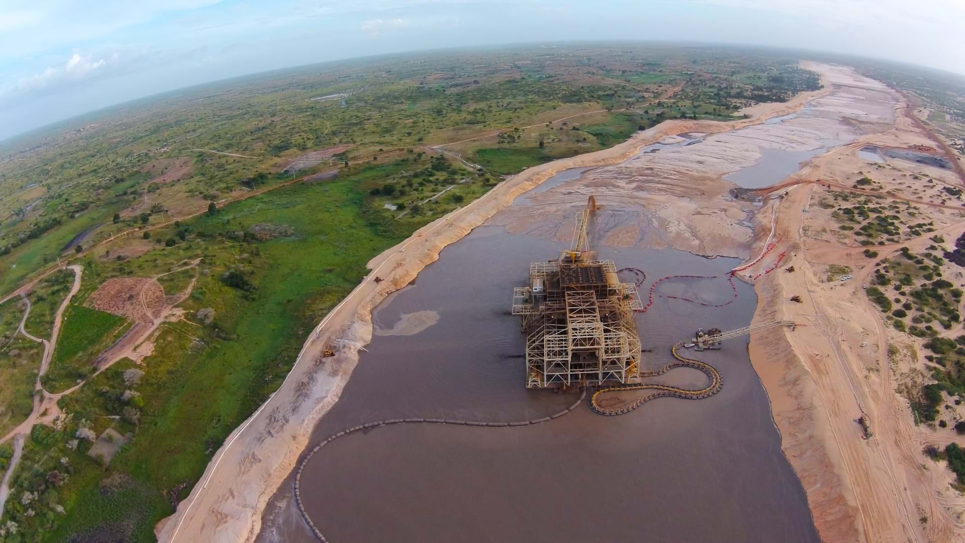
Eramet has embraced GIS as an enterprise tool to monitor environmental impacts and achieve EU-level regulatory compliance worldwide.
Map-based planning helps firefighters be more strategic about wildfire engagements, leading to better outcomes.