displaying 1097 results
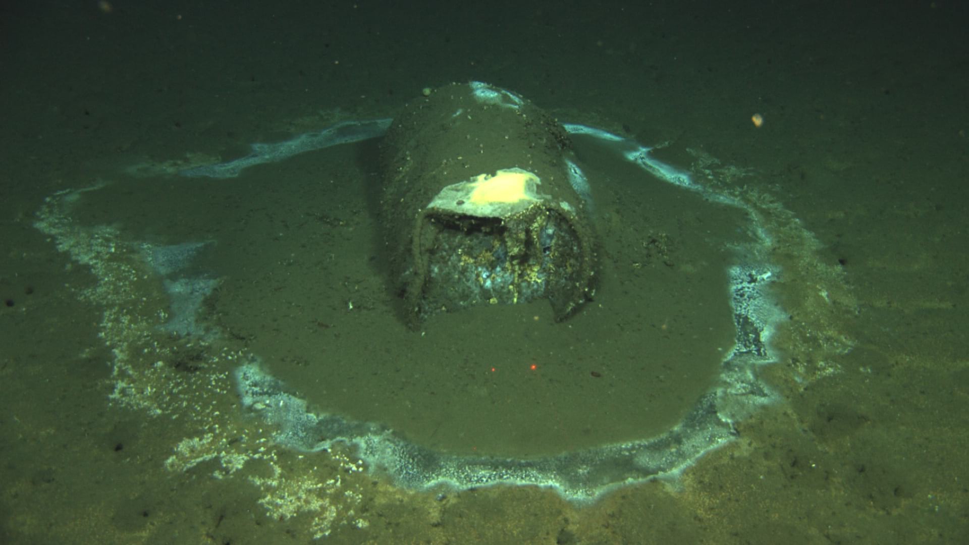
A map of dumped barrels off the coast of Southern California provides alarming evidence of ongoing environmental harm.
Esri and IBM have teamed in this year’s Call for Code challenge that seeks solutions for combatting climate change.
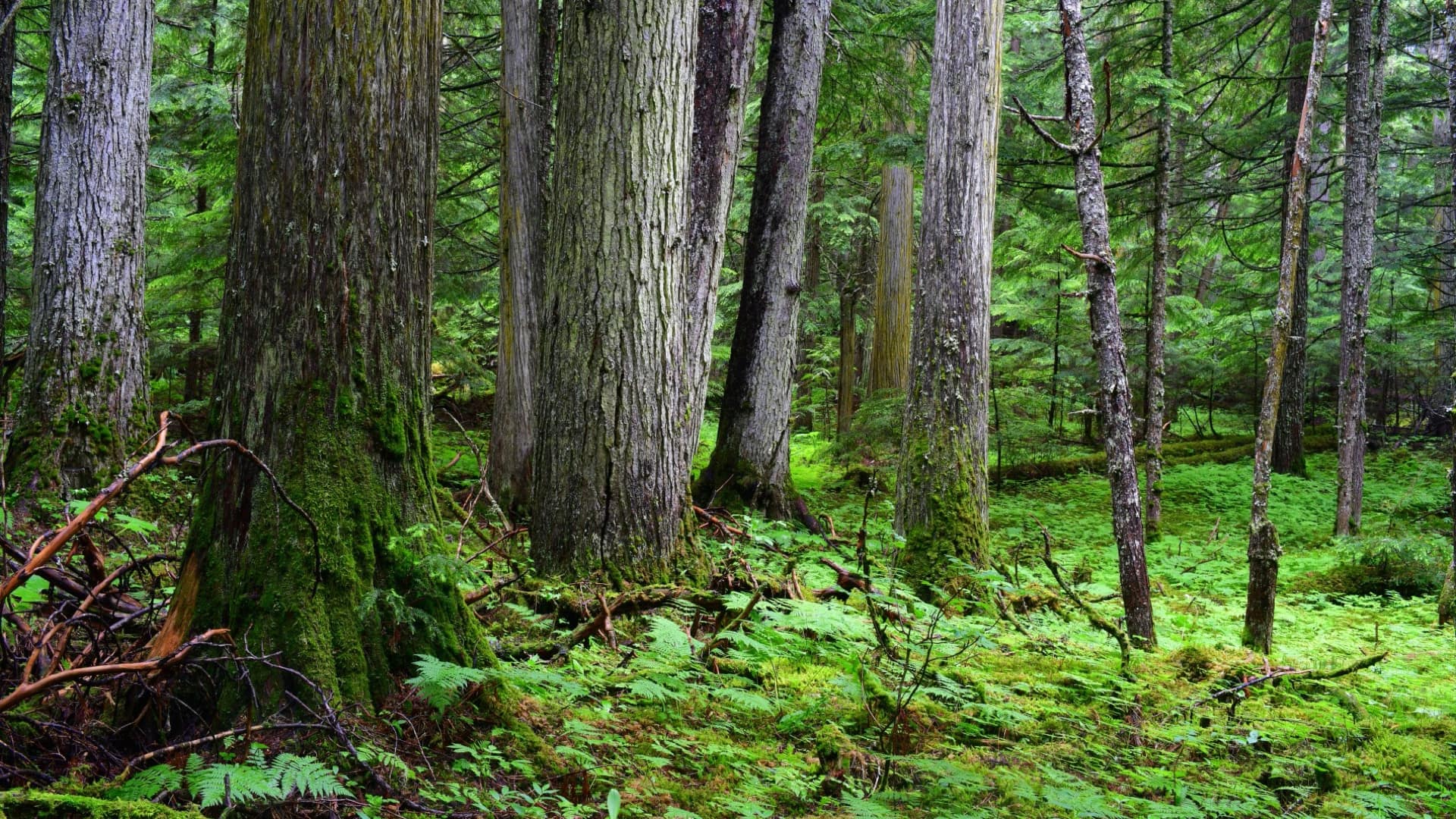
When Conservation North saw a report of old-growth forest in British Columbia, the group knew an online map was needed to activate conservation.
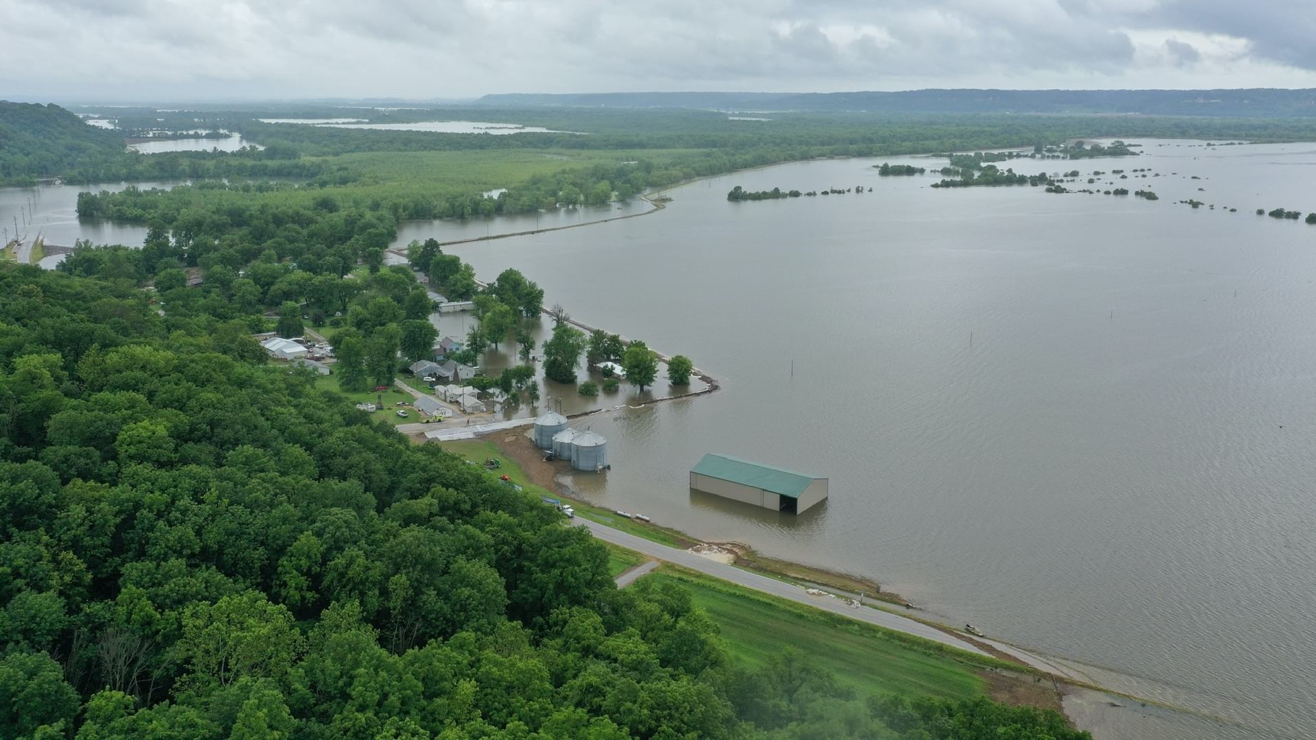
Students from Western Illinois University gained hands-on experiences using GIS technologies to monitor and respond to record flooding in 2019.
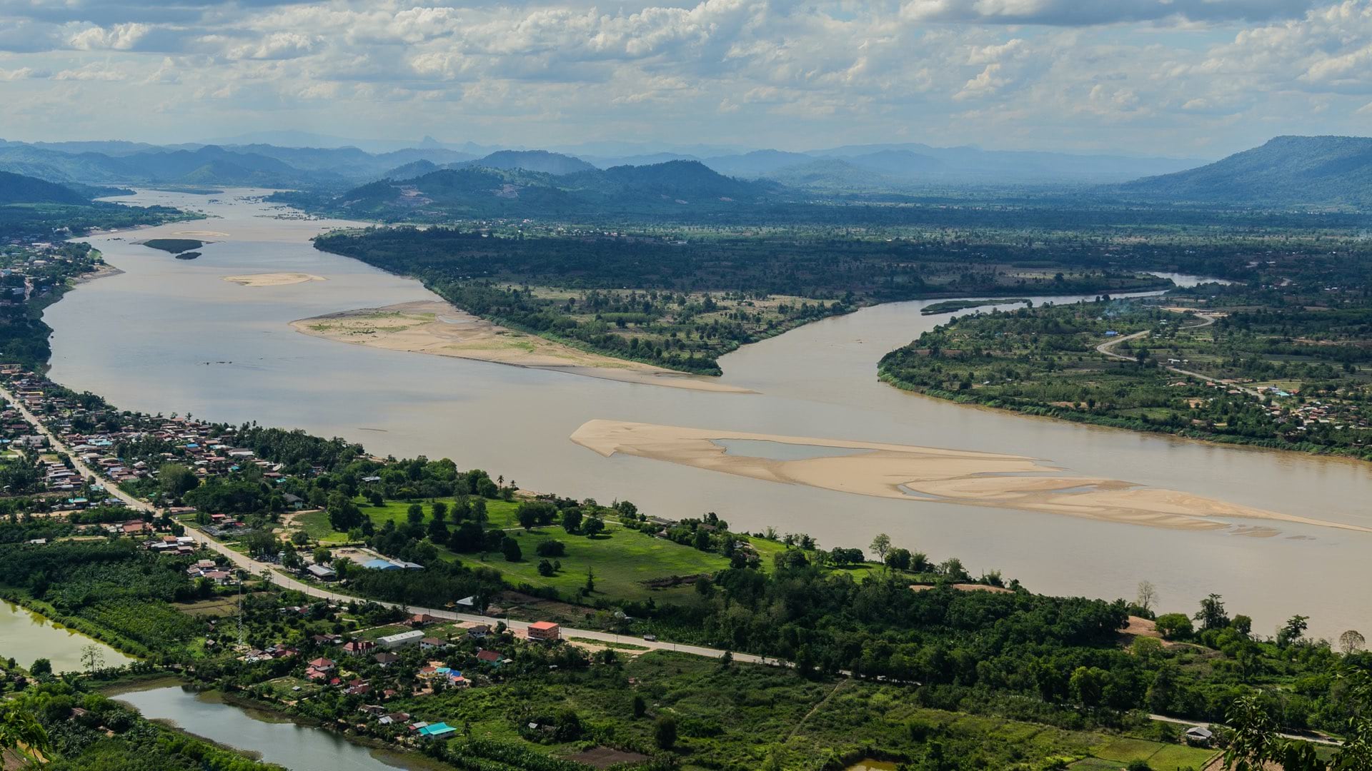
The Stimson Center shares a spatial understanding of development and energy projects along the Mekong River and their impacts.
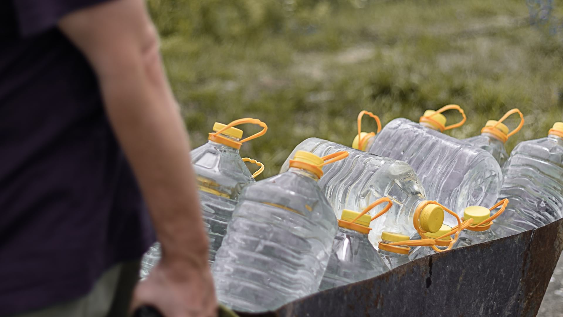
Tulare County, California, used GIS to understand who lives without drinkable water, addressing infrastructure inequities.
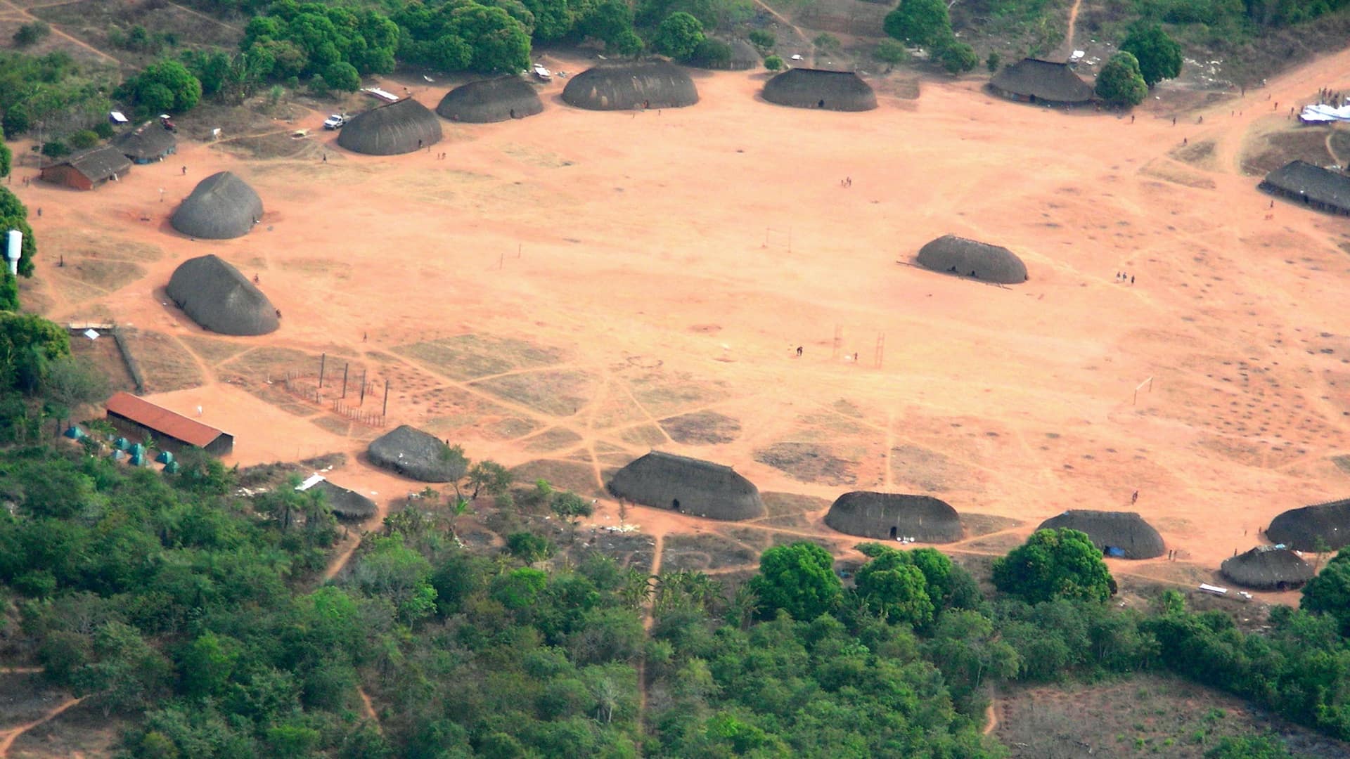
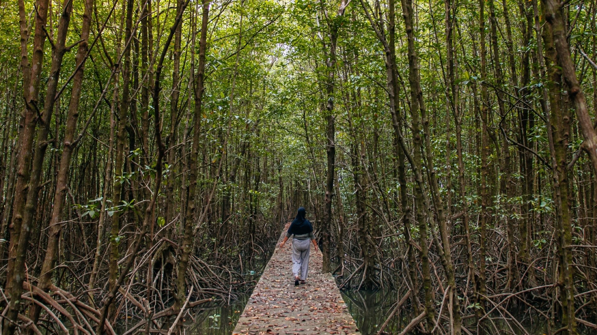
The Kuikuro tribe in Brazil’s Amazon rainforest turn from mapping their ancestors to using the same tools to protect themselves.

Ensheng Dong, the architect of the Johns Hopkins COVID-19 dashboard, applied his knowledge of GIS to map and track the spread of the disease.
The scientific community will tap data about reduced human impact on the earth to provide perspective on the value of more sustainable choices.
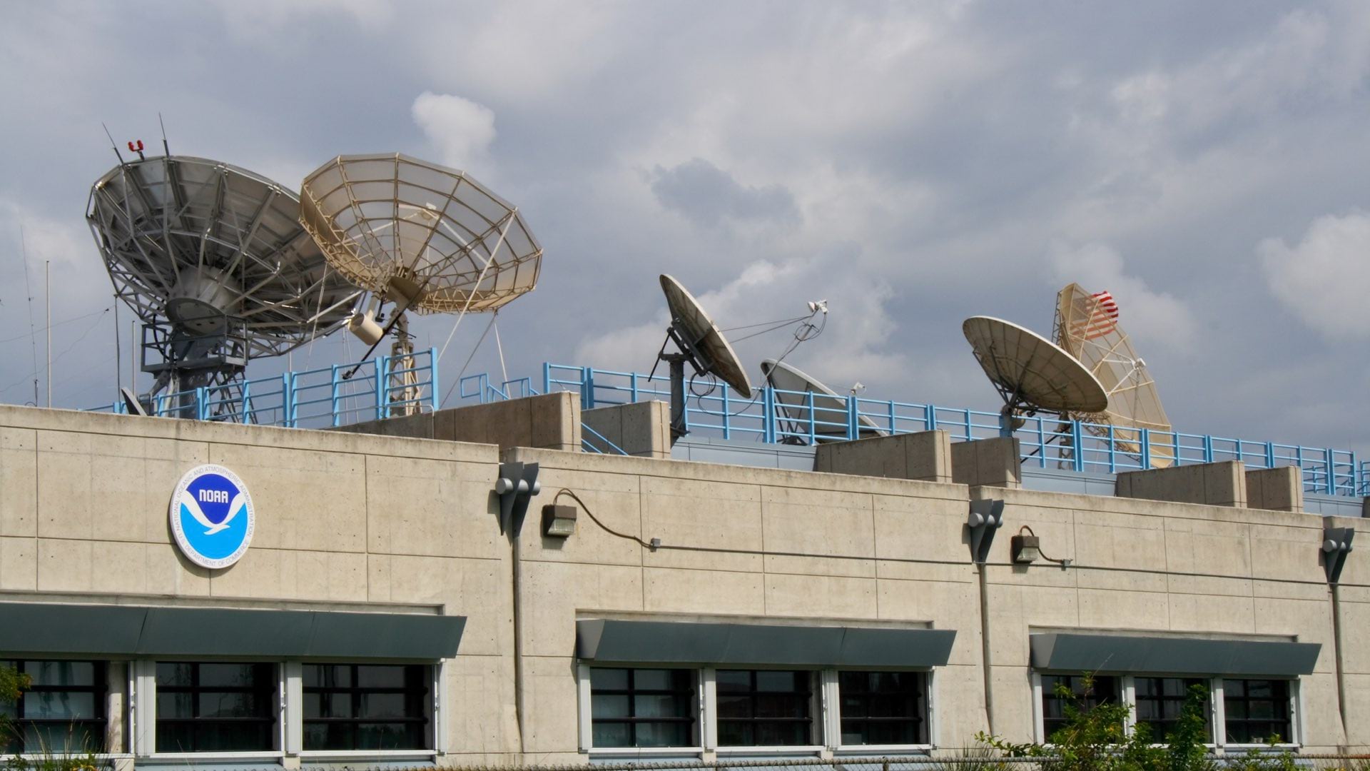
Joseph A. Pica discusses the value of a comprehensive repository of oceanic, atmospheric, and geophysical data about our planet.
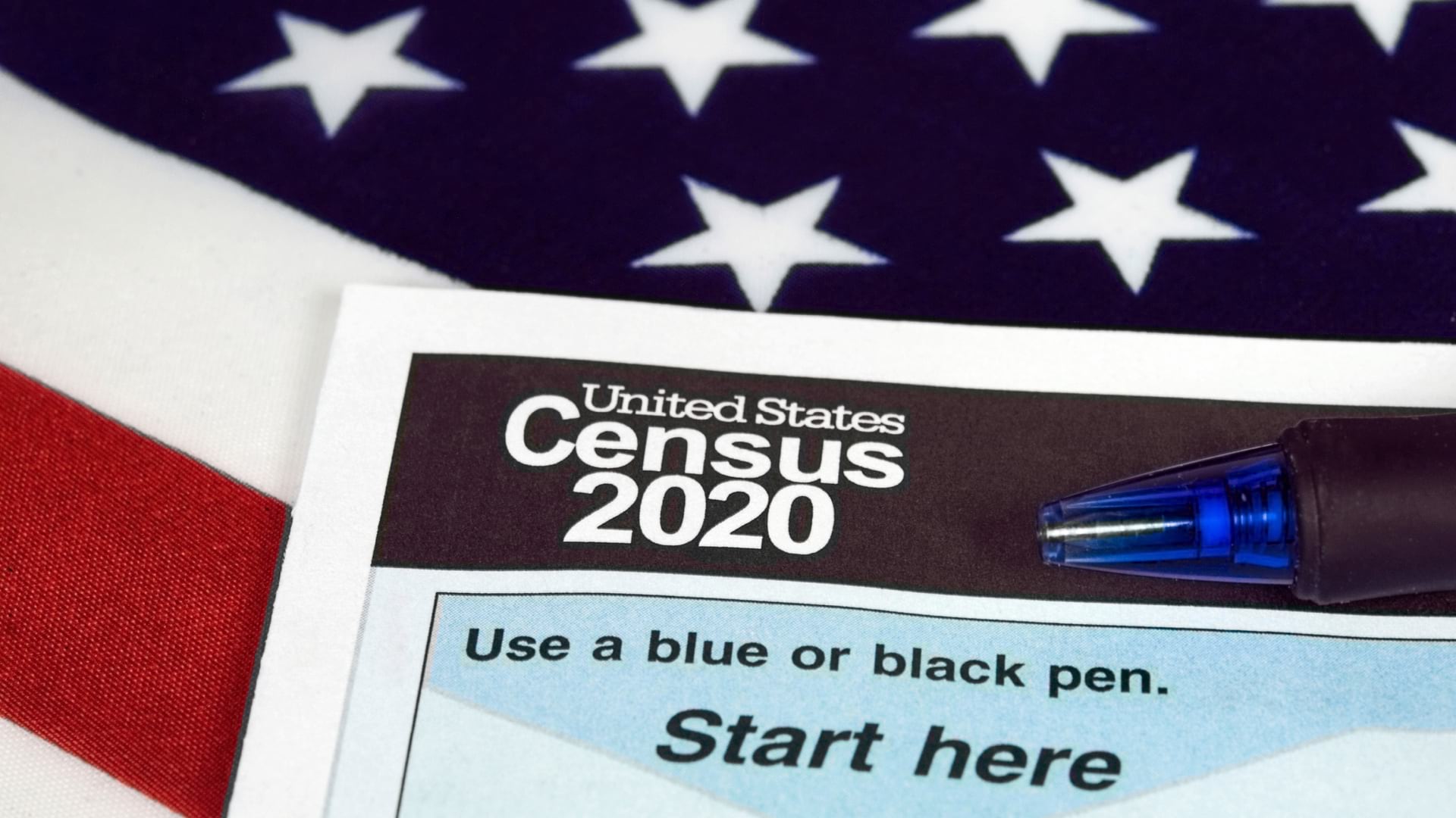
The US Census Bureau will monitor a real-time map of decennial census progress to see if disinformation disrupts response rates.
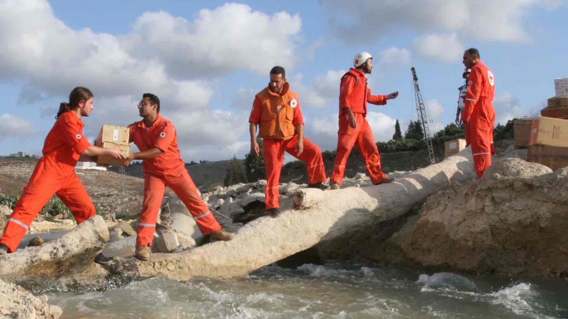
The Lebanese Red Cross use GIS to guide 1 million humanitarian aid actions per year, delivering context to build in-country capacity.