displaying 3089 results
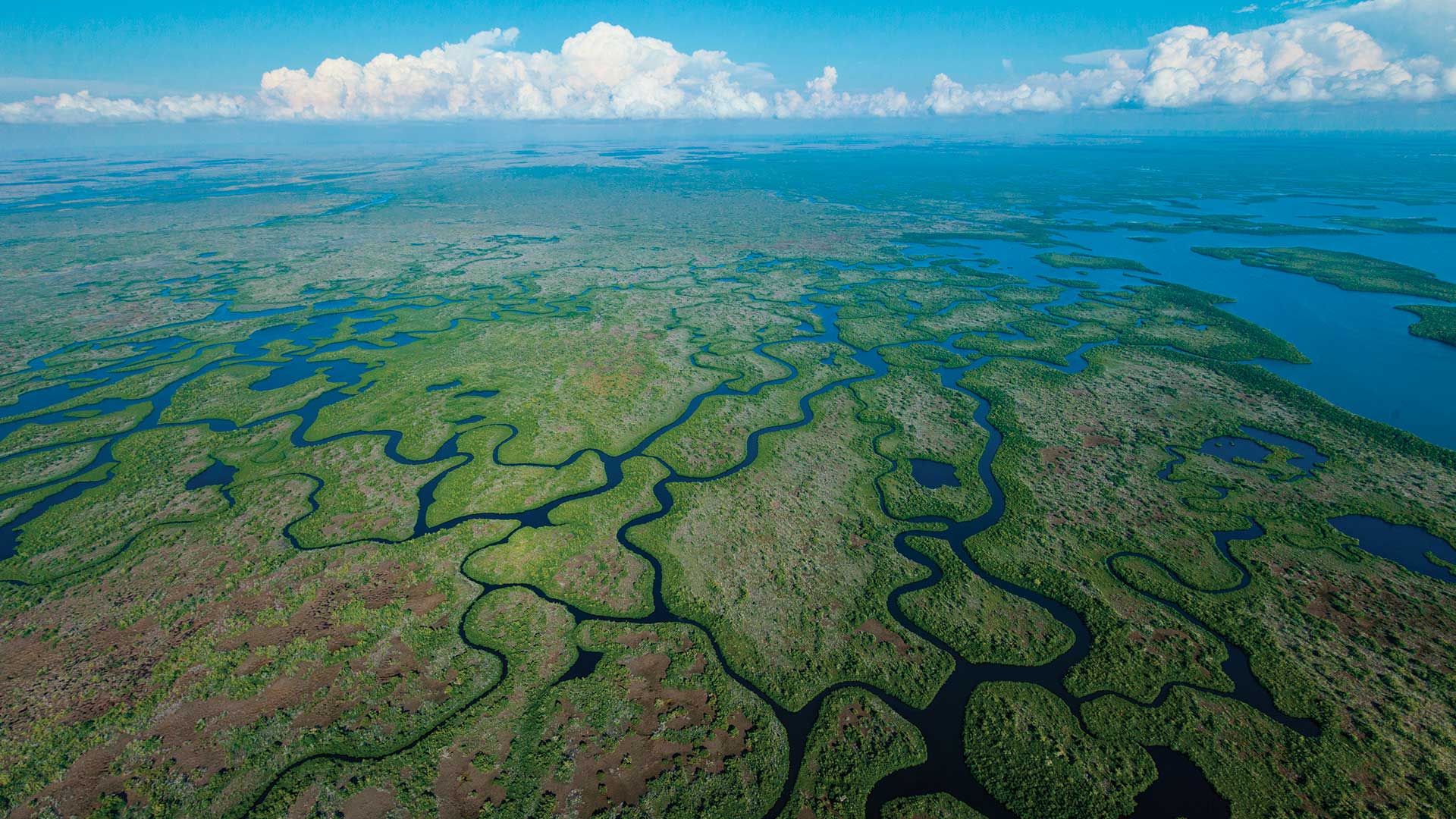
Two Florida government organizations used GIS to coordinate efforts to protect native animals from predation by the Burmese python.
The latest release of the Land Administration Information System in Rwanda is transforming the way the country manages its land.
If you knew that at least 5 percent of revenue was leaching out of your business, would you try to stop it?
Small public utilities leverage GIS to better manage their water networks-going from reactive to proactive.
Managing GIS, A column from members of the Urban and Regional Information Systems Association
Utility Network for ArcGIS is the next generation of network management for utility, pipeline, and telecommunications companies.
At the 2024 Esri User Conference, trailblazing users and organizations gathered to show how they use GIS to serve their communities.
Presenters at the 2024 Esri User Conference inspired the Plenary audience by demonstrating how they are using GIS to unite their communities.
Dublin Airport is turning into a digitally smart organization, using location technology from Esri for inspections, indoor mapping, and more.
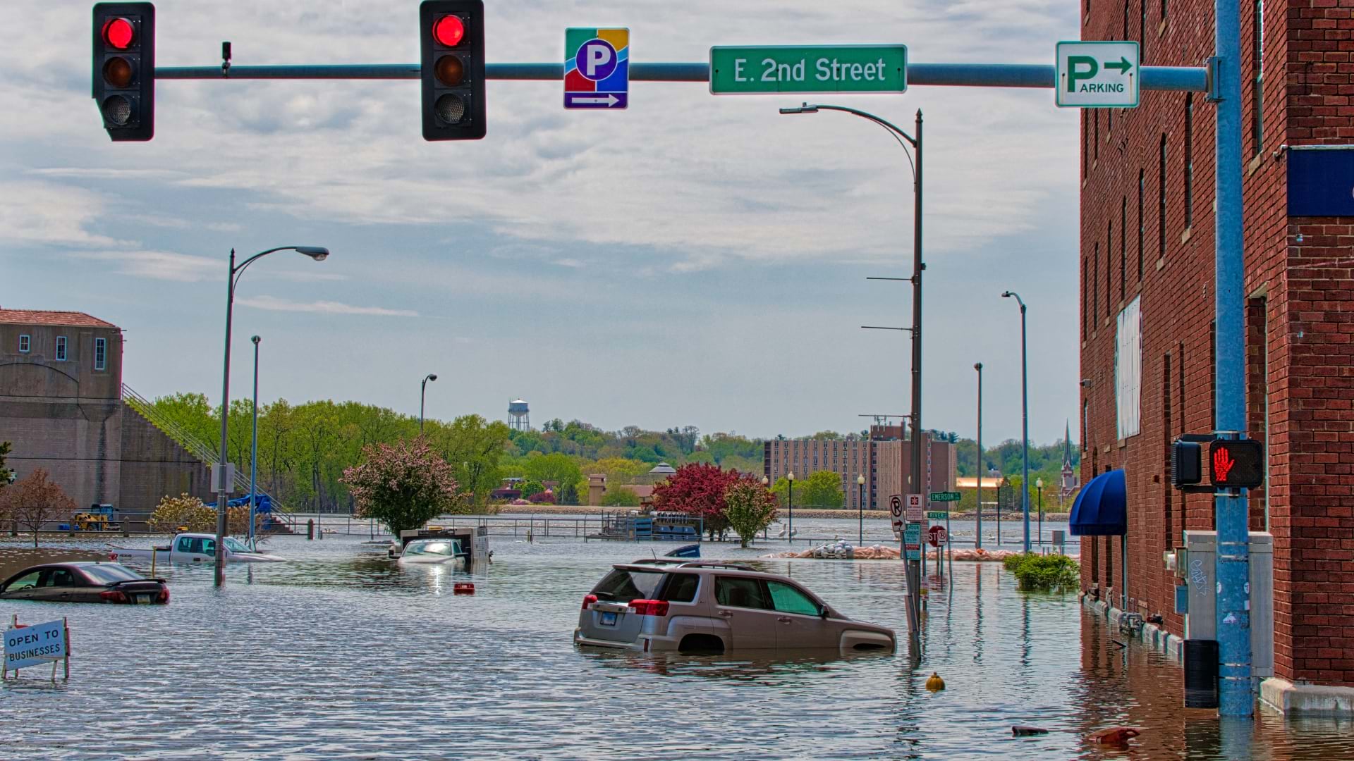
Emergency managers and GIS experts in Scott County, Iowa, work together to manage risks from extreme weather and a nuclear power station.
The City of Fort Worth gains an understanding of assets by spreading GIS to the field with apps to take inventories and guide fieldwork.
This article is for GIS managers and analysts who want an understanding of the fundamental concepts of ArcGIS for Server and its capabilities.


