displaying 283 results

Publisher of Black Voice News finds ways to use GIS mapping to advocate for the voiceless while promoting corporate social responsibility.

Tulare County, California, used GIS to understand who lives without drinkable water, addressing infrastructure inequities.

In GIS and other areas, academic systems should support all people as they are and not simply reward research and ideas.

The City of Philadelphia has created a map that is highly accessible, informs city spending, and empowers people with disabilities.
Geospatial data, harnessed through GIS technology underpins informed health-care planning.
Everyone deserves the opportunity to live a healthy life. Explore how GIS can best support health equity at the policy level.
Amidst a construction boom, AEC firm HDR is harnessing location technology to drive collaboration and deliver timely solutions for clients.
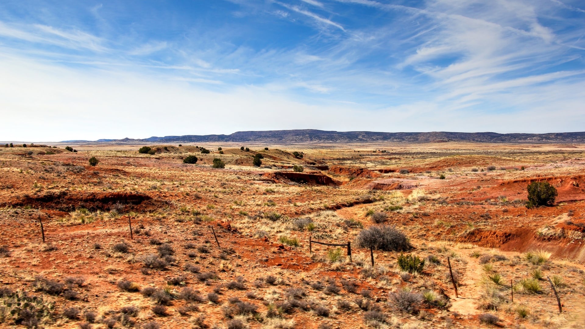
Users of the New Mexico Climate Risk Map can assess their relative risks to hazards exacerbated by climate change while considering equity.
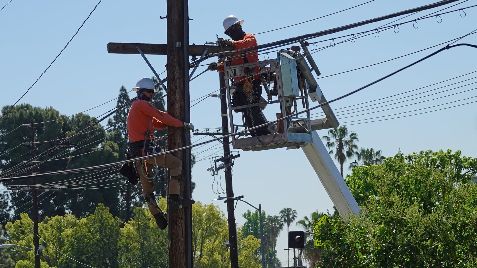
Los Angeles uses maps to convey where broadband investments are needed to address systemic inequities.

North Carolina uses GIS to analyze and communicate the state’s broadband needs.

The Trust for Public Land used GIS to analyze the benefits and fiscal impacts of public parks and open spaces in New York City.
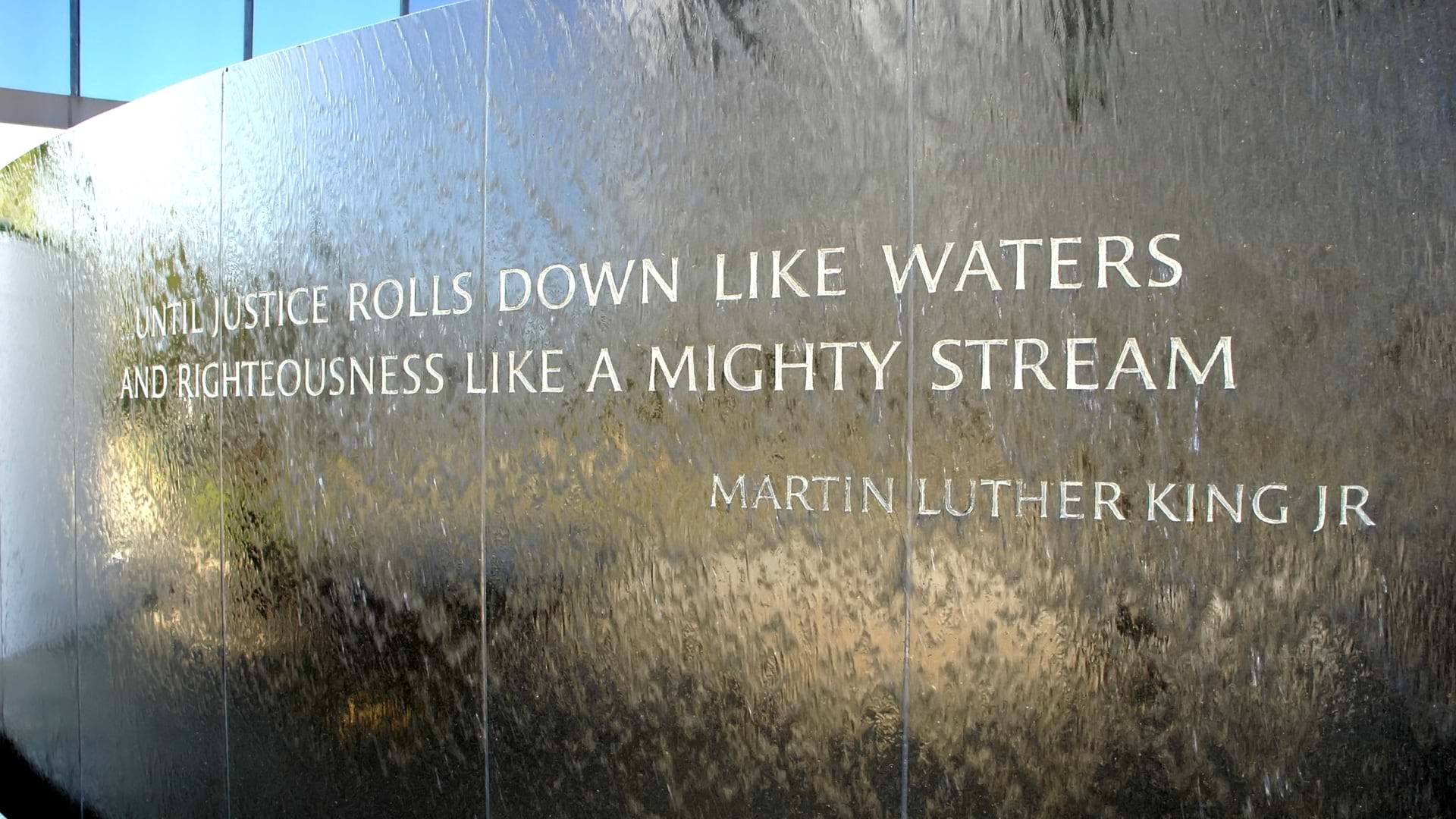
Digital maps and data science help NAACP show disparities along racial and geographic lines and where investment can improve or worsen conditions