displaying 1068 results
Esri’s ArcGIS for Server adds geographic data and analysis to web applications that serve organizations and communities in a variety of ways.
Esri is actively recruiting smart people with all levels of experience who get the job done. These positions represent openings at our...
It's a great time to be a GIS professional. Dramatic changes are taking place in the enabling computing and communication technologies that GIS…
Esri is actively recruiting smart people with all levels of experience who get the job done.
Bringing Business Efficiencies to Milwaukee Metropolitan Sewerage District
The Our Digital Earth course gives University of Oregon students hands-on experience with various GIS tasks like social media mapping, more.
Esri is hiring people with all levels of experience for positions at its headquarters, regional offices, and R&D Centers.
To everyone who attended the 2013 Esri International User Conference, I want to thank you for helping to make this year's conference such...
India has long been a leader in using modern spatial technologies and started its tryst with satellite images and GIS in the 1980s by having its…
Application Features Global Cities of 21st Century
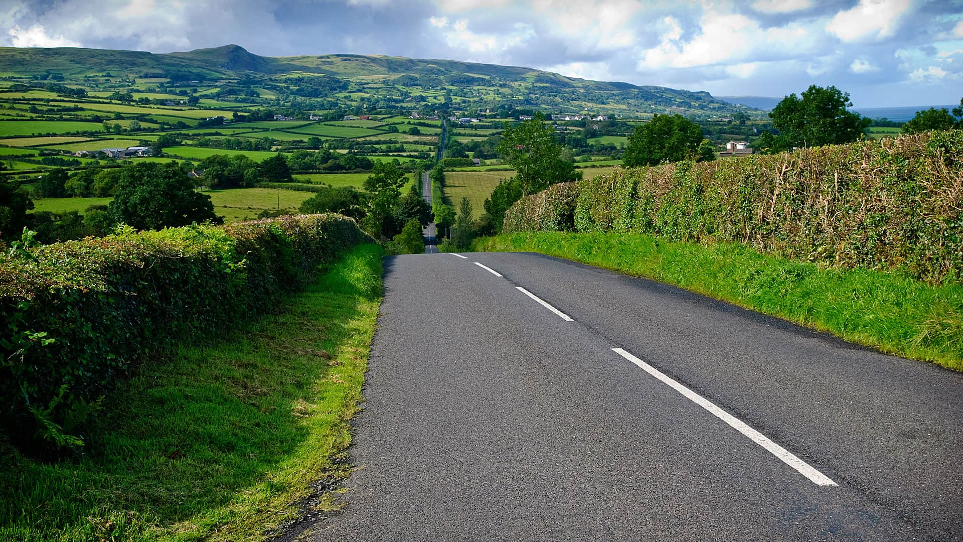
In Fermanagh, Northern Ireland, the district council is using ArcGIS technology to put up more than 4,000 road and townland signs.
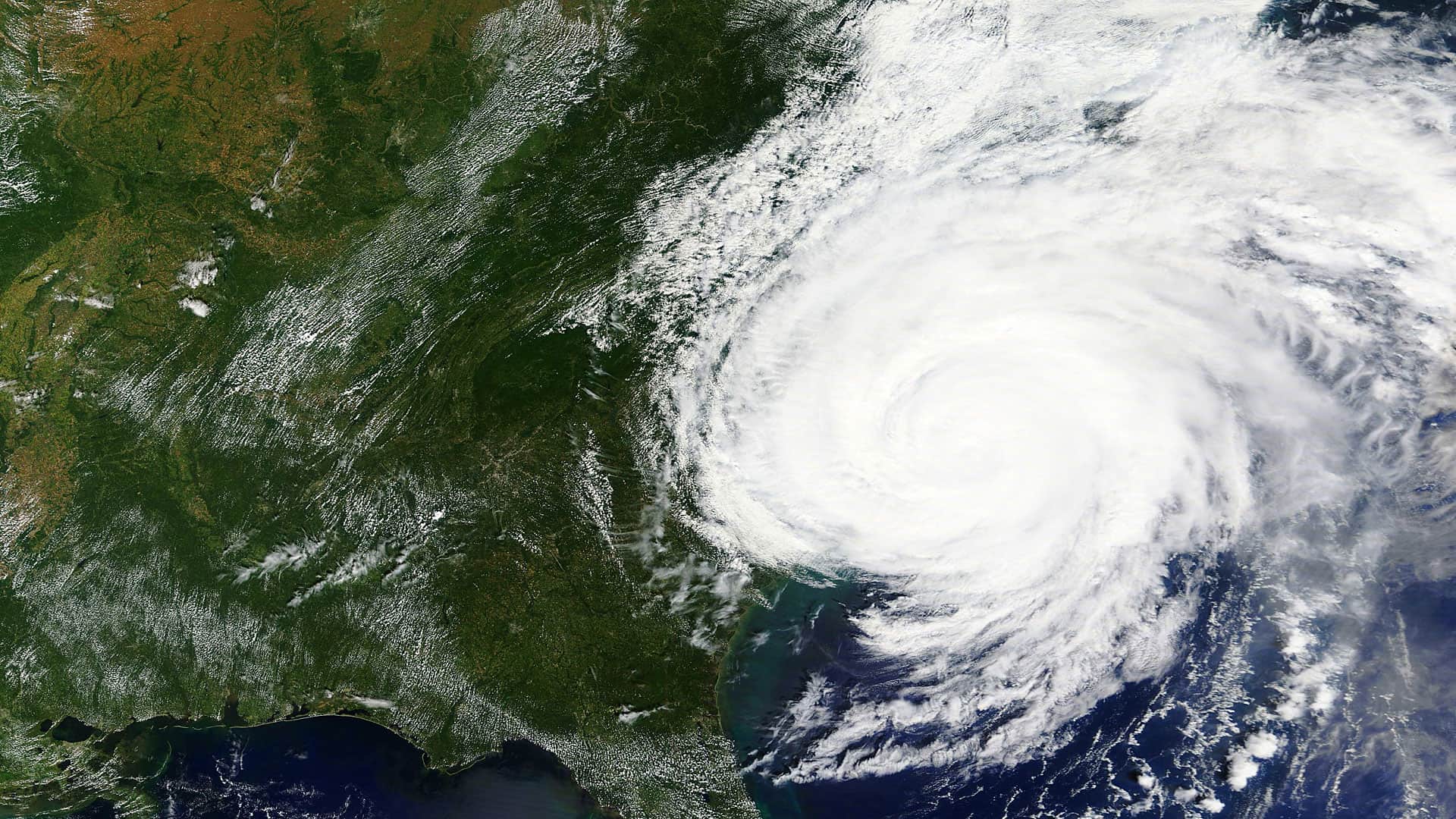
Web GIS is changing disaster response, allowing organizations to continually unite their daily operations with emergency needs.


