displaying 3089 results

With ArcGIS Enterprise, Naftna Industrija Srbije has made many of its business processes easier and more efficient.
A successful GIS implementation requires more than just technology.

GIS technology is at the core of new advances in speed, efficiency, safety, and sustainability amidst the construction industry’s red-hot growth.
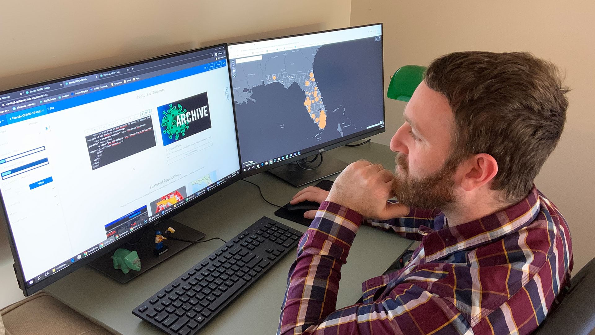
Open data sites help residents and local officials protect their communities, stay safe, and prevent infections.

Web GIS is changing disaster response, allowing organizations to continually unite their daily operations with emergency needs.

Location intelligence helps companies analyze the risks of water scarcity—one of the most significant threats to business continuity.

The government of Queensland, Australia, use ArcGIS AppStudio to help keep its residents and wildlife safe.

As the GIS team’s role evolves from making maps to building solutions, GIS managers need to be more proactive and strategic.

How does change factor in to putting together a new GIS implementation or expanding an existing one?

To track assets and workflows along with customer billing information, Sunriver Utilities turned to Elements XS from Esri partner Novotx.
The Summit began in 2010 as a way for GIS managers, leaders, and decision makers from public and private organizations to connect, share insight…
Glendale's 3M sign management system uses ArcGIS to help organize and display sign information easily.